This long and very diverse hiking trail partly follows a path and involves crossing rivers, walking over marshes and moraine ridges, ploughing through an area of landslide debris and scree before finally reaching a large flat area with stone blocks where you can easily walk towards the highest peak. This is where you can truly enjoy a magnificent view of all the other mountain tops in Ørskog. The area is snow free from late July.
The trail initially follows the same path as the trails to Grytavatnet and Lauparen. After you have crossed the first river on your way, you should aim for the south in the direction of Lake Litlebotnsvatnet. You can cross both the Grytagrova River and the river that runs from Lake Litlebotnsvatnet fairly quickly. There is a section with no clear path here, but if you keep walking along the western side of the last river you crossed, you will eventually find a path that runs southeast. Follow this path until you reach the height of a cabin (marked on the map at the height of 629 m). From there, drift slightly south and then southeast again. You will then find a decent path on the eastern side of the river that will take you all the way to Lake Litlebotnsvatnet.
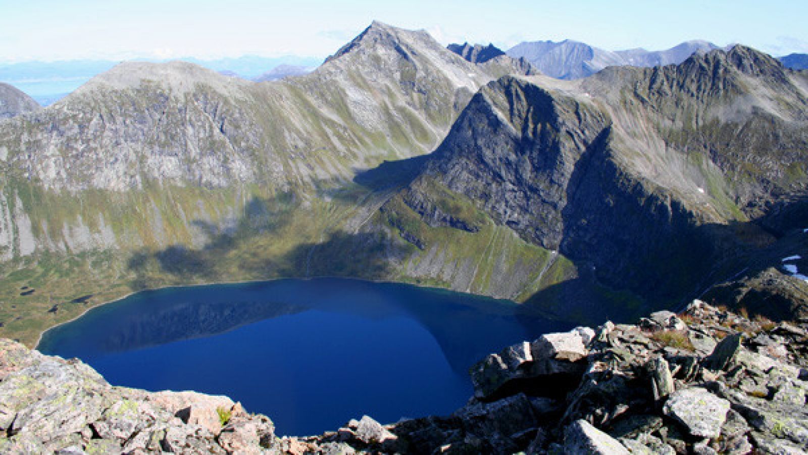
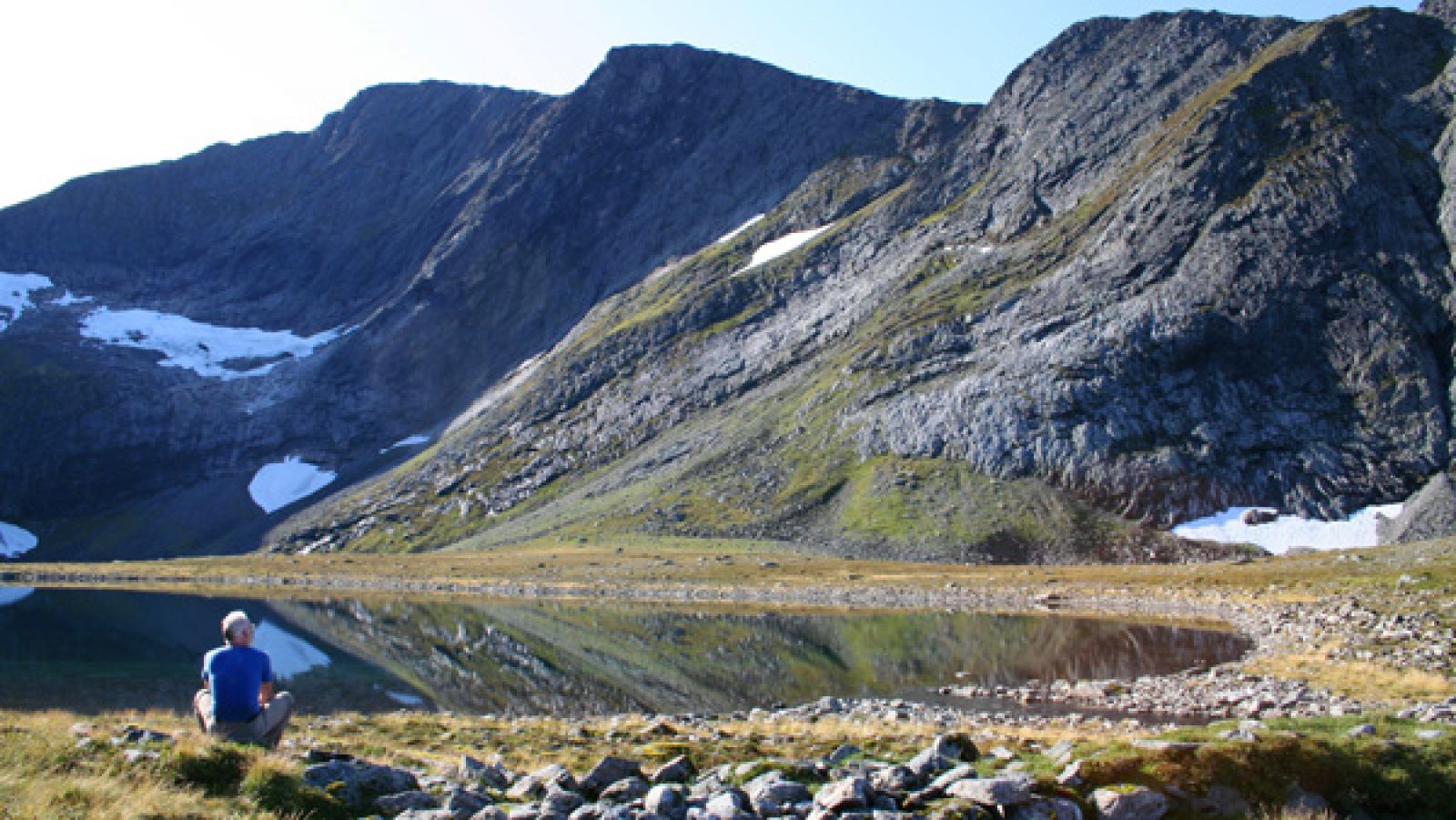
Litlebotnsvatnet is a nice spot for a break before you continue following the path along the eastern side of the lake. The path drifts away from the lake, and you should not start climbing up until you have come halfway through the valley and seen a green area of landslide debris which is easy to climb up as you aim for the link between Fremste Skorkja and Sandegga. The path will eventually disappear as you come up the scree area, but it is not hard to walk here. When you reach the link between Fremste Skorkja and Sandegga, you will get a fantastic view of the mountains Storbotnshornet, Grytavasstinden, Svartvassegga, Lauparen, and Sunnmørslauparlægda. If you go all the way to the edge, you can look straight down to Lake Grytavatnet and the lakes in Trollbotnen and Isbotnen.
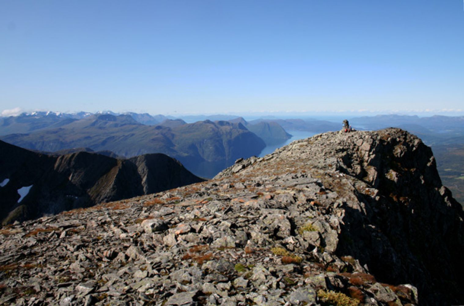
The hardest part of the trail is now over, and you can just stroll about in the direction of the mountain top while enjoying a view northwest towards Vaksvika, Storfjorden, and the islands outside Ålesund. When you sit down at the cairn, you will see that Mount Sandegga in the south is blocking some of the view, but you will still catch enough of a view to enjoy in this most spectacular area of the former Ørskog Municipality. Fremste Skorkja is after all the highest peak in the former Ørskog Municipality that is not located on a border with the neighbouring municipalities!
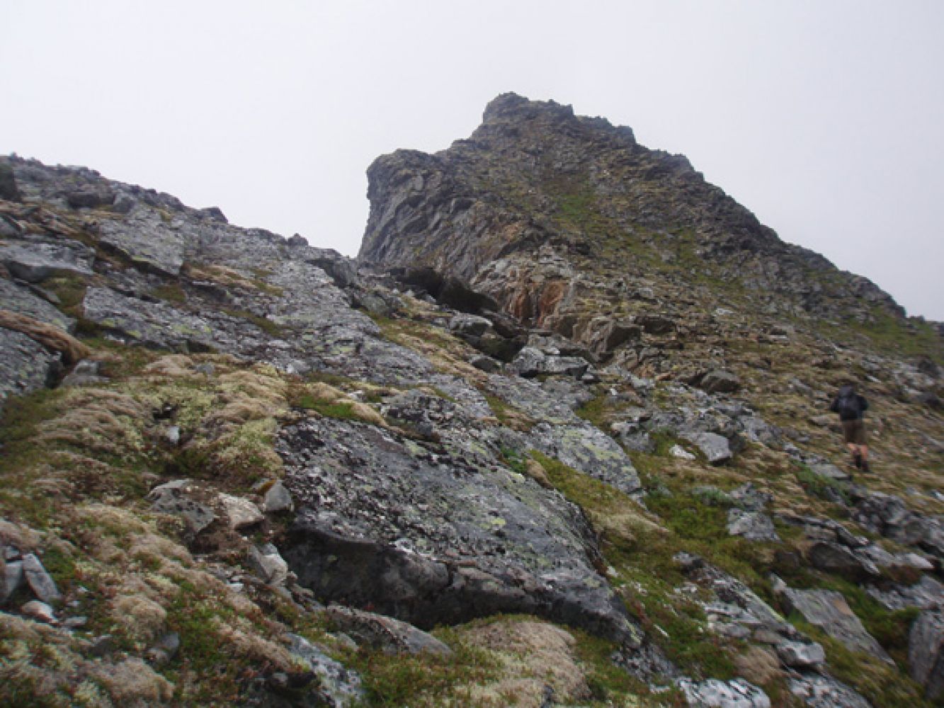
If you want to challenge yourself with more climbing, instead of first walking along the lake and following the route described here, you can aim for the top of the mountain immediately after you get to the lake. Please see the last photo.
Turn off National Road 650 (RV650) between Sjøholt and Stordal in Vaksvika. Drive east along the county road towards Tresfjord. You will drive past the farms in Vaksvika and Vaksvikfjellet Camping. After about 5.5 km, you will reach a junction where a toll road to Grytalisætra runs southeast. There is plenty of space to park your car in Grytalisætra.