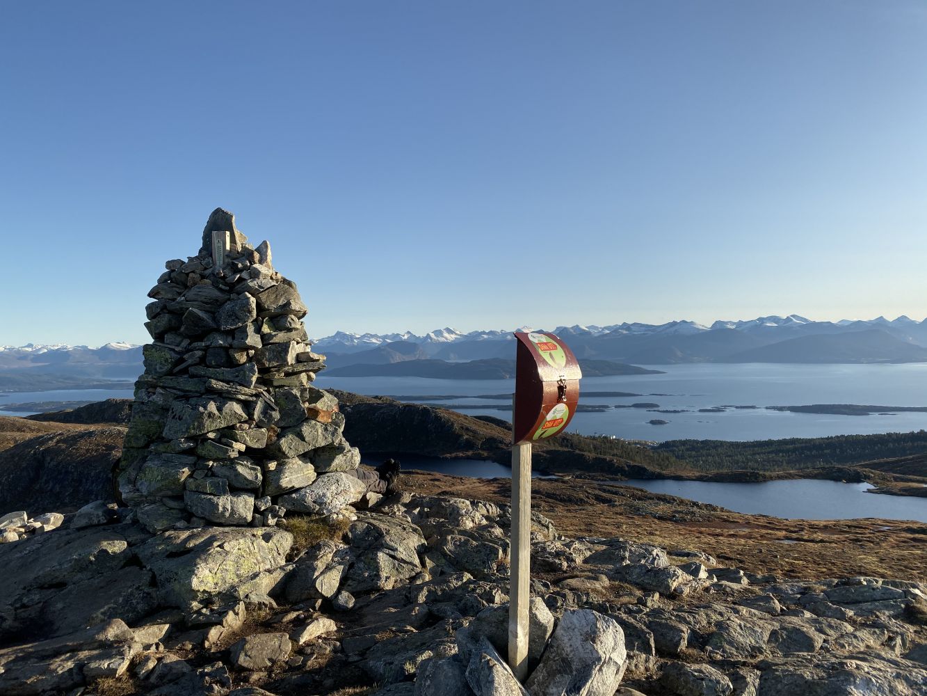
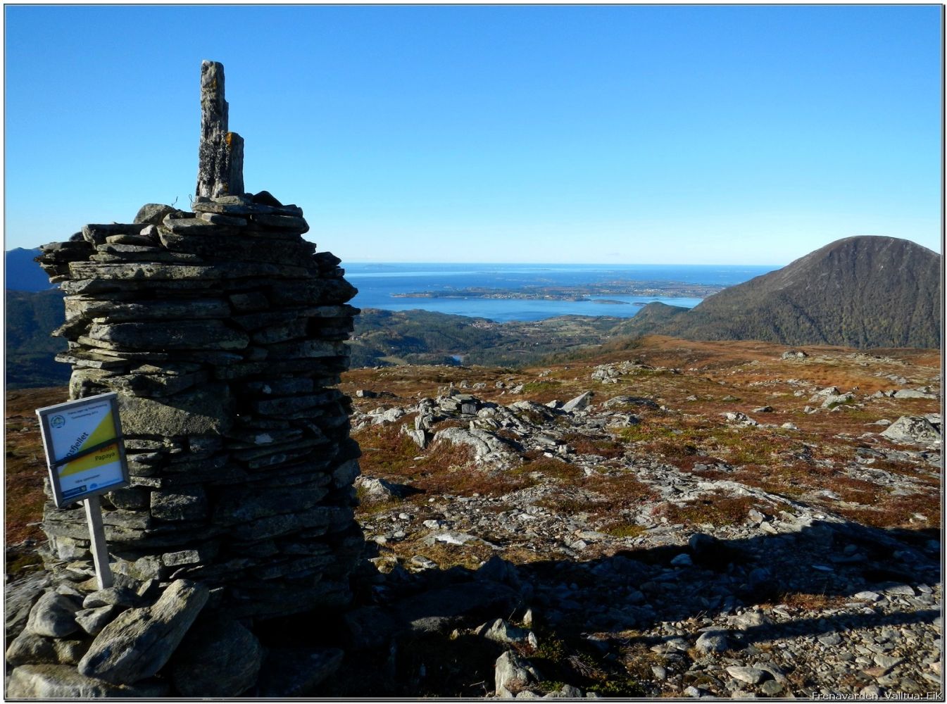
This is one of the most popular hiking trails in the mountain area of Moldeheia. The trail destination offers a wonderful view in all directions. Frænavarden is one of the highest mountaintops on Moldeheia. It is located on the border of the former Fræna Municipality where it is also called Middagsfjellet. The path takes you through diverse mountain terrain past idyllic lakes. The largest section of the trail runs above the tree line.
Route description
The hike starts at the Grua car park. Follow the asphalt footpath from the car park for about 100 metres and take the hiking trail (illuminated ski trail) to the right. You will reach Vardeveien Road after about 1.5 km. If you are looking for a shorter hike, it is possible to park here. From the car park by Vardeveien Road, continue walking further up towards Skihytta (Eng. The Ski Lodge). When the road takes a 90-degree turn and you see Skihytta in the west, follow the path that runs north up the hill past Skihytta until you reach a small lake called Auduntjønnan. From here, you will see the top of Mount Frænavarden in the north. Follow the path northeast along the lower side of the dam. You will see a Stikk Ut sign there. Walk along the marked path between the lakes towards the red cabin. In order to limit the deterioration of the marshy area, the path to the mountaintop is marked further east of the most used one. Follow the path northwest when you are just south of the red cabin. From here, there is a short section with large stones that requires some climbing. When you come up to a post with several signs on it, follow the Stikk Ut arrow that points east. In clear weather, you will see the mountaintop in front of you from this point on. There is no clear path when you start walking east, so you need to keep to the lower side of the ridge and look for the Stikk Ut post. You will come across a well-defined path after a couple of hundred metres. Follow this path up to the top.
Arrival and parking
Park your car by the Hatleli Tunnel (Grua) or next to Vardeveien Road.