From Garnes to Garnesvatnet
Ulstein
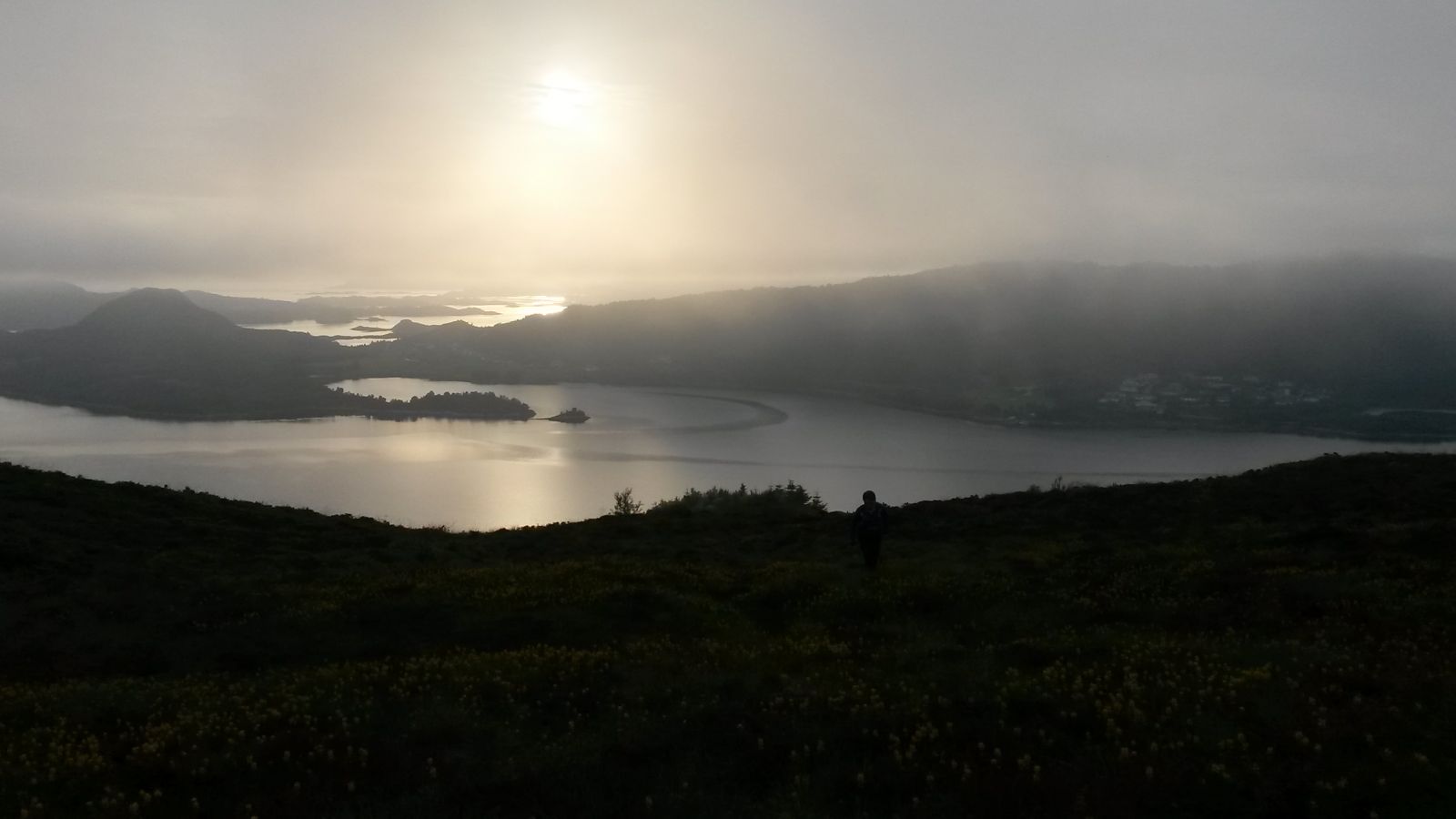
This lovely trail to Lake Garnesvatnet will first take you through a forest and then an open landscape. As you approach Lake Garnesvatnet, you will get a beautiful view of the bays of Garnesvika and Haddalvika with the islands further away.
Start walking from the car park next to the roundabout. Walk across the road and up through the forest. The sticks along the road will show you the way. As you walk further up, it is easy to follow the path through the heathland to Lake Garnesvatnet.
Park your car south of the roundabout in Garnes.