Folkestien Path in Nesje
Molde
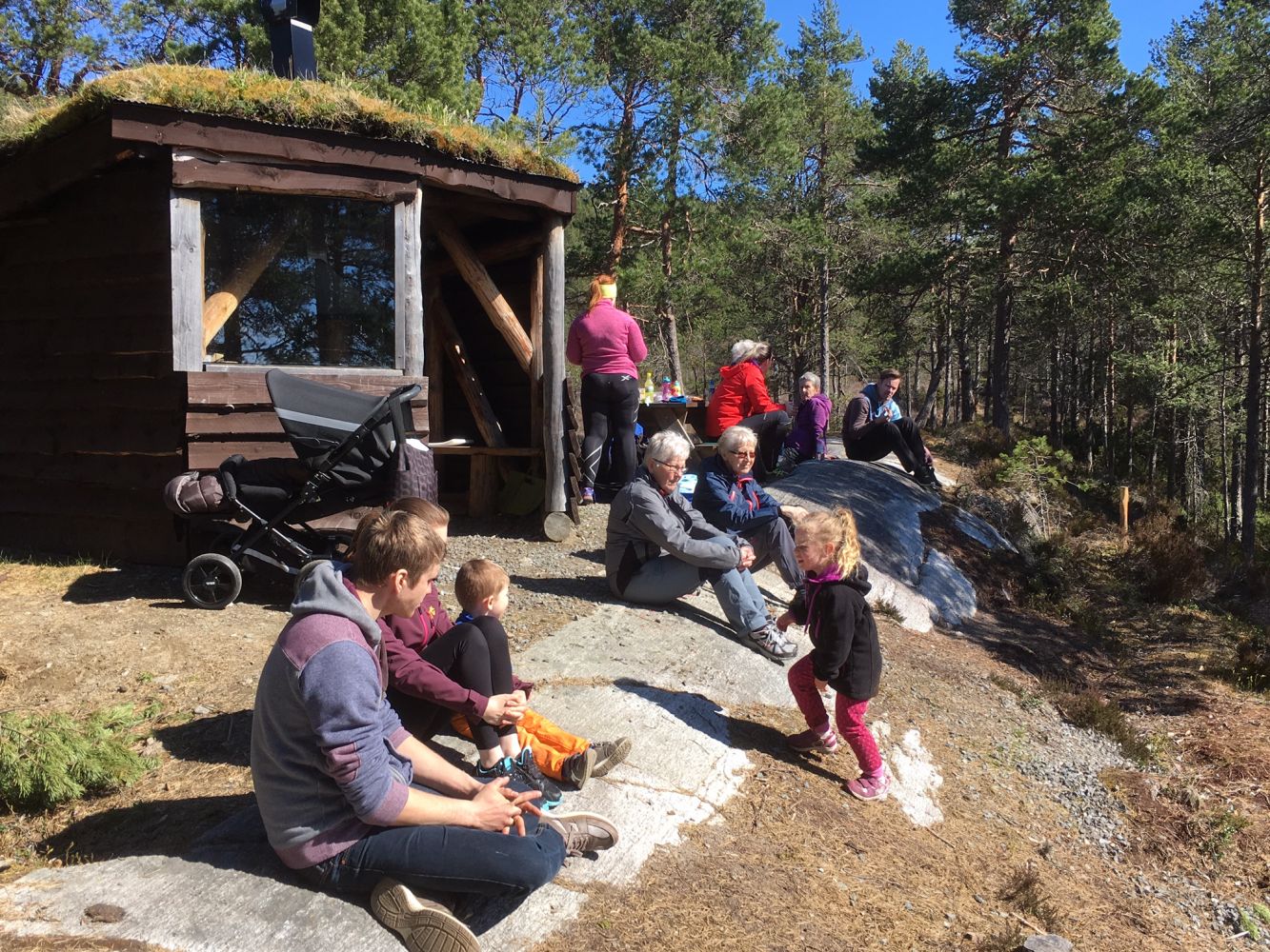
This is a nice and easy trail that follows a solid path. There are several benches you can rest on along the way, and the trail is well waymarked so that you can keep track of how far you have come. The trail destination is a lovely “gapahuk” shelter with a place to make a fire. Remember to put out the fire before you leave!
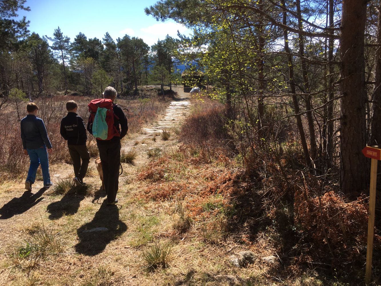
Starting from the car park, walk across the national road and start following a nice and dry hiking trail. The trail postbox is placed in front of the “gapahuk” shelter north of Stormyra. The alternative return route is to follow waymarks to the Hauastien path. It runs along the hillside north of the hiking trail you followed. This path is good, but it features some wet sections.
The trail starts and ends at the same place.
If you choose to follow the Hauastien path on your way back, your trail will be about 1.3 km longer, and you will come out onto the road about 150 m north of the car park.
Drive along National Road 64 until you reach the shop in Nesjestranda (Bunker Oil station) and park your car on the eastern side of the national road. The car park is shared with those who follow the Kammen trail.
There is a car park on the eastern side of National Road 64, just north of the shop/Bunker Oil station in Nesjestranda.
Duration
1 t. 0 min

Sesong
Spring, Summer, Autumn
| Surface type |
Distance |
| Grus |
1,8 |
| Sti |
0,5 |
You can take a bus to Nesjestranda. Please check the timetable of Nettbuss bus company. The trail starts 60 m north of the bus stop.
 Driving directions
 Route data
GeoJSON
Route data
GeoJSON