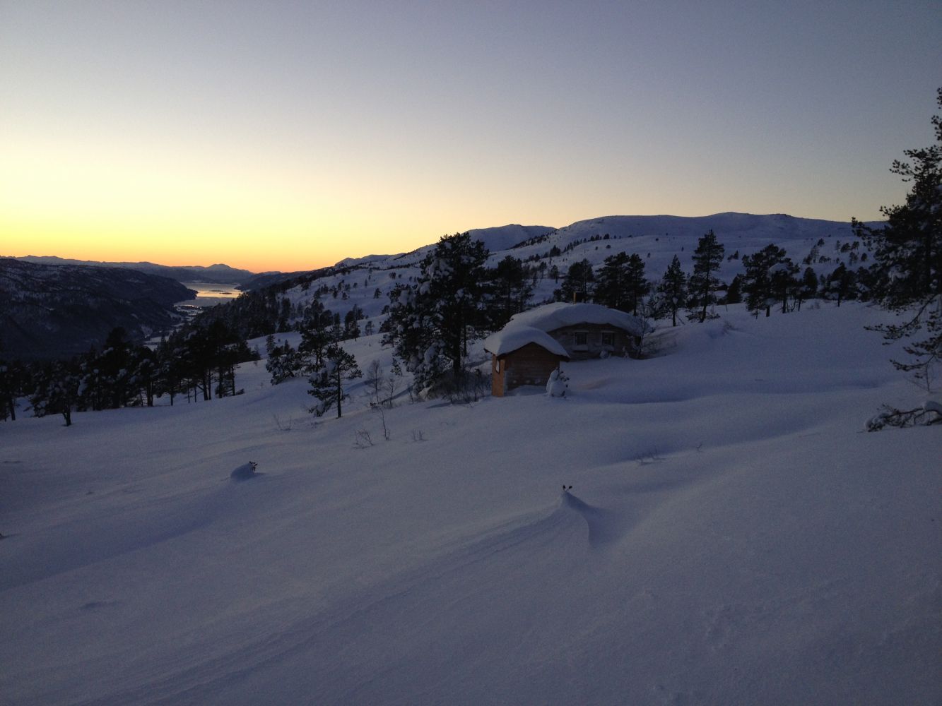
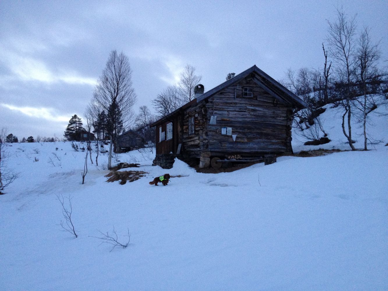
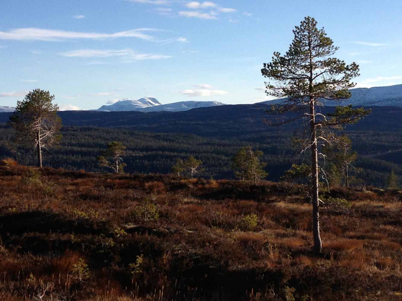
This short trail can be perceived as quite demanding since its first section follows one of the steepest forest roads in the village. This is where you can really get up steam if you are up for it. Since the trail is quite short, it is also suitable for those who are less fit, but it would take slightly more time. You will walk past great viewing points, and your destination is a scenic farm and a mountain pasture. On the wall of the cabin at Flåttasetra, you will find a trail journal.For a longer hike, you can walk up Mount Lykkjefjellet (626 m a.s.l.) which is right up the mountain farm. Although this mountaintop is not very high, it offers a surprisingly good view.
Take the turn to the Bøverdalen Valley at the junction in Bæverfjord. Drive up the valley until you reach Myrholten after about 9 km. Myrholten lies just next to the road. It will be on your right after a long and steep hill. When you reach Myrholten, turn left onto a forest road that climbs uphill. Leave your car at the car park 200–300 metres up that road. Walk up the forest road from there. The hike is generally steep. After a very steep climb, the road turns right. You will see some signs at the outer edge of this turn, and this is where you need to turn left from the forest road and follow the path to Flåttasetra. Once you walk onto the path, you will follow relatively flat terrain all the way to the mountain farm.
Myrholten, Bøverdalen. Park your car by the forest road above Myrholten.
Duration
1 t. 35 min.

| Surface type |
Distance |
| Sti |
2 |
Make sure you step firmly on the ground on your way down! A steep forest road and stones is a tricky combination so be careful when you walk back.
 Driving directions
 Route data
GeoJSON
Route data
GeoJSON