Hamarstøylvatnet - Feittbrennaren
Hareid
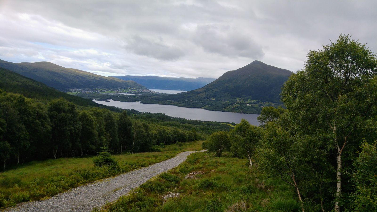
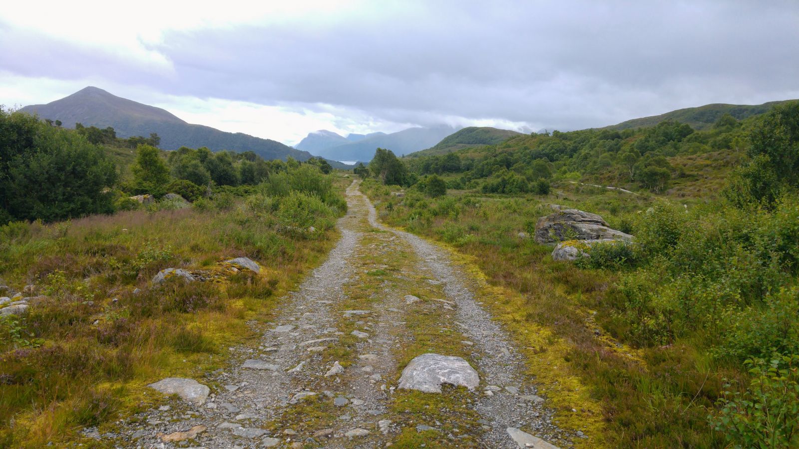
Feittbrennaren ("The Fat Burner") is a frequented hiking trail in Hareid. As the name implies, the trail is often used by those looking to lose some weight or get in shape. The hike is suitable for everyone and takes about an hour, round trip. The entire trail is along a gravel road or tractor road apart from a short 20-metre stretch of asphalt by the treatment plant. Despite the modest altitude, there are great views of the lakes Snipsøyrvatnet and Grimstadvatnet, Storfjord, Melshornet and Hareid.
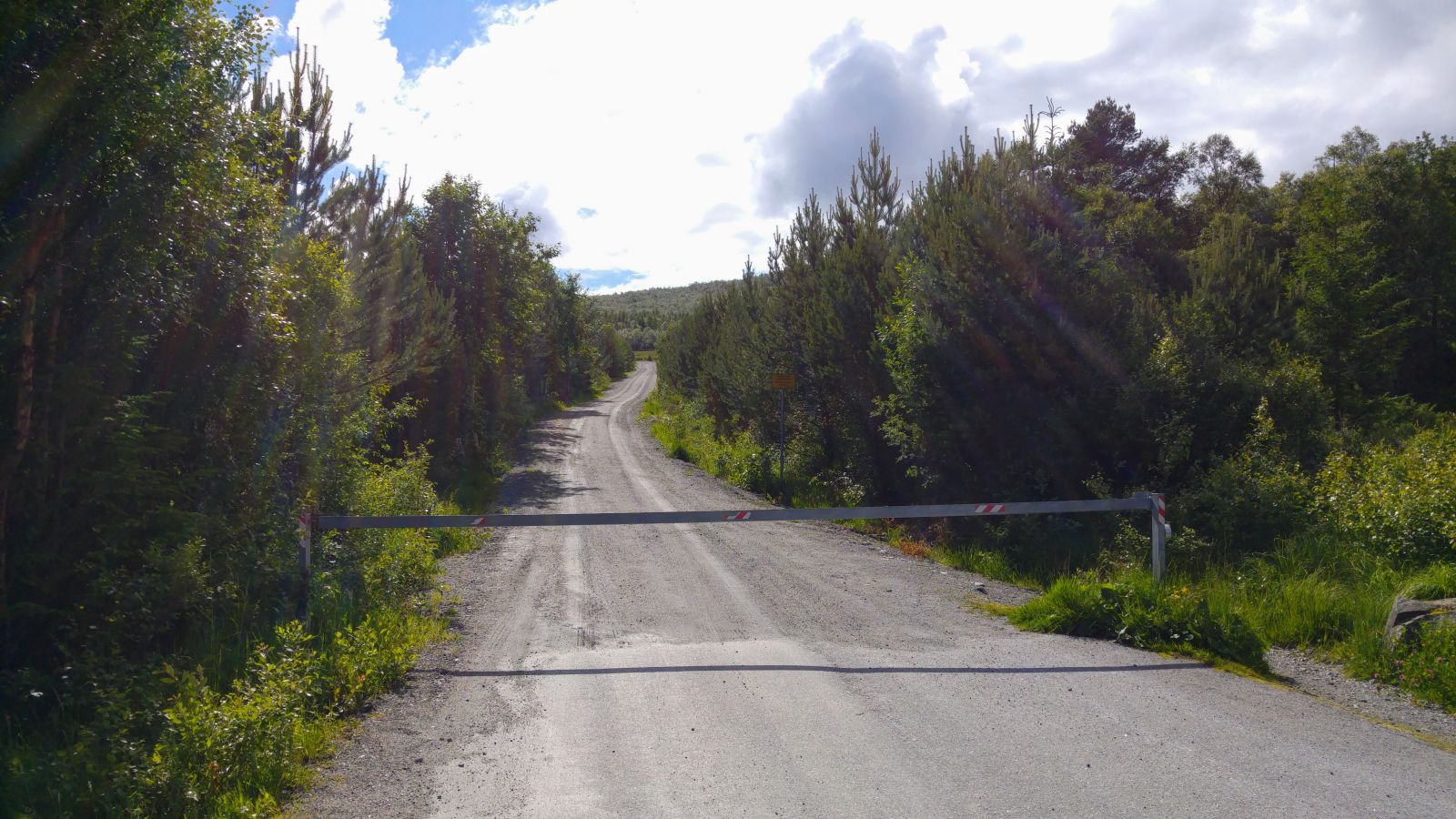
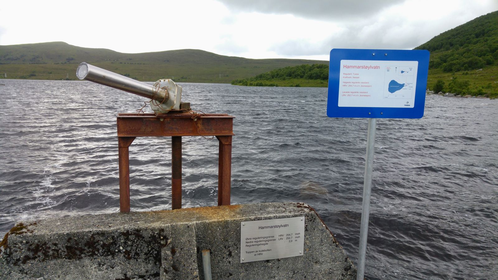
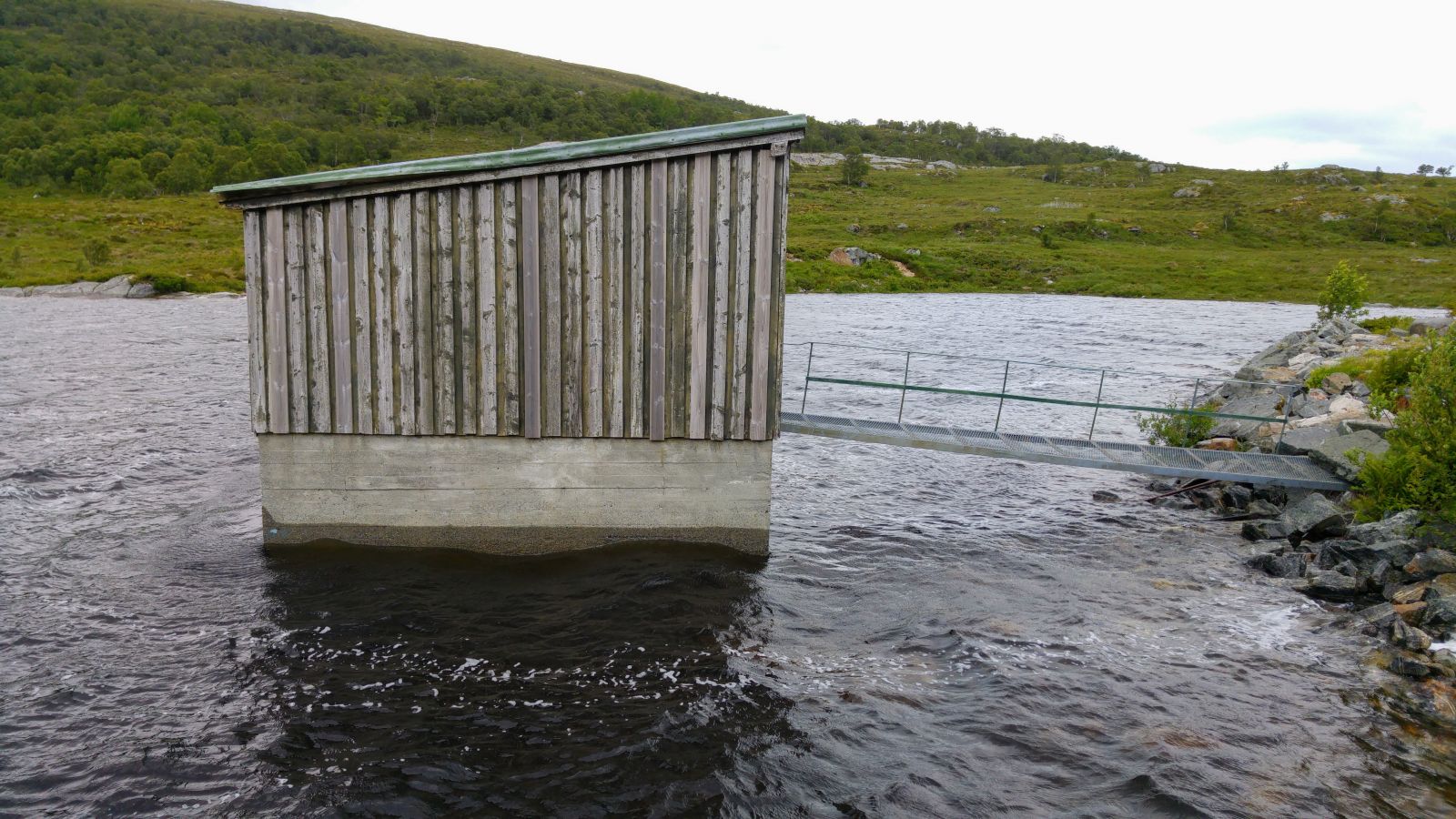
Start at the boom gate where you turn off from Snipsøyrdalsvegen and head up a gravel road to the treatment plant where you will arrive on a tractor road that leads up to Hamarstøylvatnet Lake. Most of the trail has a gradual elevation, but the last third of the trail towards the lake is along a flat or slightly hilly terrain. There are some good rocks where you can take a break by Hamarstøylvatnet Lake, but it is often windy.
Right by Bigset chapel, between Hareid and Ulstein, turn off on Snipsøyrdalsvegen. Continue for 3 km and park in the area by the boom gate. The trail starts there.
It is easy to park by the boom gate, possibly along Snipsøyrdalsvegen if that area is full.