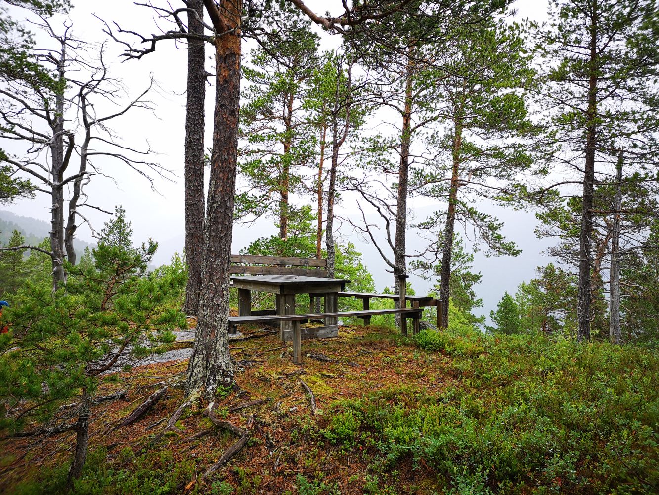
This is a short trail with a moderate ascent to a scenic picnic area with benches and a table.
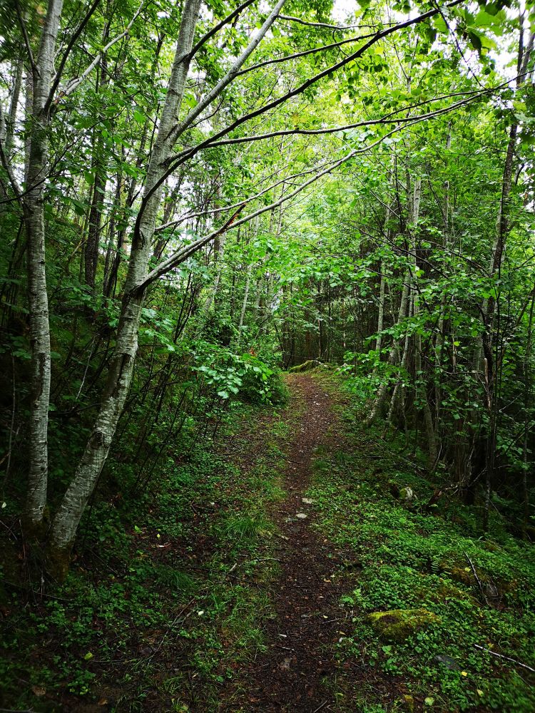
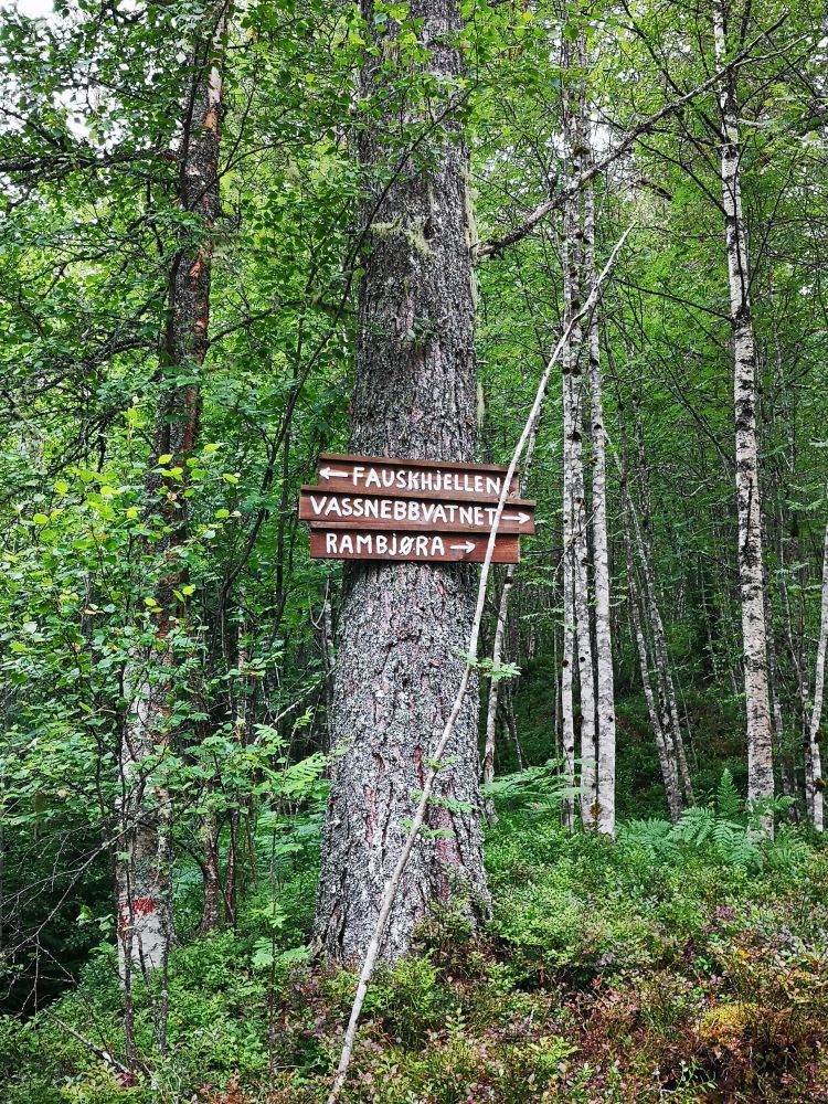
The trail starts behind a shed on Halsetvegen Road. Follow the forest road after you pass the shed until you see a sign with an arrow pointing to Fauskhjellen. After passing the sign, you will need to cross a small river, which is easy to do. On the next ascent, you will see a path beginning on your right-hand side. You can either take that path or continue walking straight ahead. The path and the forest road meet again further up the hillside. Red marks on stones and trees along the way show you the route.
The closest car park is Bordholmen (the sports ground), just before the starting point of the hike. Please see the map.
Distance
3,24 km both ways
Duration
1-2 t

Sesong
Spring, Summer, Autumn
Signage
No signage or markings
A postbox with a trail journal set up by the Todalen Sports Association.
 Driving directions
 Route data
GeoJSON
Route data
GeoJSON