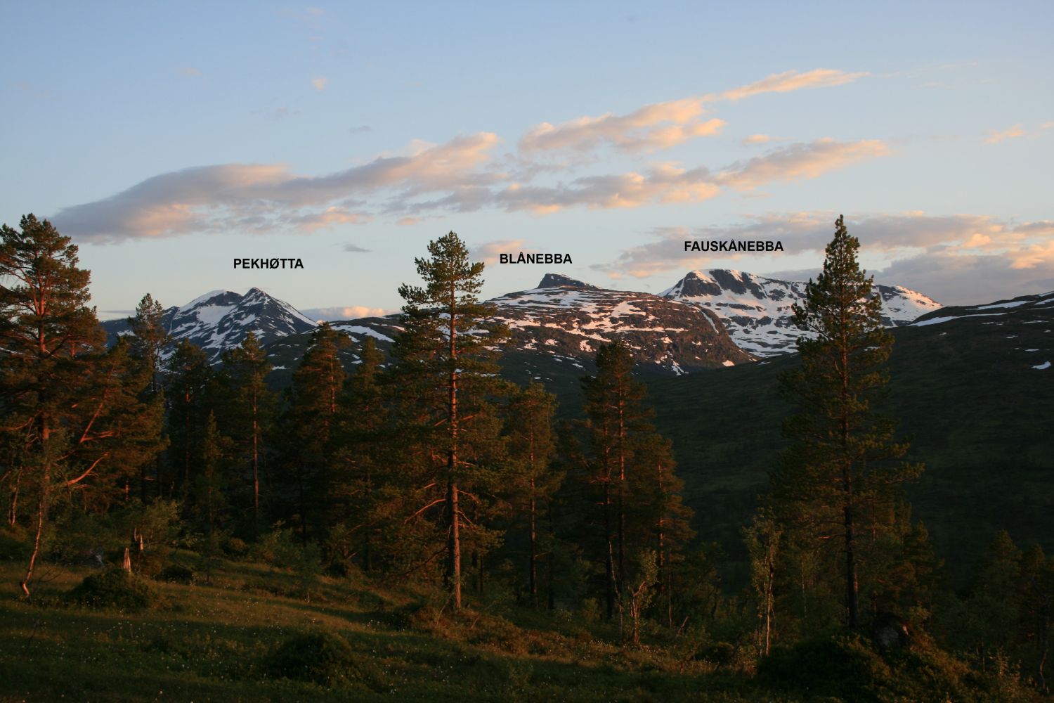
Fauskånebba from Vinddøldalen
Surnadal
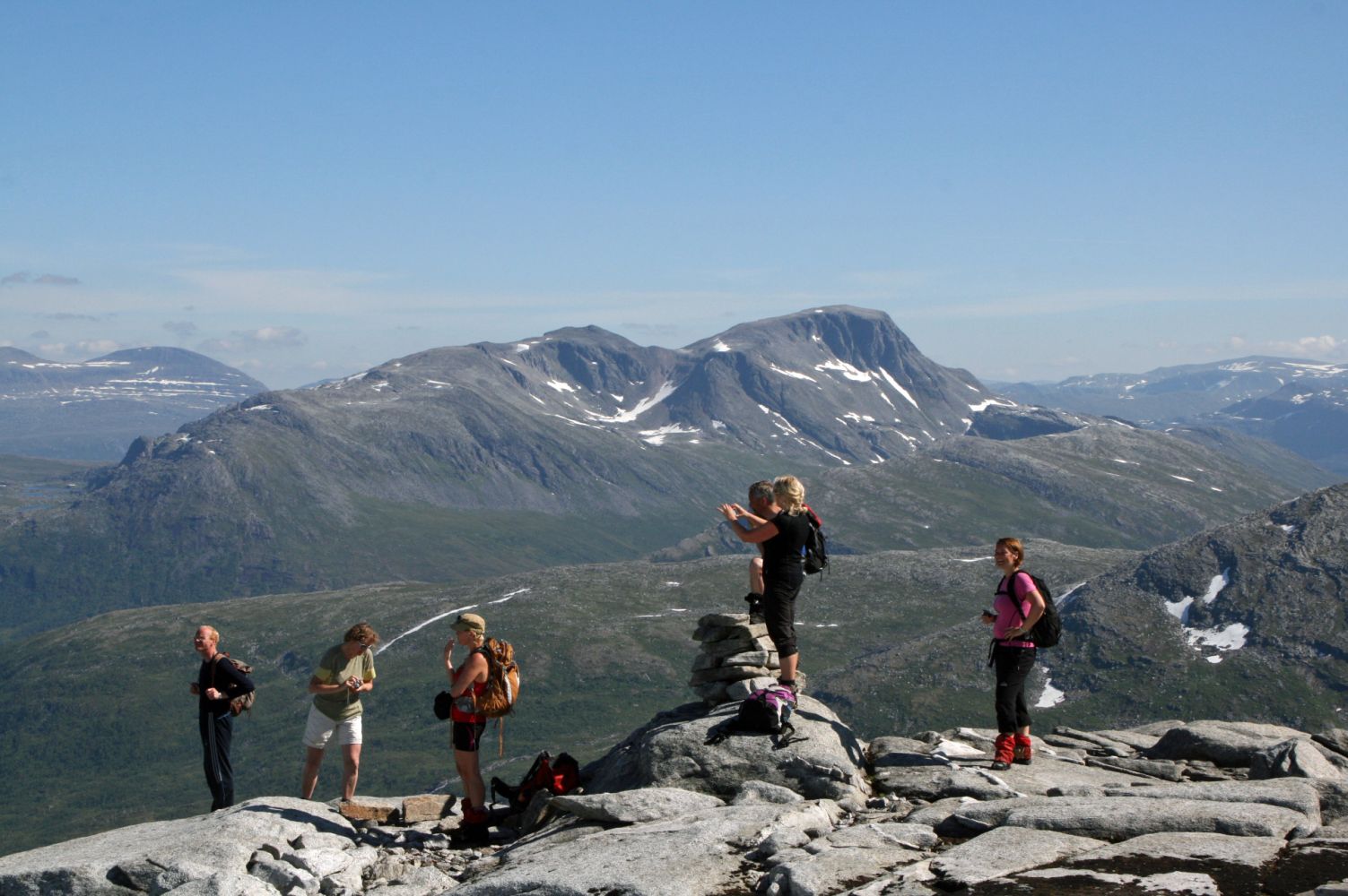
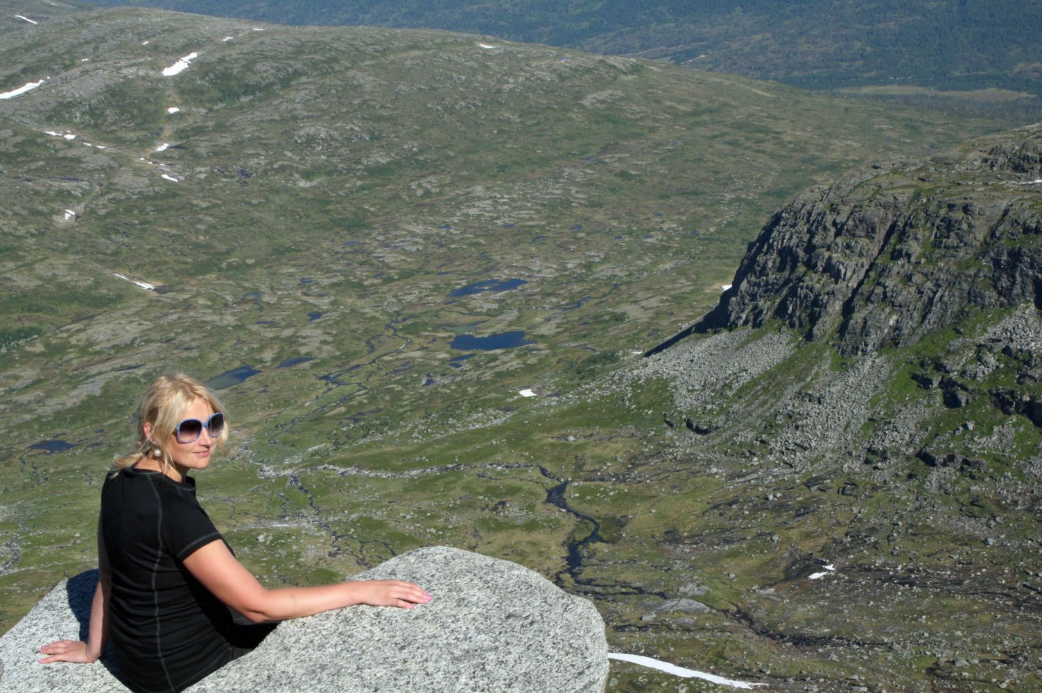
Mount Fauskånebba (1325 m a.s.l.) lies to the west of the Trollheimen mountain range between the valleys Vindøladalen and Søyådalen. When viewed from Vindøladalen, the mountain may seem steep and inaccessible, but the summit hike is manageable and definitely recommended. The mountaintop offers a panoramic view of Mount Snota and large parts of the Trollheimen mountain range.
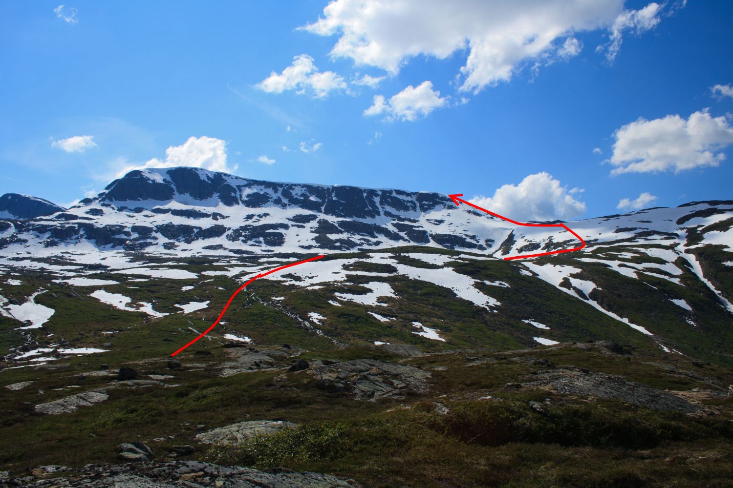
Start by walking or cycling from the car park along the Vinddøla River for about 2.5 km until you reach a bridge over the river. Cross the river and follow the path through the cabin area. When the path disappears after the cabin area, walk southwest until you reach the valley between the mountains Langøyfjellet and Seterfjellet. To get to Fauskånebba, begin by aiming for the mountaintop. When the terrain flattens out after about 800 m, turn north and walk until you see where it would be easiest to climb further up the mountain. The steepest section of the hike is along the ridge towards the summit. The easiest way to tackle it is by walking up to the ridge from the northwest. The final couple of hundred metres before the cairn at the summit involves a gentle ascent.Follow the same route on your way back. However, if you want to extend this hike, walk further to Mount Blånebba and down through Eiterdalsskardet. Note that the descent there is a little steeper.
Drive along RV65 between Surnadal and Rindal municipalities. About 9 km east of Skei in Surnadal Municipality, you will see a sign for Vindøldalen. Follow the toll road for about 11 km until you reach the car park by Pebua.