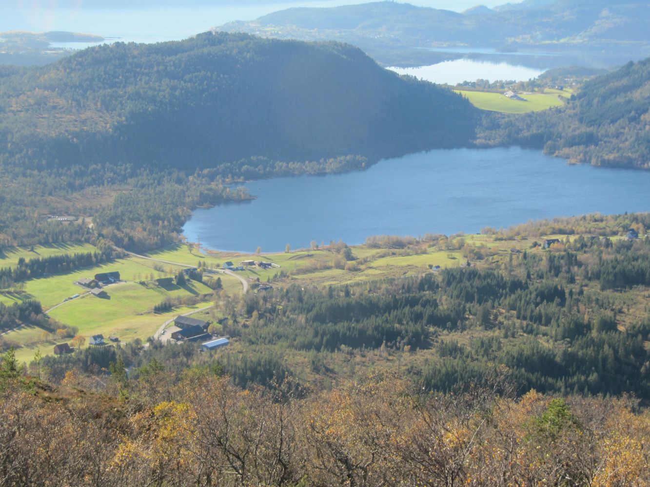
As you walk up the hill following Nesjesætervegen Road, you will see a shooting range of the Engesetdal and Skodje Shooting Association on your left-hand side. The road primarily follows the border between the villages of Engesetdal and Fylling. The large border stone in the middle of the road that you will see as you climb the last hill before the summer mountain farm, is locally called Kvitekyra. Once you come to Nesjesætra (summer mountain pasture used by the farmers of Langnes and Kasnes in Fylling), you will get a great view of Storfjorden in the south. The locals used to come here in the old days to watch tourist ships sailing through the fjords. You will also have a great view towards Engsetdalen in the west. Once you are at the top of Mount Engsetfjellet, you can enjoy a great view of the mountain ranges Romsdalsfjella in the east, Sunnmørsalpane in the south, Mount Grasdalsfjellet and Mount Frostadtinden in the north, as well as the fjords and the coast in the west.
The trail starts from the car park in Fylling, about 100 m east of Skodje Byggvare AS. After following County Road 106 in the direction of Engesetdal for 200 m, the trail goes along Nesjesætervegen Road for about 2 km. Once you are in Nesjesætra in front of an old building by the road, turn left up a well-trodden path that climbs uphill. As you continue walking, there will be less forest and more marshy areas. Follow the waymarks that lead to the top of Mount Engsetfjellet, 535 m a.s.l. If you are not familiar with the area, it is recommended that you follow the same way back down to the car park.
The destination of this trail is the top of Mount Engsetfjellet where you will find a trail postbox with a Stikk Ut code.
There is a large car park.