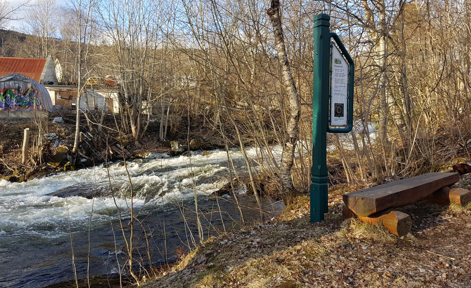
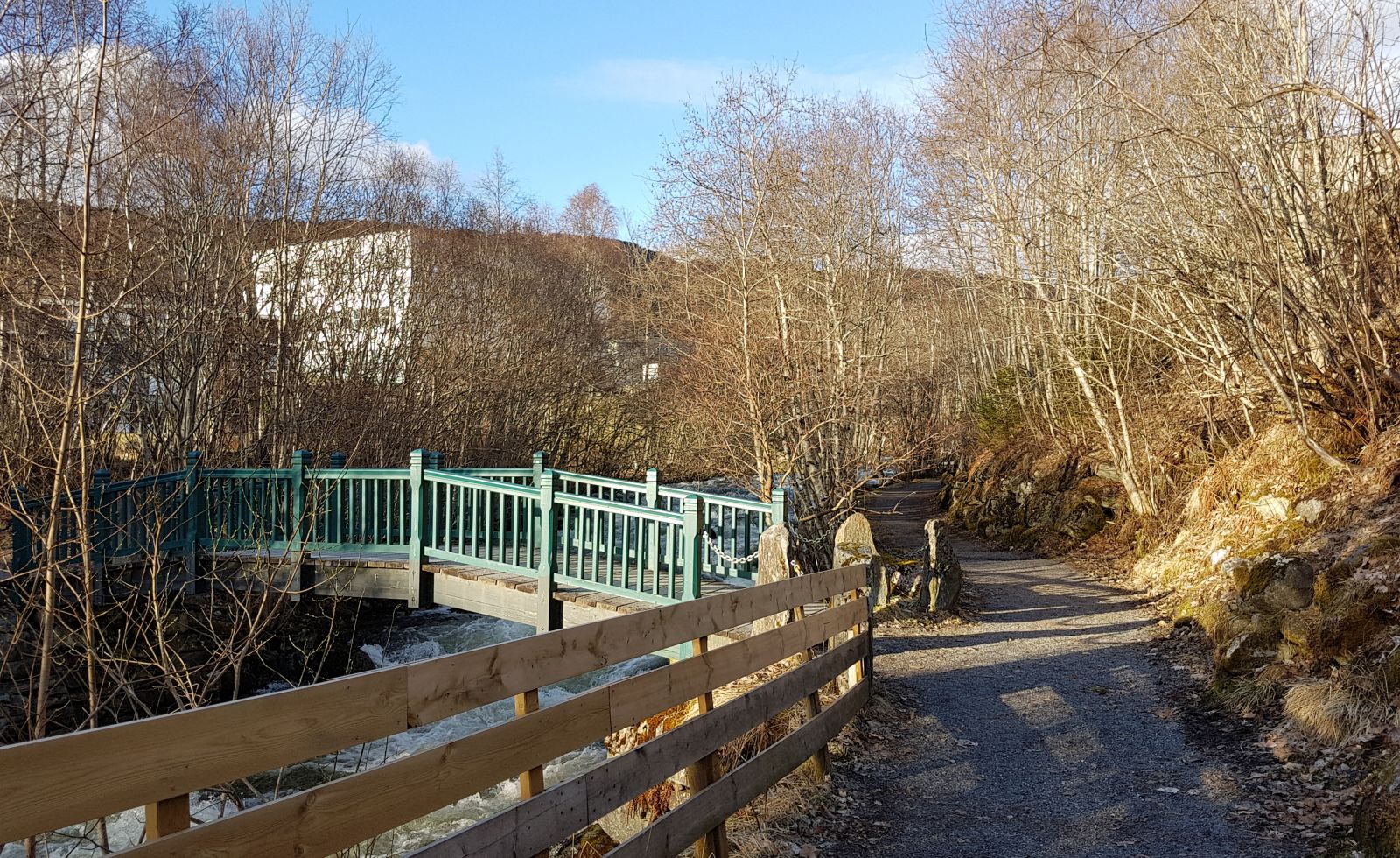
This is a gem of a hiking trail right in the centre of Volda. The trail starts in the centre of Volda and goes up to the Årneset area on Lake Rotevatnet. This is where you will find a swimming area, a beach volleyball court, a disc golf course, and a boathouse of the Volda Hunting and Angling Association. You can also take a walk through the stadium or the stadium park (Stadionparken) which has become a great outdoor activity area. This trail goes from the centre of Volda to Årneset. If you want, you can extend your hike when you reach Årneset and walk or cycle around Lake Rotevatnet.
Route description
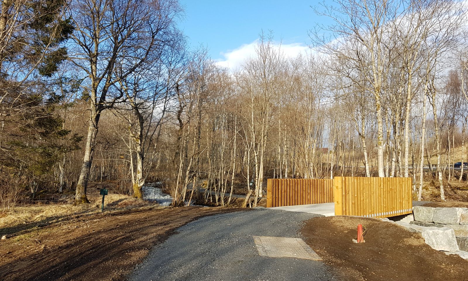
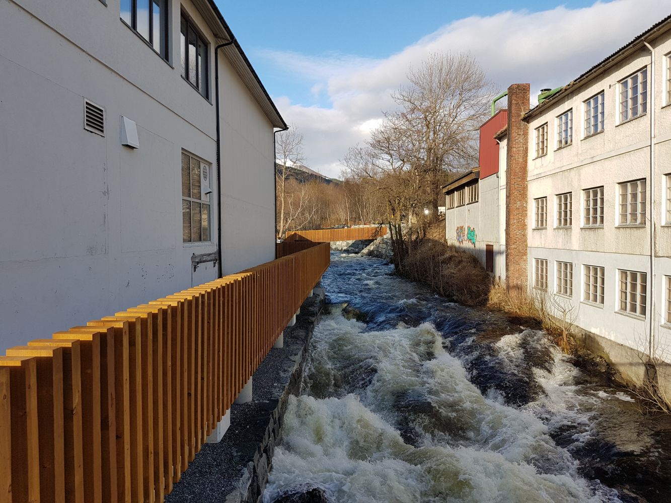
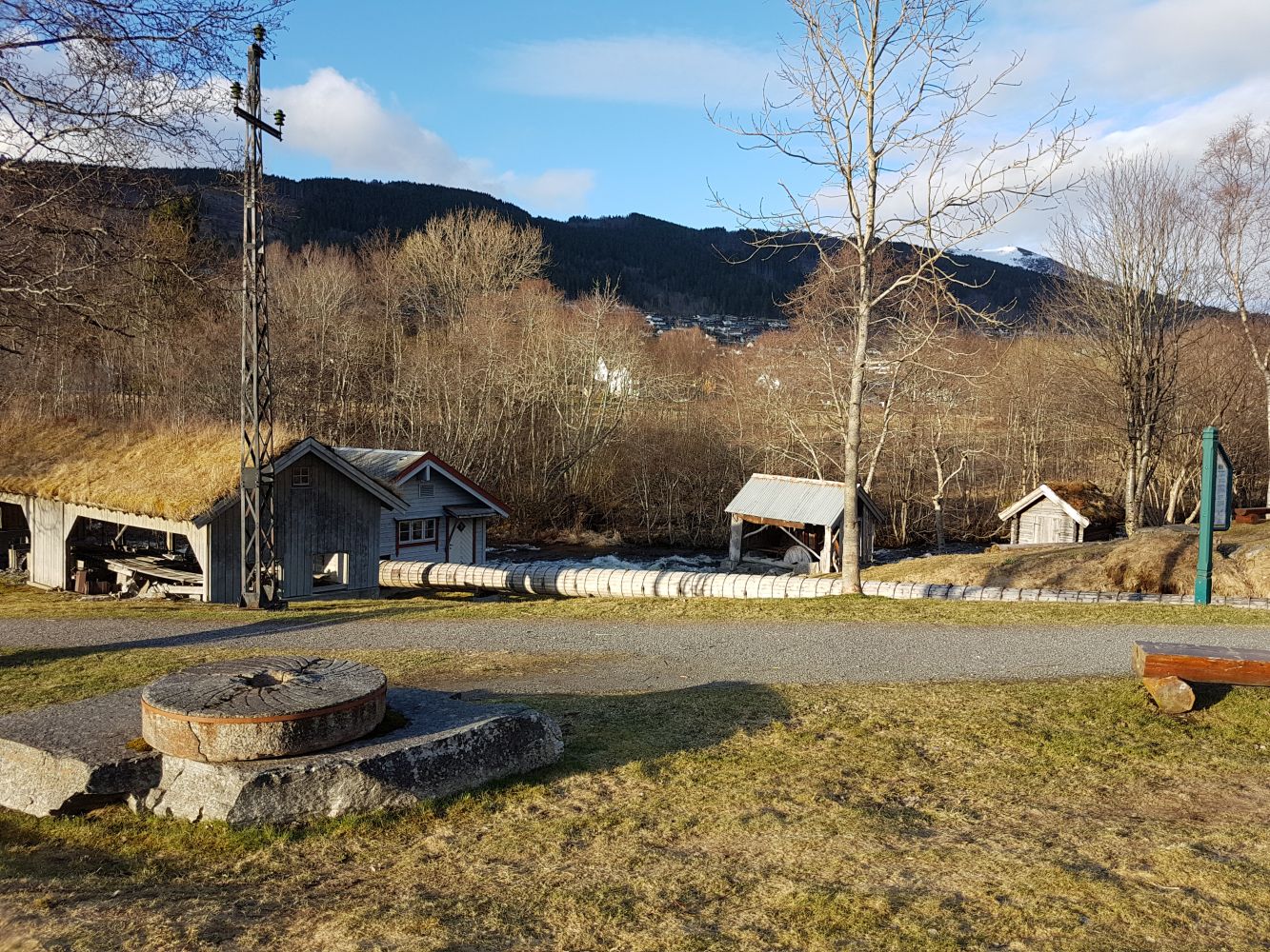
The trail follows a solid gravel road with the starting point in the centre of Volda opposite Sparebanken Møre. It runs along the river all the way up to Årneset.
Access and parking
The trail starts at the bridge where E39 takes a 90-degree turn, just next to the Halkjelsvikbil auto repair service and the Spinneriet shopping centre.
You can park your car at the underground parking area of the Spinneriet shopping centre or find another place in the centre. Another option is to park in the Årneset area in case you want to walk in the opposite direction (down to the centre).