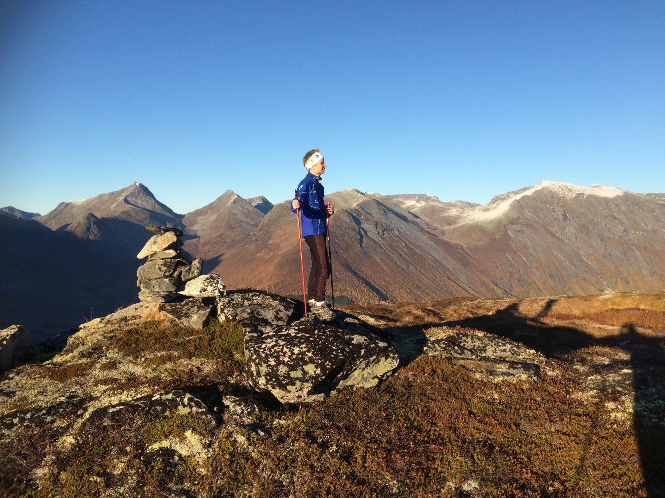
Enjoy this nice looped trail with a view out to fjords and mountains. Once you complete the first ascent up to 900 metres above sea level, you will have a nice hike through gentle terrain ahead of you.
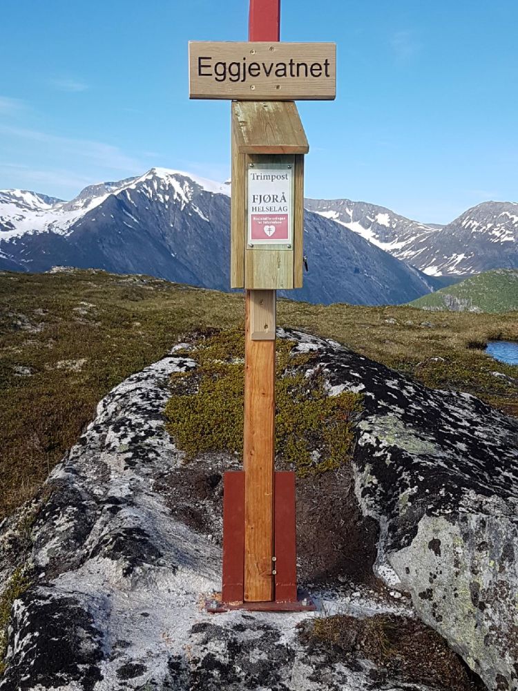
Start walking from the car park in Hauge (400 m a.s.l.), follow the asphalt road for about 350 metres until you come to the farm road on your left-hand side with a sign to Nysætra. Follow the farm road (private gravel road) for 2.3 km uphill until you reach the rest area in Nysætra at about 680 m a.s.l.From there, walk along the path signposted to Mefjellet and Eggjevatnet. The path climbs up for slightly less than 200 altitude metres until you reach a sign at the fork in the path. Follow the path to the right towards Eggjevatnet. The path flattens out here, and you start walking through flat and gentle terrain with the majestic Mount Mefjellet (1100 m a.s.l.) on your right. The distance between Nysetra and Lake Eggjevatnet is about 2 km. There is an idyllic stone table with benches by the lake near the trail postbox. It is possible to take a dip in the lake. You can also write your name in the Fjørå Health Association’s trail journal that you will find here.Lake Eggjevatnet lies on Mount Bjørstadnakken with the highest point at 965 metres above sea level. Enjoy the great view of the Valldalen valley as well as the fjords and mountains of Norddal.Continue following the mountain side of Bjørstadnakken further west and then downwards. Walk through a gently-sloping section, then a steeper section, and then a gently-sloping section again until the path flattens out and you reach Ruggå at 540 m a.s.l. This is where you find Ruggesteinen, the stone that sways from side to side when you stand on it, and a trail shelter which is open for everyone. You will find both the Stikk Ut trail postbox and the trail journal maintained by the local health association. Follow the marked path and the tractor road from Ruggå down to the car park.
Drive from Sylte in the centre of the Valldal valley through the tunnel towards Fjørå and Tafjord. Once you are near the quay in Fjørå, start following the signed road towards Selboskar. The road climbs up the hillside and splits in two near Selboskar. Take the 180-degree turn to the right. After about 250 metres, you will reach a marked car park on the lower side of the road in Hauge at 400 m a.s.l.
You can park your car free of charge in Hauge.
Duration
5 t. 30

Signage
Both signed and marked
| Surface type |
Distance |
| Asfalt |
0,3 |
| Grus |
2,8 |
| Sti |
5,1 |
Norddal tourist map 1:50 000, Tafjordfjella 1:50 000
 Driving directions
 Route data
GeoJSON
Route data
GeoJSON