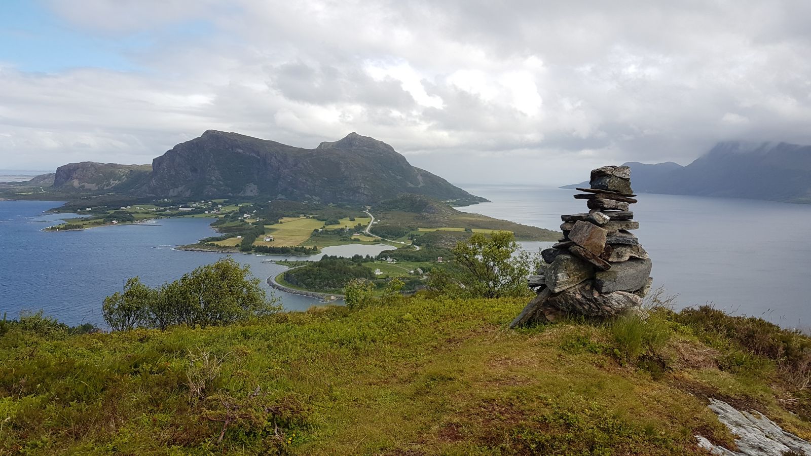
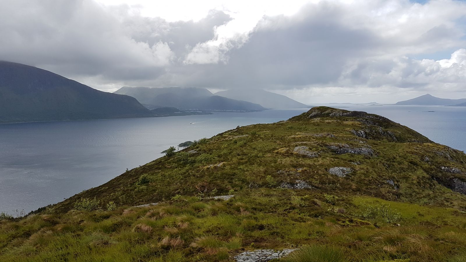
This trail offers a great view out towards the islands and the ocean, as well as other pleasant views of the mainland.
Route description
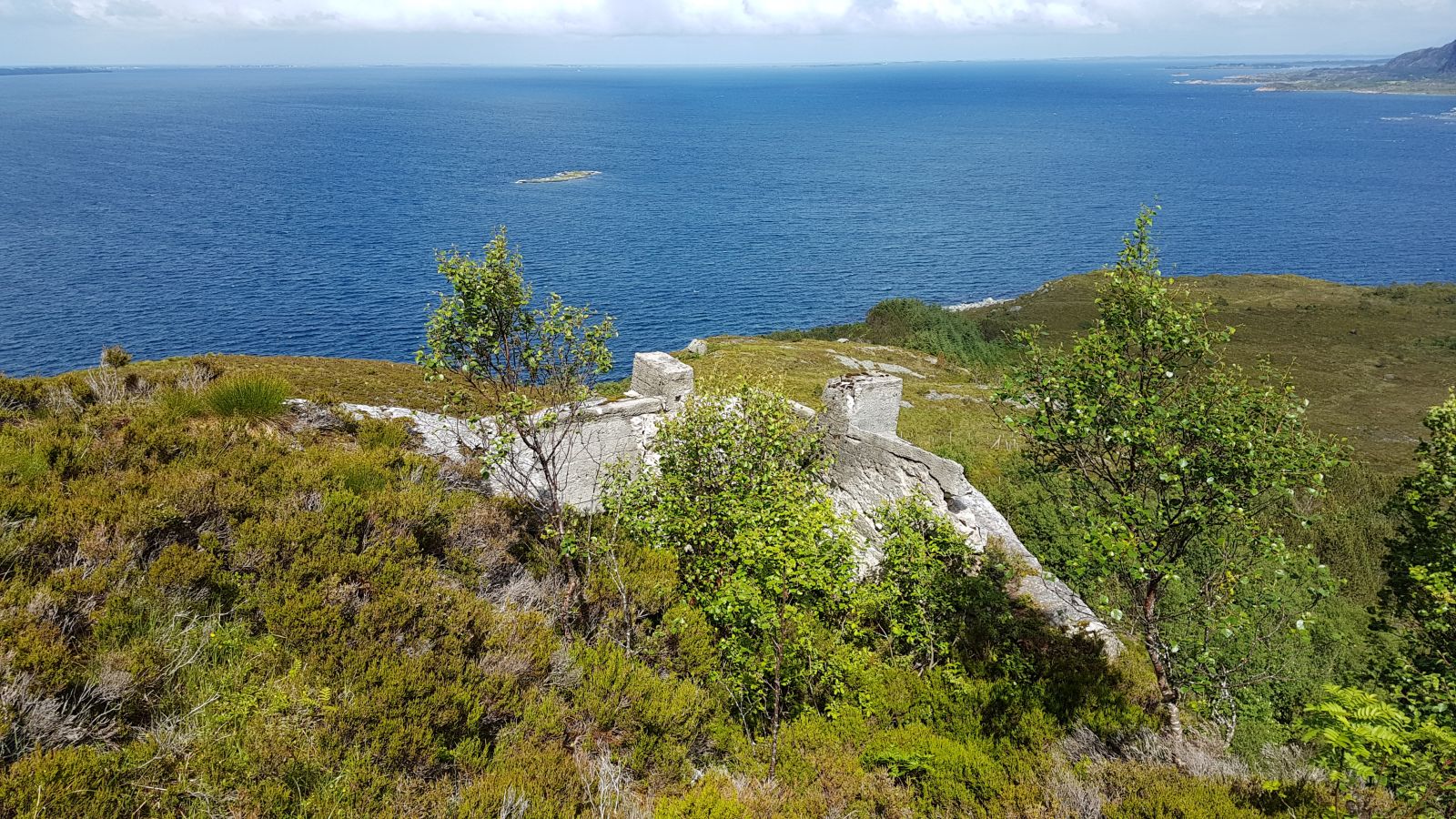
From the ferry terminal, follow the road that leads to the Franskhellaren Cave. At the upper bend in the road, turn off the tractor road and follow the path as it climbs up a small hill. The path splits up soon after, and you need to turn left and follow the path that goes up. The path is more or less clear all the way up along the ridge until it reaches the cairn at the top of Drynjahatten at 200 m a.s.l. Please note that it is very steep on the northern side of the mountain, and some sections of the path go very close to the scarp.
Access and parking
Park your car at the ferry terminal on Dryna Island.