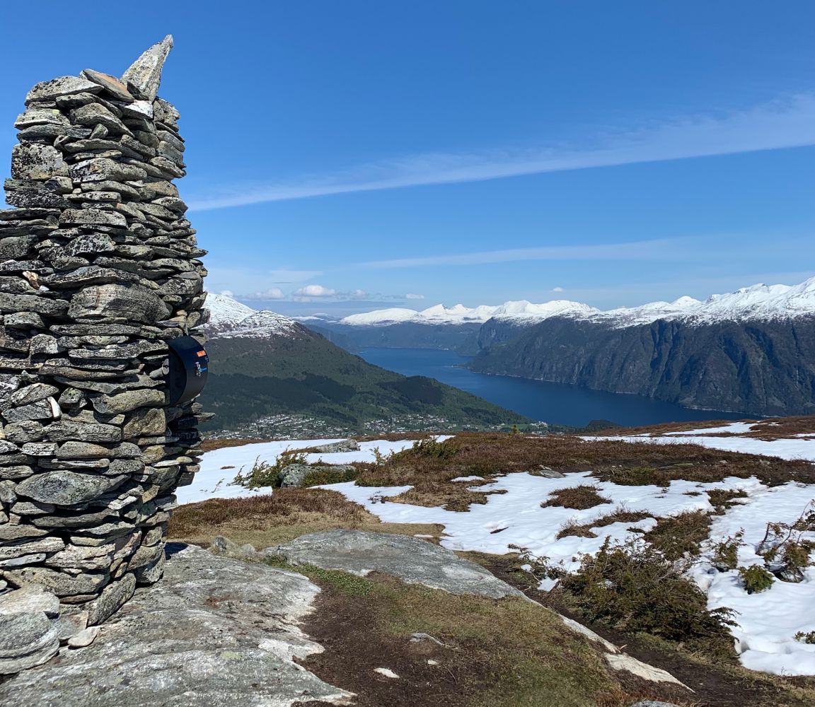
This is a lovely family trail where you get to experience fjords and mountains.
Route description
Start walking from the car park and walk up the first hilltop. Do not turn left at the first sign that reads “Dregetua”, because this is a slightly more challenging trail that goes through a section of spruce forest. Follow the forest road for about 1.6 km. Then walk along the marked path all the way up to the trail destination.
Access and parking
Starting from Stranda ferry terminal, drive up the national road for about 800 m. Turn off to the right in the direction of Opshaugvik. Once you reach a hilltop after about 1 km, drive for about 200 m and turn right. Drive up the hill for about 300 m, turn left and drive up the residential area, take the first turn to the right and follow this road until it ends.
No parking fee applies.
Hiking route
Blue
Distance
4 km one way
Elevation
497 m
Duration
3 t. 15 min.
Sesong
Winter, Spring, Summer, Autumn
Highest Point
679 masl
Signage
Signed
Mobile coverage
Map route
Surface type
Distance
Sti
2,4
Public transport
No
Other
You will walk past a summer mountain farm (Heimerhaugene). In summer you might see cows and sheep grazing in the area.