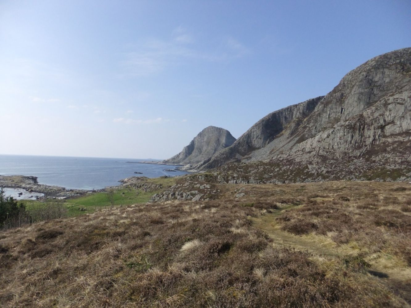
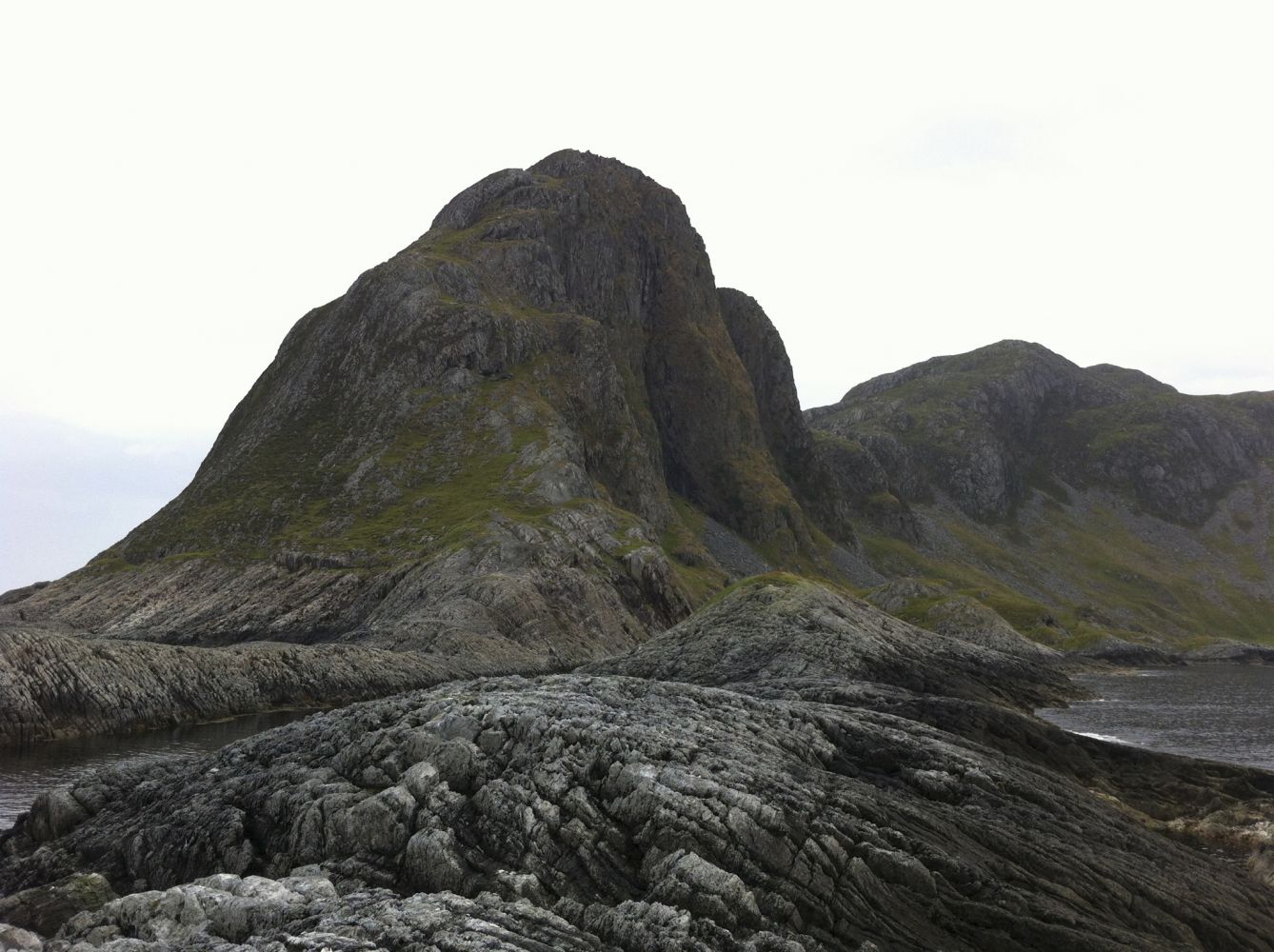
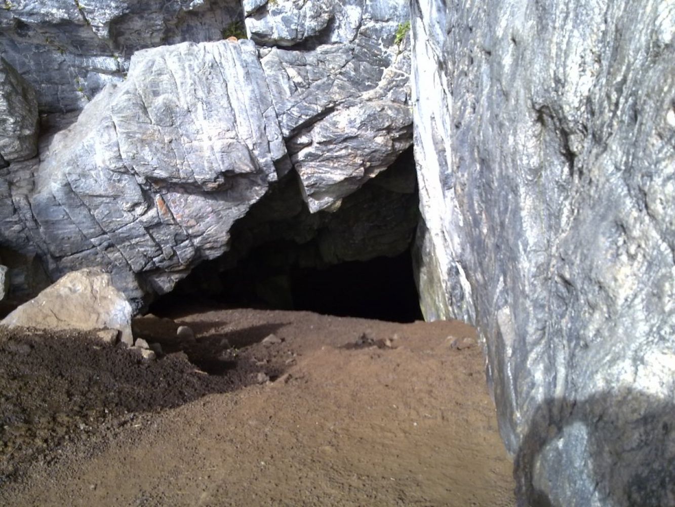
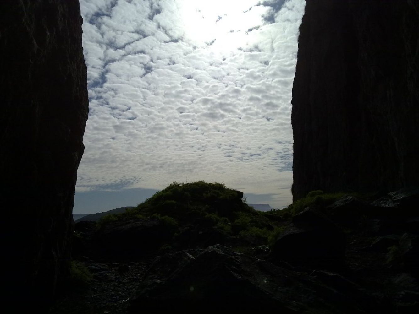
Experience the famous Dollstein Cave, Dollsteinhola! Guided tours of the cave have been arranged in recent years. Located right by the ocean, the cave can be a powerful experience in stormy weather. The trip down the inside of the cave is relatively easy, but to cross the rock-covered slopes one has to climb as well as crawl. Visitors should not suffer from claustrophobia, nor should one need too much space in general. Good/solid footwear is needed as the terrain is rough and at times wet. Due to the crawling, your clothing in general should be suitable for becoming wet and dirty. For those who do not want to go into the cave, this can be a lovely walk along the shore that is accessible to the majority of people. A marked path leads all the way to Steinstangen. From there, you will be able to see the Stad Peninsula in the southwest and Svinøya in the west, and you can glimpse the bird island Runde in the northwest.
Route description
The marked path begins on the right side of the gravel road, about 100 m after the sign in Skarshaugen.
The trail mostly follows the shore but also runs across somewhat rough terrain with rocky patches. It is well marked with sticks and signs. You will pass the following places and attractions on your way to the cave:
0.36 km – a fence; remember to close the gate behind you.
0.65 km – Kalvågane.
0.97 km – Storegjøtten and Lisjegjøtten.
1.07 km – Grytevika.
1.19 km – Flatmagevika and Sandgjøtten.
1.40 km – Breidvika; the slope down to Breidvika is a little steep and can be slippery.
1.87 km – trail journal of the Sandsøy Sport Association (Sandsøy IL); here, you will meet Route 2 from Hellandsvågane, north of Dollsteinen. 2.20 km – Dollsteinhola; the final 150 m long ascent to the entrance of the cave is a little steep but fine to climb.
Access and parking
The trail starts from the farm of Skare. Follow the county road from the Voksa ferry terminal to Sandsøya Island. You will see the sign for Dollsteinhola pointing left at the first junction on your way. Continue driving past Sande Church all the way up until you reach Skarshaugen. Before you come to the car park, there is a sign for Dollsteinhola pointing right, down a gravel road. The trail to Dollsteinhola starts about 100 metres below the sign. Park your car in Skarshaugen.