From Lake Djupvikvatnet to Djupvikhaugen on Gurskøya Island
Herøy
Oppdatert 12.04.2024
The trail at a glance
This is a fairly easy all-season trail that everyone can enjoy. The path is well marked with reflectors, and you can walk here both with a headlamp and with snowshoes when there is enough snow. You will find an old gapahuk shelter with a barbecue place along the way, which you are welcome to use.
Route description
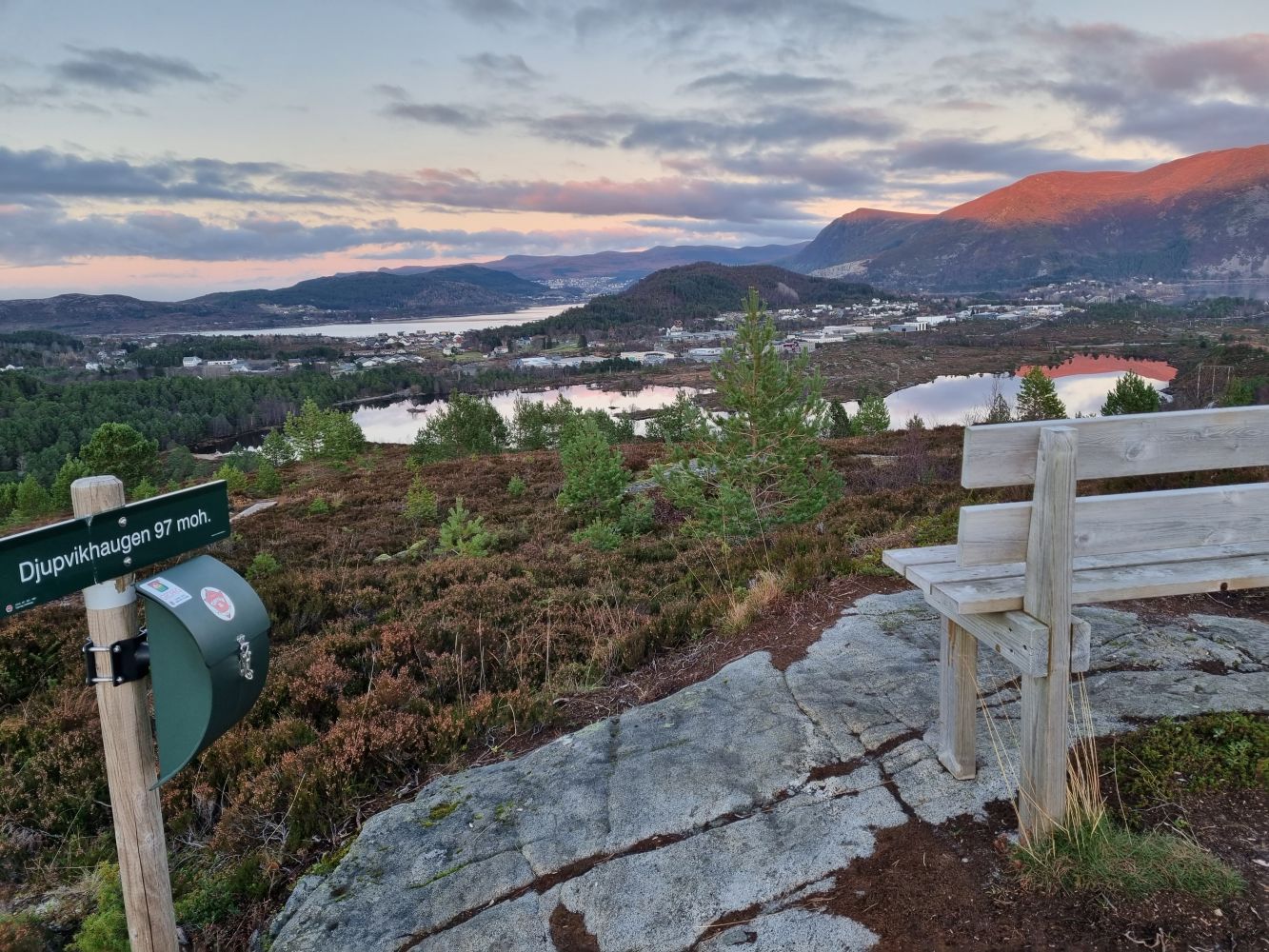
Djupvikvatnet/Djupvikhaugen is a fairly easy trail that can also be used in winter. Begin by following a gravel road for 1.2 km (municipal road). You will pass the hiking trail to Huldrehornet and Rjåhorenet/Huldrehornet. This is where you will walk down if you choose to do a circular hike around Djupvikhaugen. The path to Djupvikhaugen starts at the highest point of the road (Halsen). From here, it is 500 m to the top. You can choose to go up and down here or continue along the circular route.
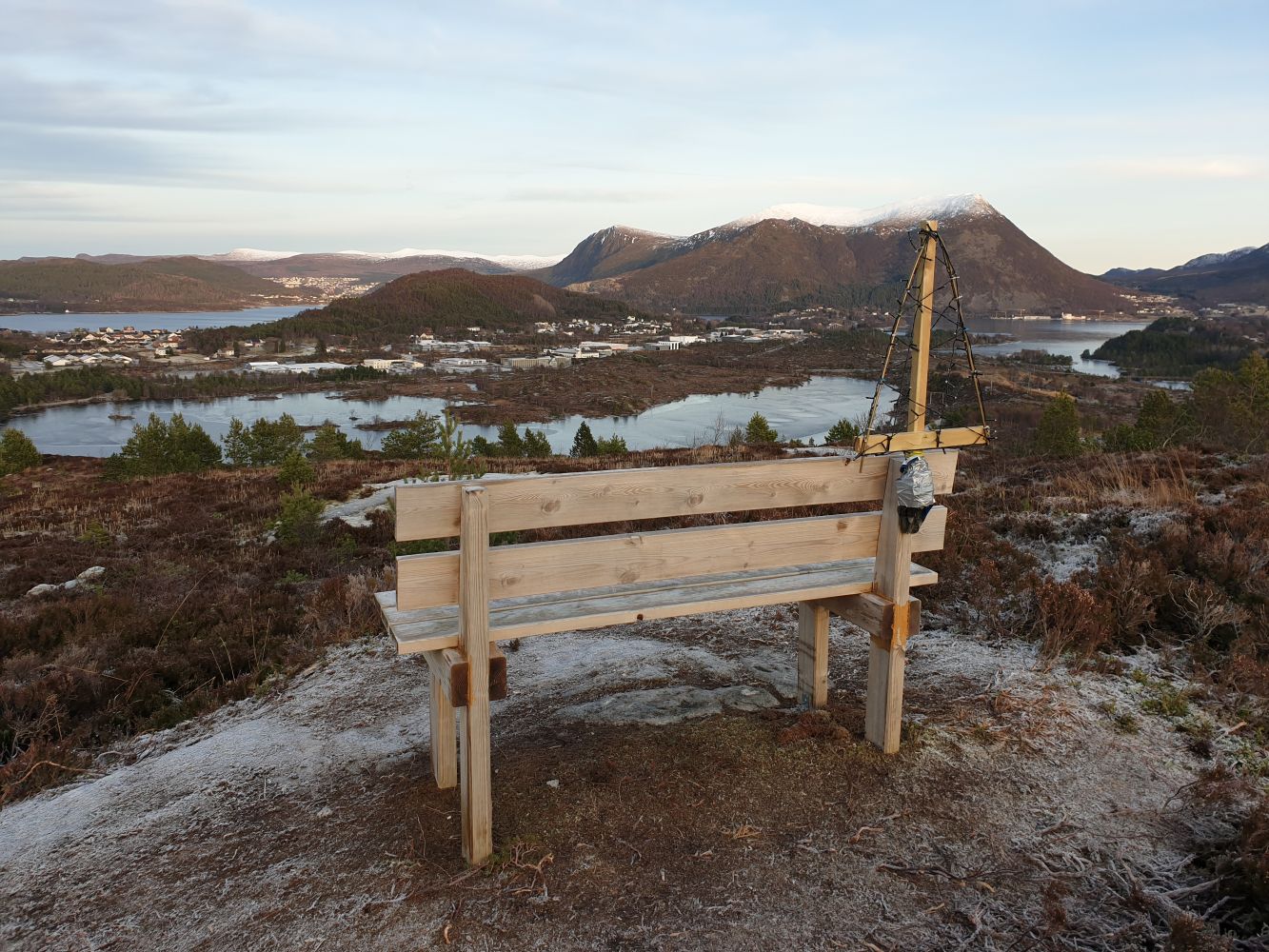
The trail follows a good-quality path with reflective markers. Some sections can be wet or slippery after heavy rain, but there are wooden bridges in many places. There is a bench on the hilltop where you can rest while enjoying a scenic view. You will find the trail codes there too.
This can be a circular route, and you can continue walking after the marked path to come down to the road again after 0.8 km. This path can be wet during rainy periods. Here, you will walk past an old gapahuk shelter with a barbecue place which you are free to use. You will finally meet the path to Rjåhornet/Huldrehornet. Follow the waymarks down to the road.
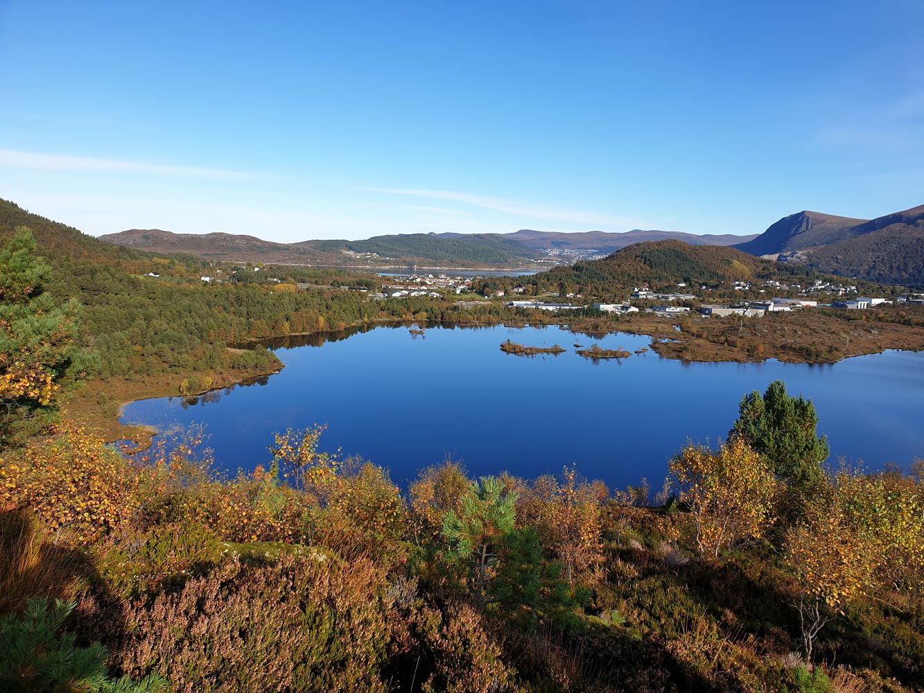
In winter, the gravel road is cleared from snow and gritted by Herøy Municipality, and the path up to Djupvikhaugen is quickly made in the snow. The path to Djupvikhaugen is also suitable for snowshoeing in winter. There are several places along Lake Djupvikvatnet where you can go down to the water. Once you reach “Pemarka”, you will find a bench and a place for a fire, which you are welcome to use.
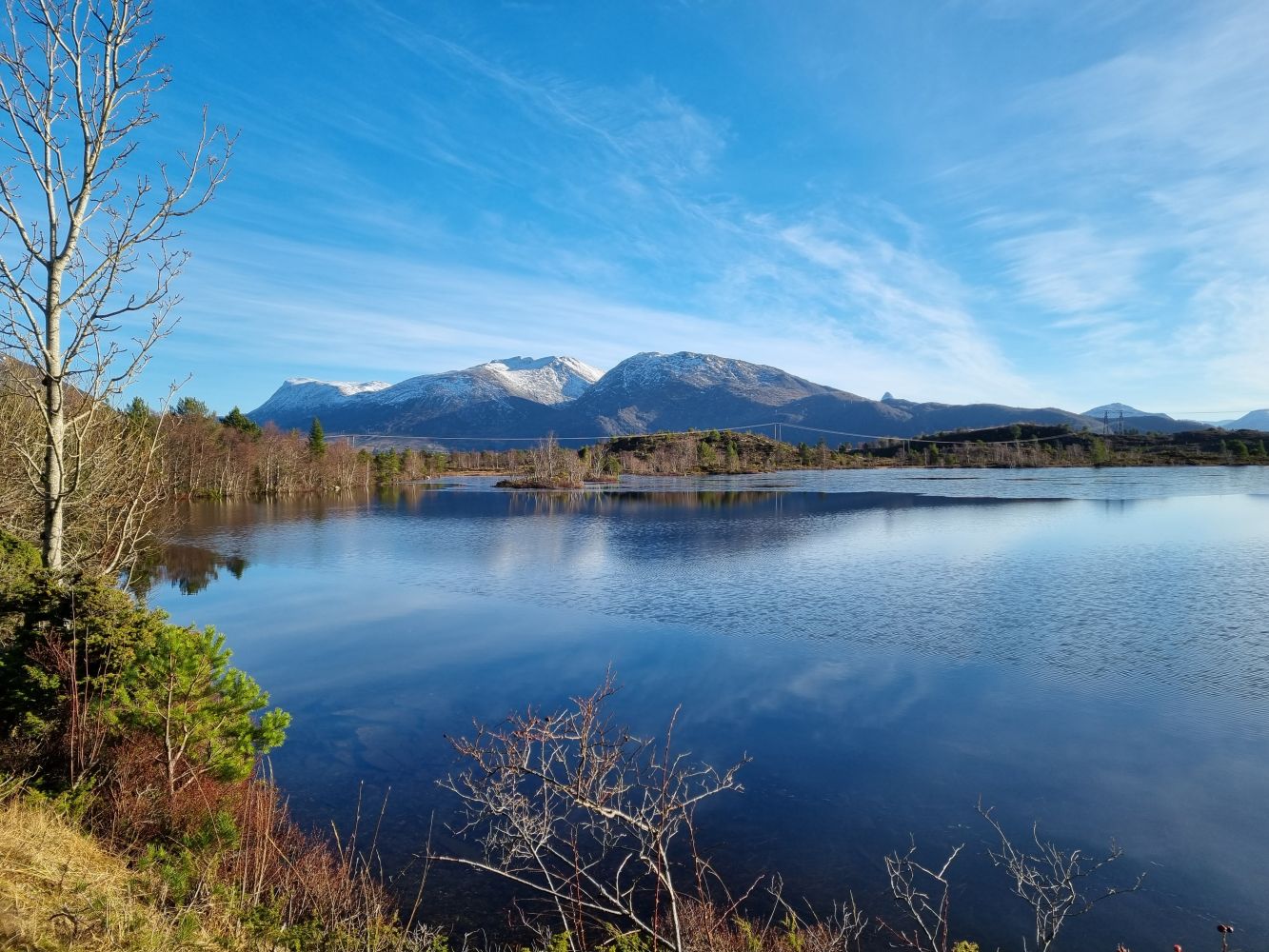
The road along Lake Djupvikvatnet is part of the old transport route between Leikanger and Dragsund. It was constructed in 1869. Djupvikvatnet is one of the few lakes in our region that is located in a populated area but has no buildings close to it. The area is replete with plants, birds, and animals, including some particularly valuable species. The lake is traditionally used for swimming in summer and ice skating in winter (in the eastern end of the lake). Around the place where the path starts climbing up to Huldrehornet, you can see a way marker made of stone. These used to mark different sections of the road, and the inscription contained the name of the person responsible for the maintenance of each section.
Access and parking
Follow County Road 654 (FV654). From Fosnavåg, take the second exit road to the right after the Aurvåg Tunnel, Myrvågvegen. Follow FV654 from Hareid and turn left at the first exit after Kiwi/Pekas on Myrvågvegen Road. You will see a car park on your left-hand side after about 200 m along the exit road. It is marked with a sign.