Buhammaren from Kvitneset
Hareid
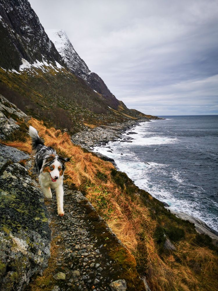
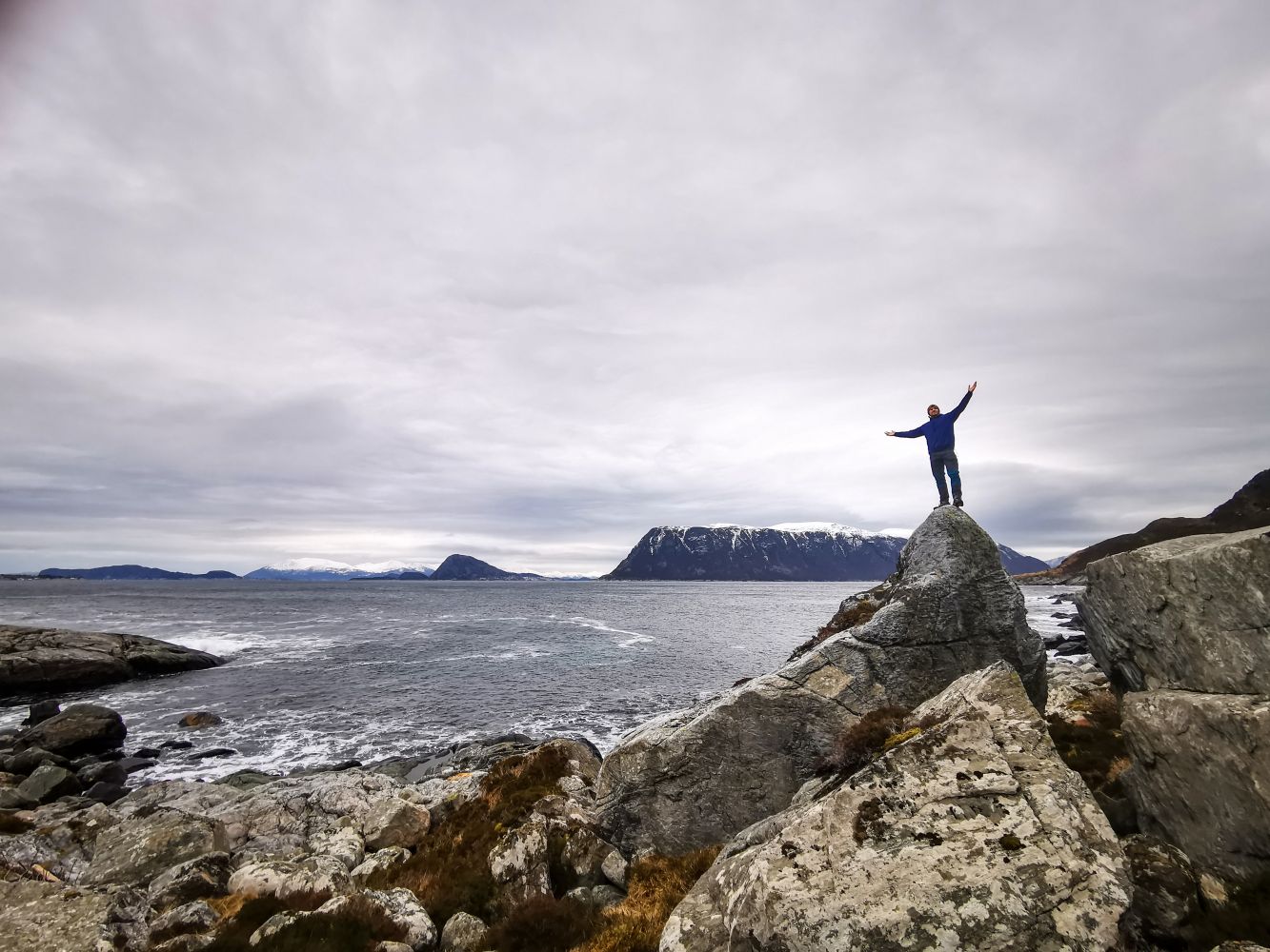
Buhammaren is a great trip in any weather. The trail leads through a stunning landscape along the northern mountainside of Skolma. The trail is marked blue, not because of the elevation, but because the trail has a short section of about 100 metres that may feel steep, as there is a steep slope on one side and a vertical rock wall dropping to the sea on the other. If you love the sea, you will love this hike.
Further down the road from the parking area the road divides in two directions. Take the road on the left. This gradually becomes a distinct path. Follow the path until you come to Buhammaren. The first part of the road is partly dirt and partly cement. If you have a dog, it is wise to keep it on a lead as there is a steep drop to the sea. But the scenery is magnificent. You can smell the sea air and feel how this scenic beauty stirs the soul. Enjoy your hike!
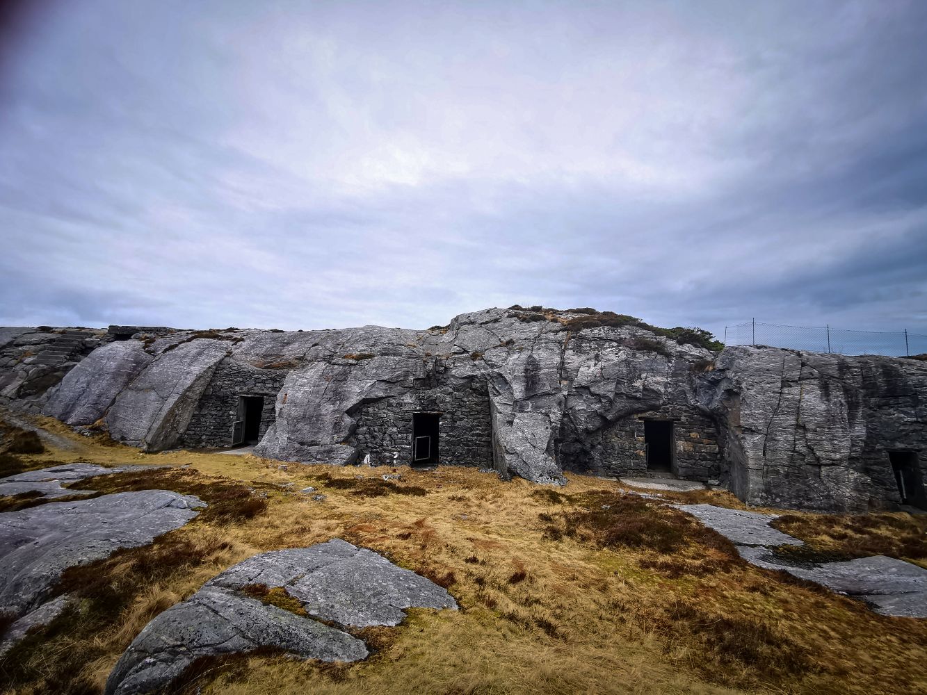
Before and after you hike, you may want to take a stroll around Kvitneset and explore the ruins of the fortress and caves constructed by the Germans during the Second World War. Kvitneset has several grill and campfire pits if you want to have a barbecue and watch the sunset.
NB! There is livestock grazing in the area around Kvitneset all year round, so we urge you to keep your dogs on a lead, even after the end of the statutory season for this.
From Hareid, head towards Brandal. Continue through the village centre and follow the main road to the end, about 6 km. There is parking for about 8-10 cars. The trail starts here.
Duration
1 t. 15 min.

Sesong
Spring, Summer, Autumn
Signage
No signage or markings
| Surface type |
Distance |
| Grus |
0,2 |
| Sti |
1,76 |
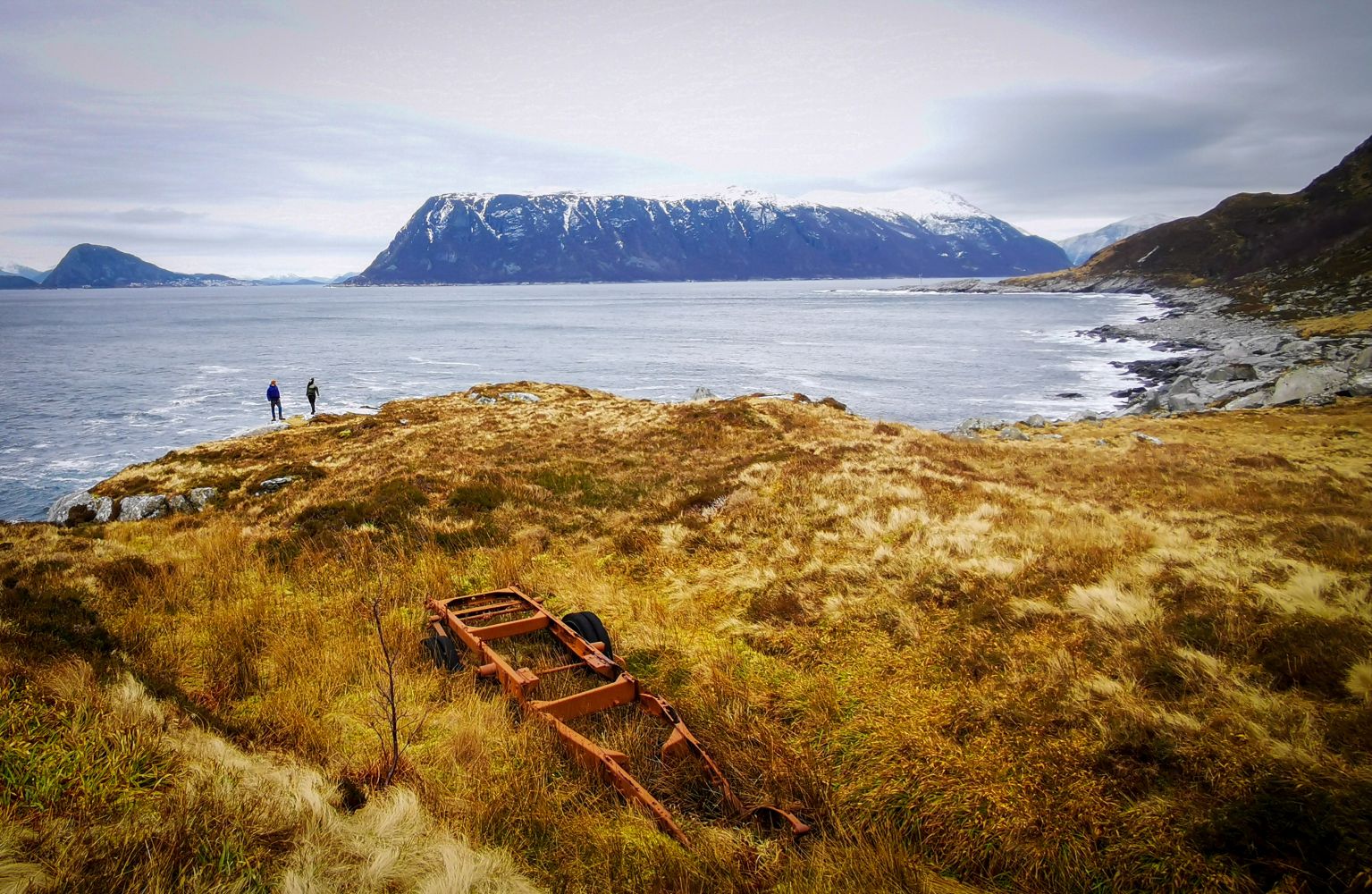
Kvitneset has a rich war history with all its fortifications and caves in the mountainsides. Out at Buhammaren, you can also see the remains of a lorry and wagon from the war era.
 Driving directions
 Route data
GeoJSON
Route data
GeoJSON