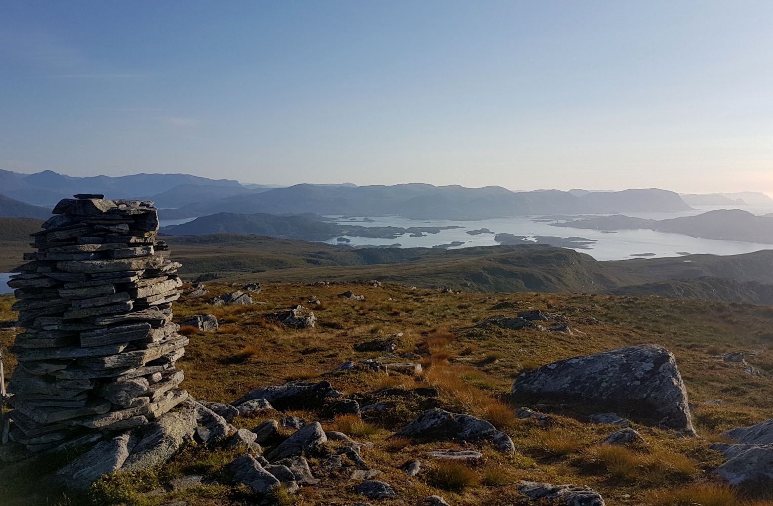
Breidfjellet from Ulsteindalen
Ulstein
This trail takes you to a mountain top with a fantastic view. You will see the ocean in the west, the Sunnmørsalpene mountain range in the east, and islets and islands in the south. The trail follows a road and a path and is easily accessible.
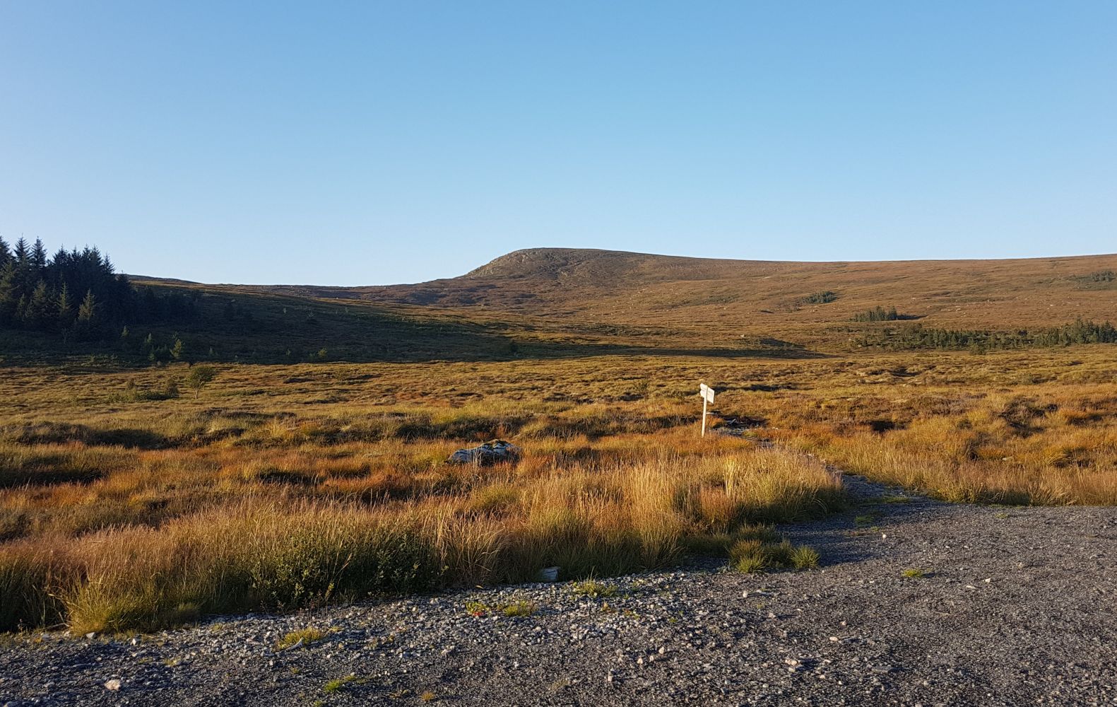
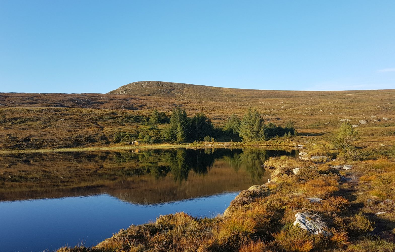
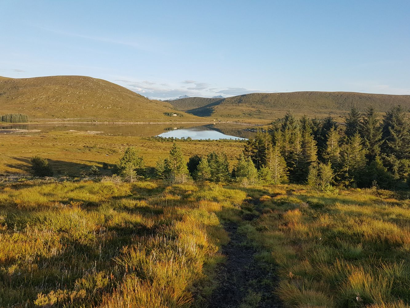
Start walking from the power station in Ulsteindalen. Follow the road for about 1.3 km until you reach Lake Lisjevatnet. It will be slightly steep near the start, but the road flattens out as you approach the lake. Once the road ends, take the path to the left that goes north. You will see the signs for Roppehornet and Breidfjellet. The path covers some wet terrain, but there are planks of wood and stones to step on. Although you will probably not get your feet completely wet, we still recommended wearing waterproof shoes. You will walk past two cabins on your way: one in a small forest just after the start, and the other one next to a pond, Kjellstjørna. The path goes along the northern side of the pond. Once you reach the end of the lake, walk over the bridge across the river. Follow the path straight ahead up a small hill. Do not turn right towards the cabin. Follow the path further to the top. At the height of 435 m a.s.l. (N62° 22.972' E5° 52.229'), you will come across a path that goes from Mount Roppehornet. From here on, the path gradually ascends to the top.The path is clearly visible. It ascends slightly in the beginning, then flattens out on the way to Kjellstjørna, and goes up more steeply along the final section towards the top.
Turn off National Road 61 (RV61) towards the centre of Ulsteinvik. Drive west along Sjøgata Street through the centre in the direction of Flø. Turn onto Fløvegen Road in the direction of Flø. Drive for about 2.5 km. After you pass Skeide, you will soon come to a place where you are supposed to turn off the main road. Turn off before the chapel that you will see on the lower side of the road. Drive up the Ulsteindalen Valley for just over 1 km until you reach a power station. This is where you can park your car and start the hike.
You can park your car next to the power station where the road ends.
Distance
6,84 km both ways
Duration
2 t 30 min

Sesong
Spring, Summer, Autumn
| Surface type |
Distance |
| Grus |
2,6 |
| Sti |
4,2 |
For bus route to Flø, please check: frammr.no
It is also nice to cycle to the starting point.
You can take other trails to Lake Litlevatnet. Mørdarebakken, a new hiking trail to Lake Mosvatnet, can be a great alternative. You can follow a road that goes along the southern side of Lake Litlevatnet until the point where the path starts.
 Driving directions
 Route data
GeoJSON
Route data
GeoJSON