This amazing loop in Brandansfjell will take you up to three peaks, each of which is unique. You can hike from peak to peak through stunning, untouched nature. This can be done as a day hike, but it is also a good idea to add one night in a tent or take a few detours to viewpoints and swimming spots.
Route description
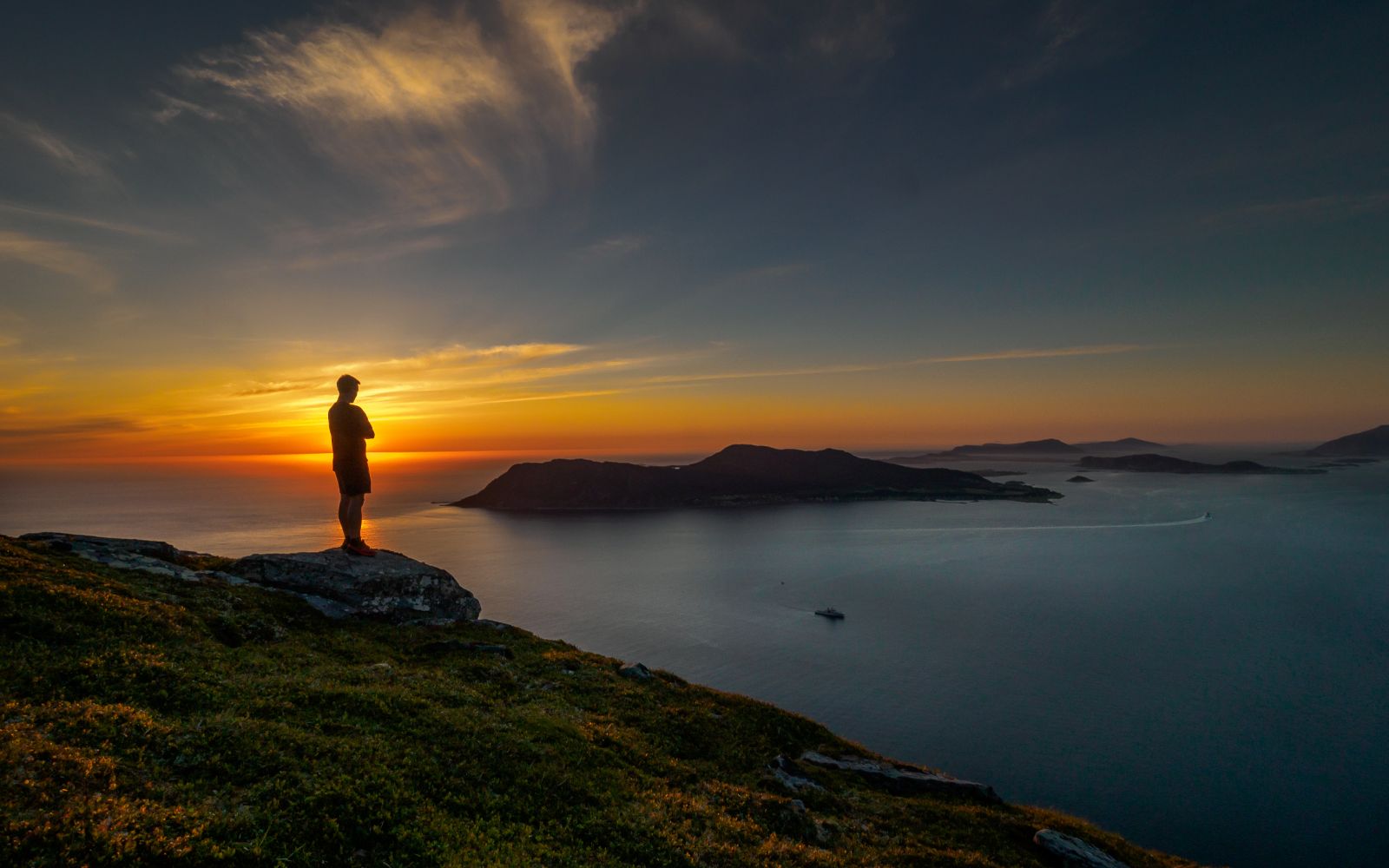
The route starts at Haugen in Ytredalen. Follow the forest road along the river. Once you come up the hill of Setrebakkan, leave the road and follow the marked path until you reach Setra. From here, turn right and follow the marked path towards the north. You have now come up from the valley and will begin to see views of the fjord and mountains. Eventually, you will see Grøthornet to the right of the path, after which you will spot Skolma. Once you have crossed the river, you will also see Signalhornet to your left. Continue on the path in the direction of Skolma. Grøthornvatnet Lake will be to your right. A little further up, you can turn around to get a great view of Ålesund and Nordøyane islands. From the top of Skolma you will have beautiful views of the ocean. Will you dare to walk out to the edge and look down at the sea?
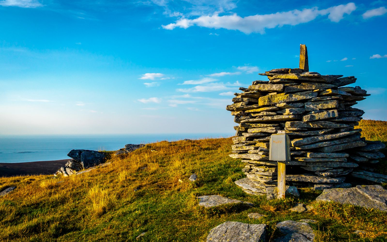
To get to Signalhornet, walk a few hundred metres towards Grøthornvatnet. There you will see a path leading from Signalhornet. Take the path to the right and head down into the valley before following the path up a steep hill. Once you get up the hill and the incline is less steep, veer to the right about 50 metres and follow the path to the peak of Signalhornet. Here you will have surprisingly scenic views and find an impressive cairn.
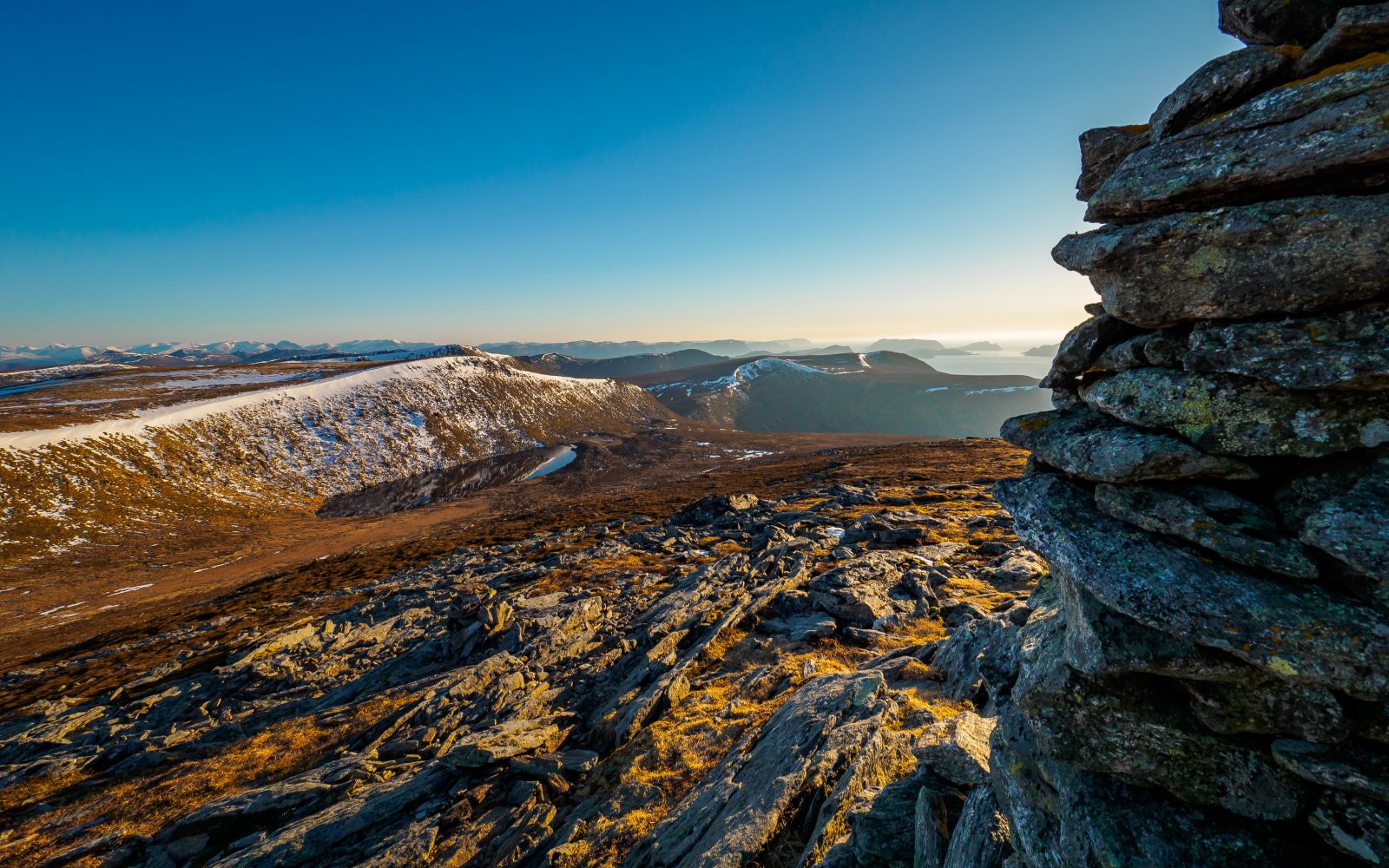
The path to Sneldelida leads in a southwesterly direction from Signalhornet. Follow the path until you reach Rjupedalsmunnen. The route then continues up to Sneldelida. Up at the top, you will see a cairn. Follow the ridge in a southwest direction until you reach Sneldelidhornet.
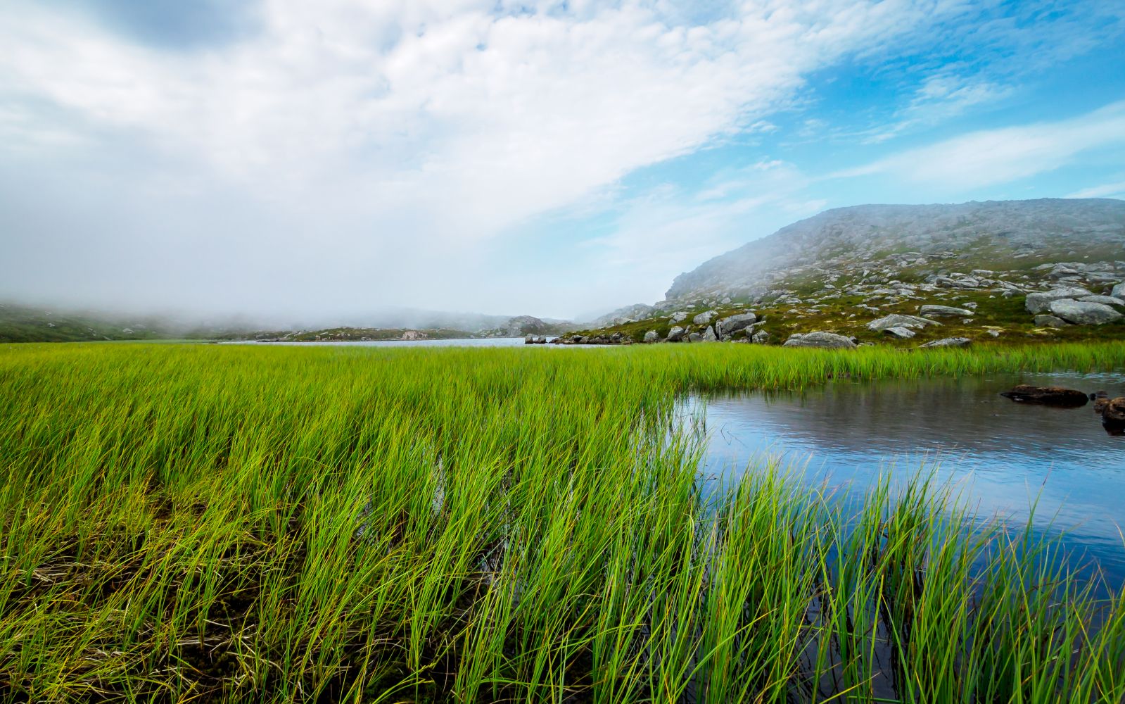
The route to Brandal leads over Lågheia (pronounced "Loggeide"). From Sneldelidhornet, follow the trail for about a kilometre until it branches into two paths. Follow the second sign to the right. The path is easy to spot, and continues down the Sneldelidbakkane hills and over Lågheia. Once you get down to a large area of vegetation below, the path swings to the right. Follow the path until you reach "Øvste Kvilet". Turn left and head down over Blikhaugane. When you come to a crossing path, keep right and follow the stony path down to Legegarden. From there, follow the road back to where you parked your car.
Access and parking
Plenty of parking in Ytredalen on the right side of the road on the way up. NB: ensure good access. You can also hike the trail in the opposite direction and find parking in Indradalen.