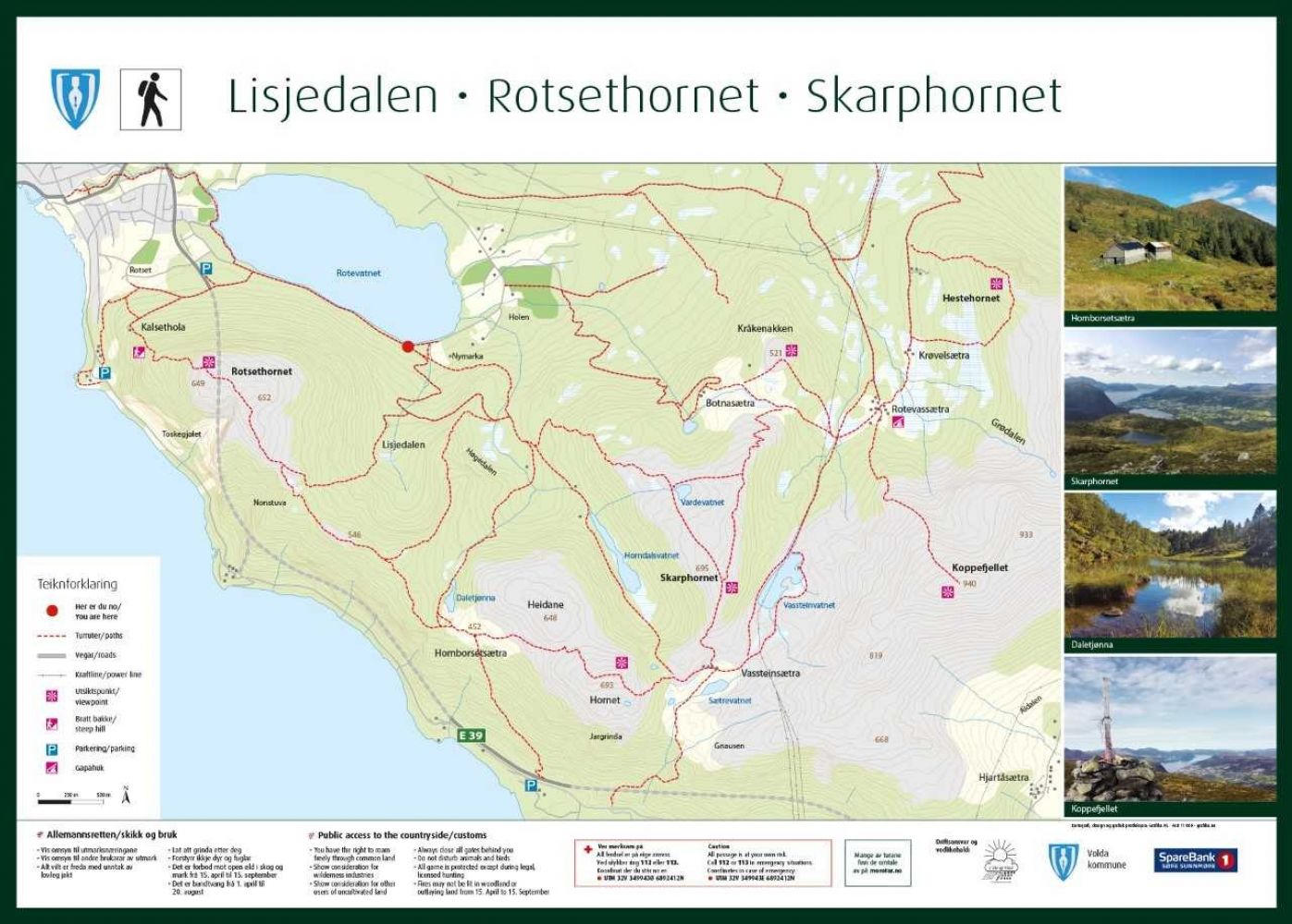
Botnasætra – Skarphornet – Høgedalen
Volda
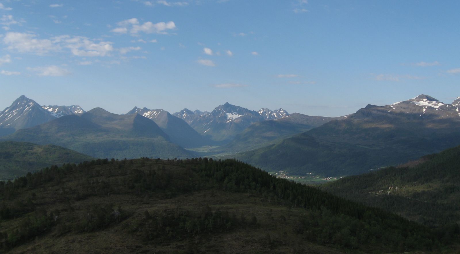
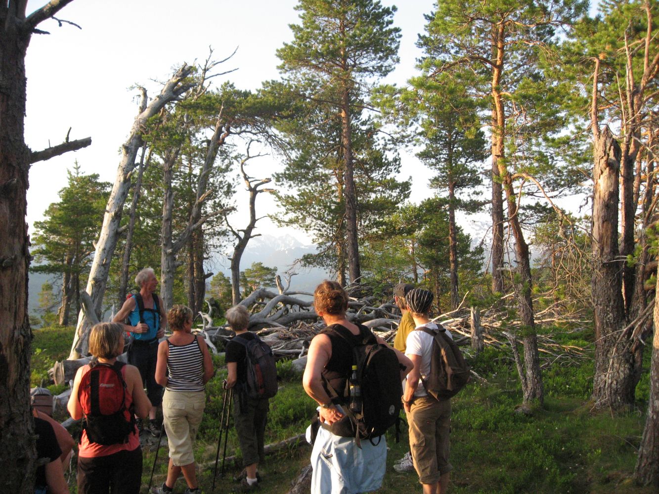
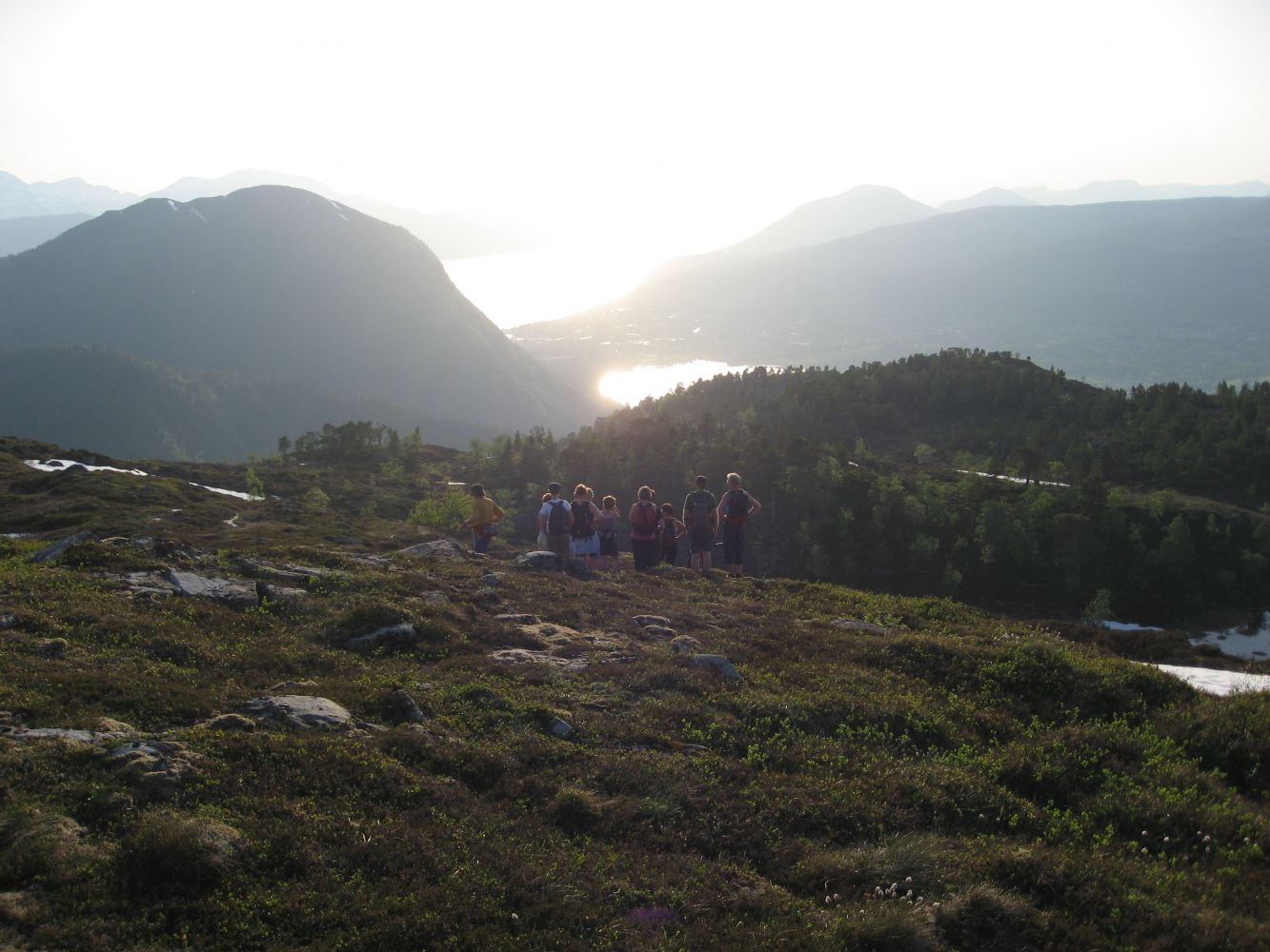
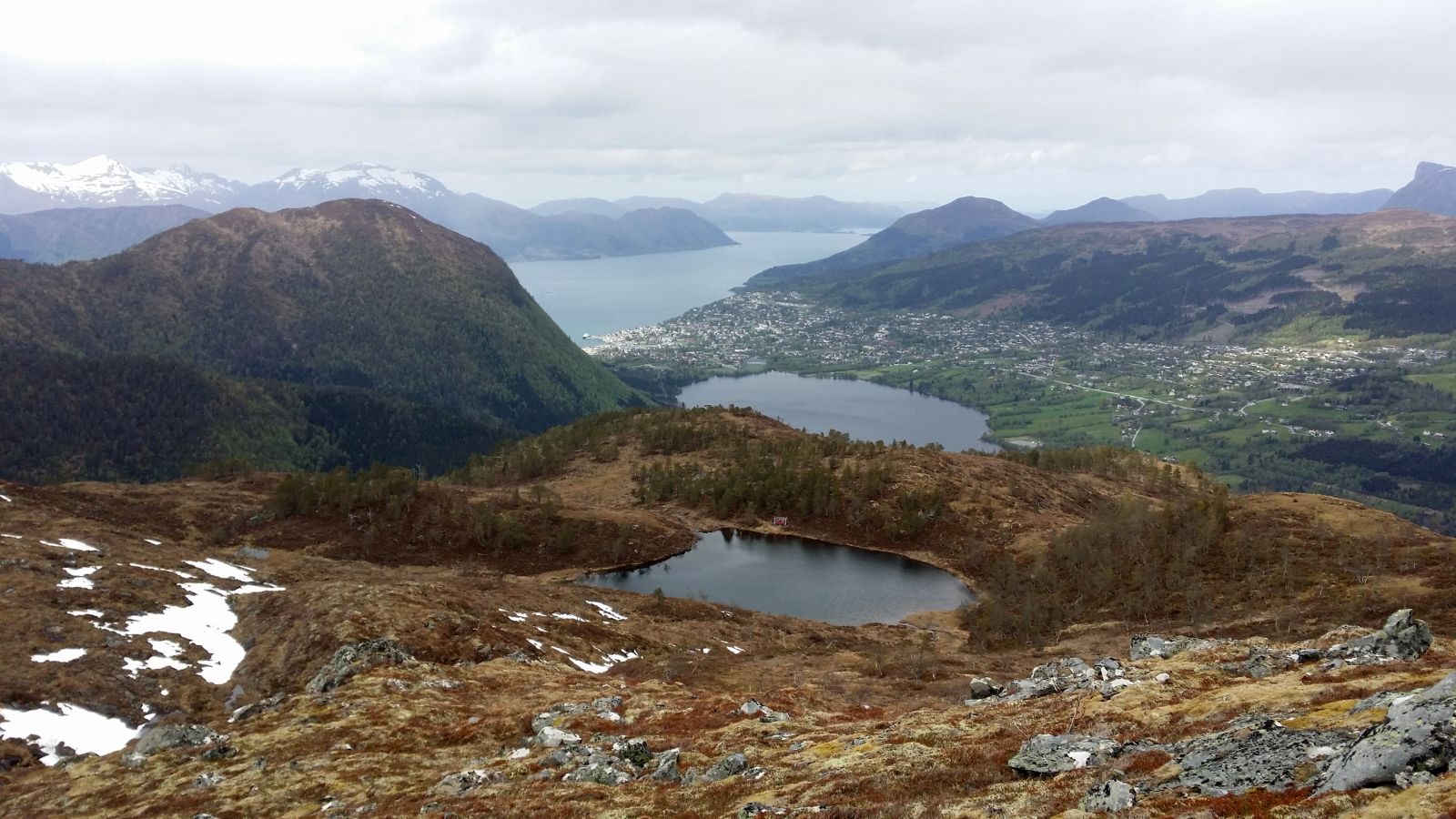
This trail is described with the starting point at the mountain farm Botnasætra. You can take a circular route in this peaceful and diverse hiking area if you walk from Botnasætra to Skarphornet and down to the Høgedalen Valley. From Botnasætra, you will follow a mountain ridge with a view of Volda. You will then walk through a beautiful pine forest, and you can later take a dip in Lake Rotevatnet.
You will find a viewing point and a stone table with a trail postbox at Botnasætra. If you stand with your back to Volda, take the path on your right just before the trail postbox. Look for the waymarks. Follow the path for 300–400 m in the direction of Rotevassætra. From there, walk south along the ridge, which will be up on your right if you stand with your back to Volda. There is no path here, but the route is marked with poles. It may be a bit hard to walk through this marshy area, but it will improve as you walk further. Once you are up on the ridge, you will find a path which is easy to follow. Skarphornet is the last summit you reach on this hike and a perfect spot for taking a break to enjoy the view. From here, walk west in the direction of Volda until you reach a small lake, Vardevatnet. Follow the path that you will find behind a small cabin by the lake and move slightly to the right. You will then find a path that is clearly defined almost the entire time. You will see an old pine tree where the path goes down to the Høgedalen Valley. The path is clearly defined from here down to the Høgedalen Valley. After a while, you will reach a forest road. Follow this road down to Lake Rotevatnet. The route is marked with poles and red sticks in the trees.
Duration
4 t. 30 min.

| Surface type |
Distance |
| Sti |
5,5 |
The hike from Lake Rotevatnet up to the mountain farm Botnasætra is about 2.5 km long and has an elevation of 395 m a.s.l.
The entire hike from Lake Rotevatnet via Botnasætra, Skarphornet, and down via the Høgedalen Valley is about 8.5 km long and has a total elevation of about 670 m a.s.l.
Local hiking map of Volda
 Driving directions
 Route data
GeoJSON
Route data
GeoJSON