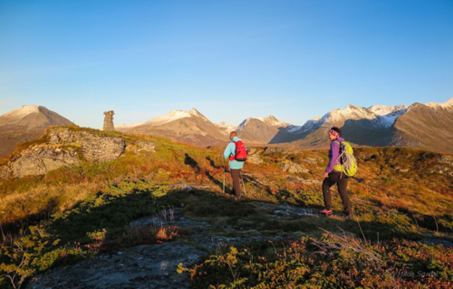
This lovely hike through open terrain offers a great view of both the Vaksvikfjellet area with the Skorkja mountains and the mountains of the Stordalen Valley along with the Sunnmørsalpene mountain range.
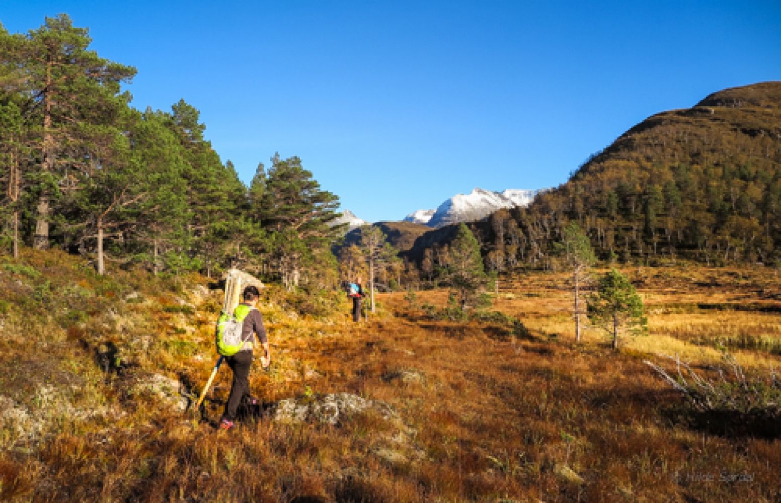
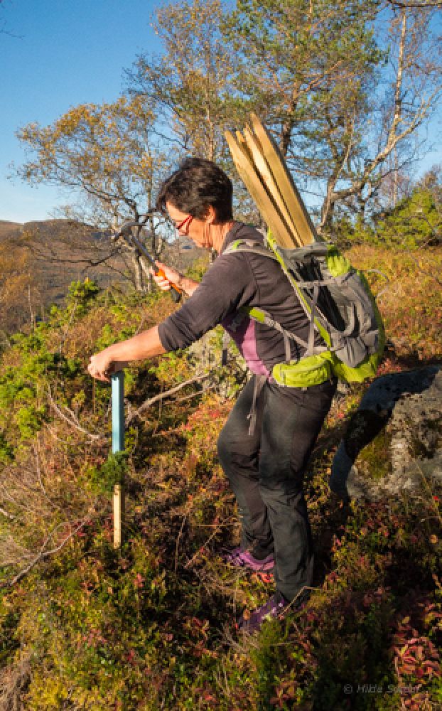
Walk up the gravel road to Visetsetra. Follow the signposted and marked path past the farmhouse right in front of you and continue up an old old forest road which changes to a path as it takes you through a birch and a sparse pine forest. You will soon come up to a marsh. Keep to the left and hold on to the path along the edge of the marsh before crossing the marsh by following the waymarks and planked footpaths. The path here is in poor condition, but it is marked as it goes up to the right following the mountain ridge. Follow the marked path up through the forest. There are plenty of deer trails in the area, so please pay attention to the markings. As you approach a flatter area closer to the top, you will walk through a beautiful birch forest. This is a perfect moment to take a break after the climbing and enjoy the view. You can now see the mountain top right in front of you. The path swings to the right, and there is a short section where you follow quite a steep slope until you reach the mountain gap and the electrical transmission towers. Please be careful if the snow still remains in the area. Once you reach the ridge, the path takes a sharp left turn. Follow this path up to the area at the top. The path flattens out from here, and you will soon see an impressive cairn at the top of Mount Bolleberget.
Turn left from National Road 650 (RV650) just after the road takes a sharp turn over the river in Vaksvika. Follow the road until you pass a large barn on your left. You will come across a toll road. Drive further towards Visetsetra. There are several parking spaces where the road up to the mountain farm begins. Park your car here and walk up the hill.
Duration
2 t. 20 min.

Sesong
Spring, Summer, Autumn
Signage
Both signed and marked
| Surface type |
Distance |
| Sti |
5,6 |
Please pay attention to snow conditions in spring, especially on the steep slope before the ridge that leads to the mountain top.
 Driving directions
 Route data
GeoJSON
Route data
GeoJSON