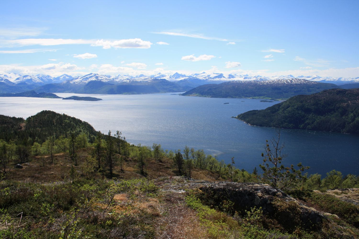
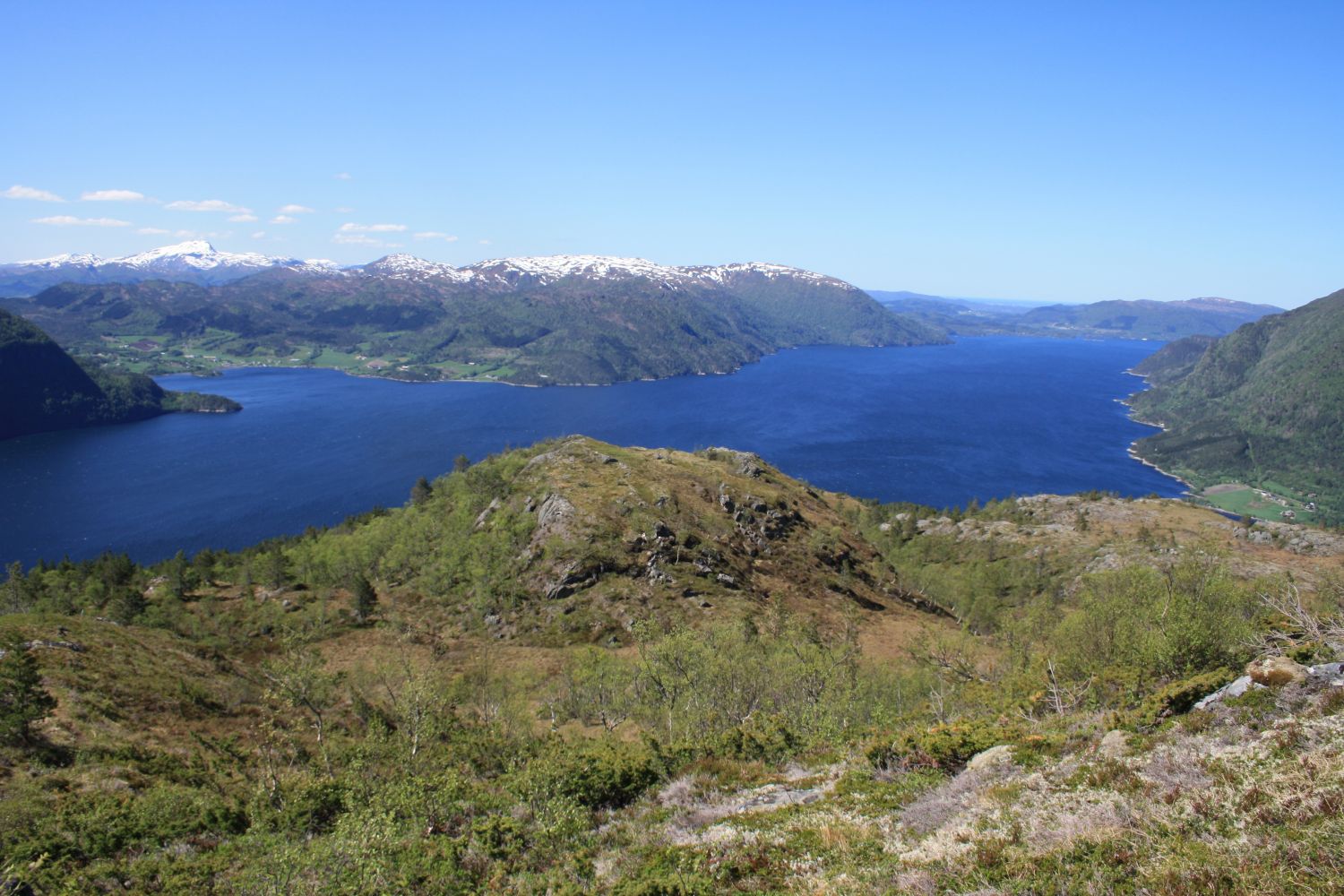
The top of Mount lies at 703 m a.s.l. and offers a magnificent view in all directions. The trail uphill is steep, but you will get to great view points quite quickly, which will make you feel like you are climbing fast. You will primarily follow a forest roads and a dry solid path. We recommend making the final section into a loop trail through the Bøvardane view point.
Start walking from the car park on the right side of the road in Orahaugen. You will also find information boards here with descriptions of hiking trails in the area. Walk up the forest road that starts on the upper side of the road. Follow it until it starts to flatten out on the hillside. Walk onto a path at the upper side of the road. From here, follow the path up to the top of Bølia.
Drive from Settemsdalen down towards Bøfjorden. Turn left at the junction in Settem and continue further across the Bøbrua bridge to Bølandet. Once the road comes down to the sea and you drive past a grocery store on your right-hand side, take the left turn onto Bøkleppvegen Road and keep driving until you reach Orahaugen. You will see a large car park on your right where you can park your car.
Free parking.
Duration
3 t. 25 min.

Signage
Both signed and marked
| Surface type |
Distance |
| Sti |
3,5 |
Fjordruta, Surnadal hiking map
 Driving directions
 Route data
GeoJSON
Route data
GeoJSON