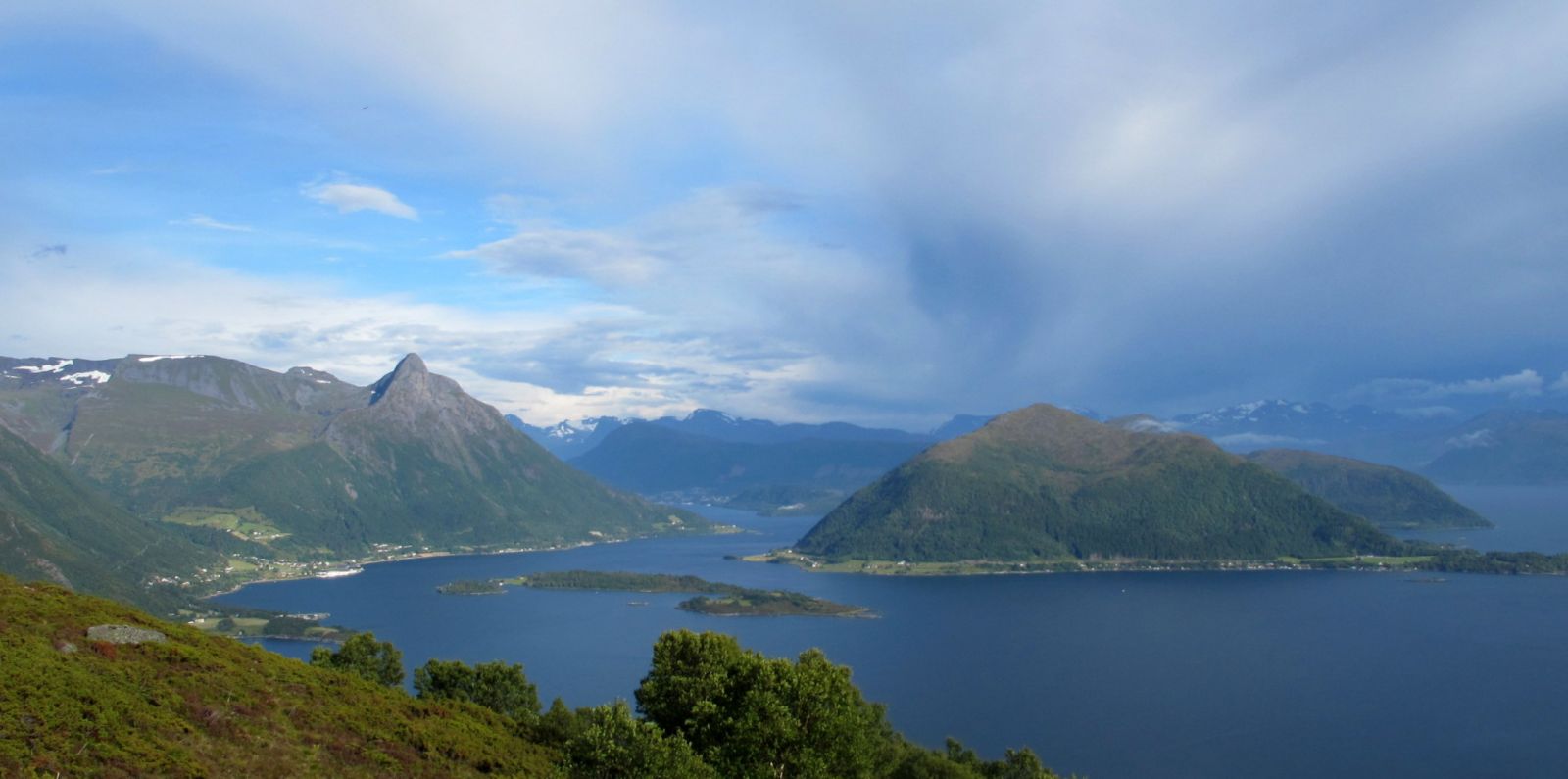
Blåtind (697 m a.s.l.) is the highest mountain top on the island of Hareidlandet. There are several paths that can take you up to the top such as the one from Haddal or Lake Løsetvatnet. The route described here starts in Eiksund. After walking through a forest, you will come up to a bear mountain area with a fantastic view of several fjords: Voldafjorden, Ørstafjorden, Rovdefjorden, and Vartdalsfjorden. You will also get a view of the Sunnmørsalpene mountain range and once you come to the top, a beautiful view of the islands in the Ytre Søre Sunnmøre area. You will get to see Sunnmøre at its best with fjords, mountains, islands, and the ocean!
Route description
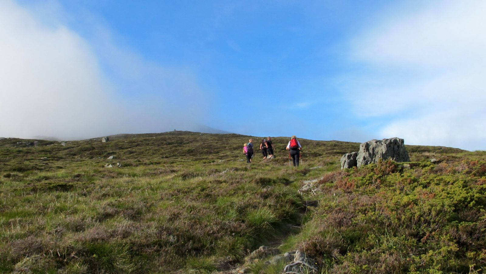
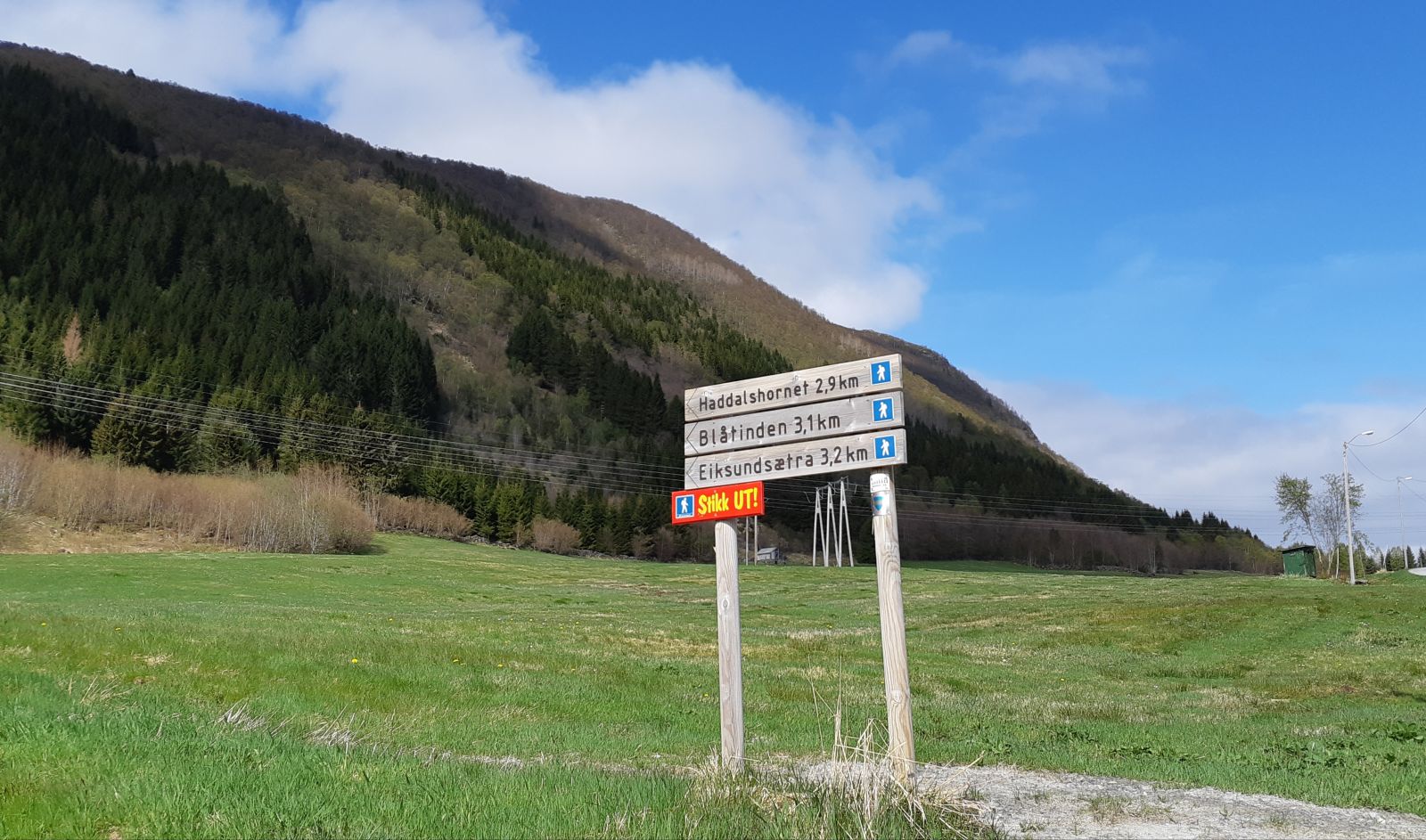
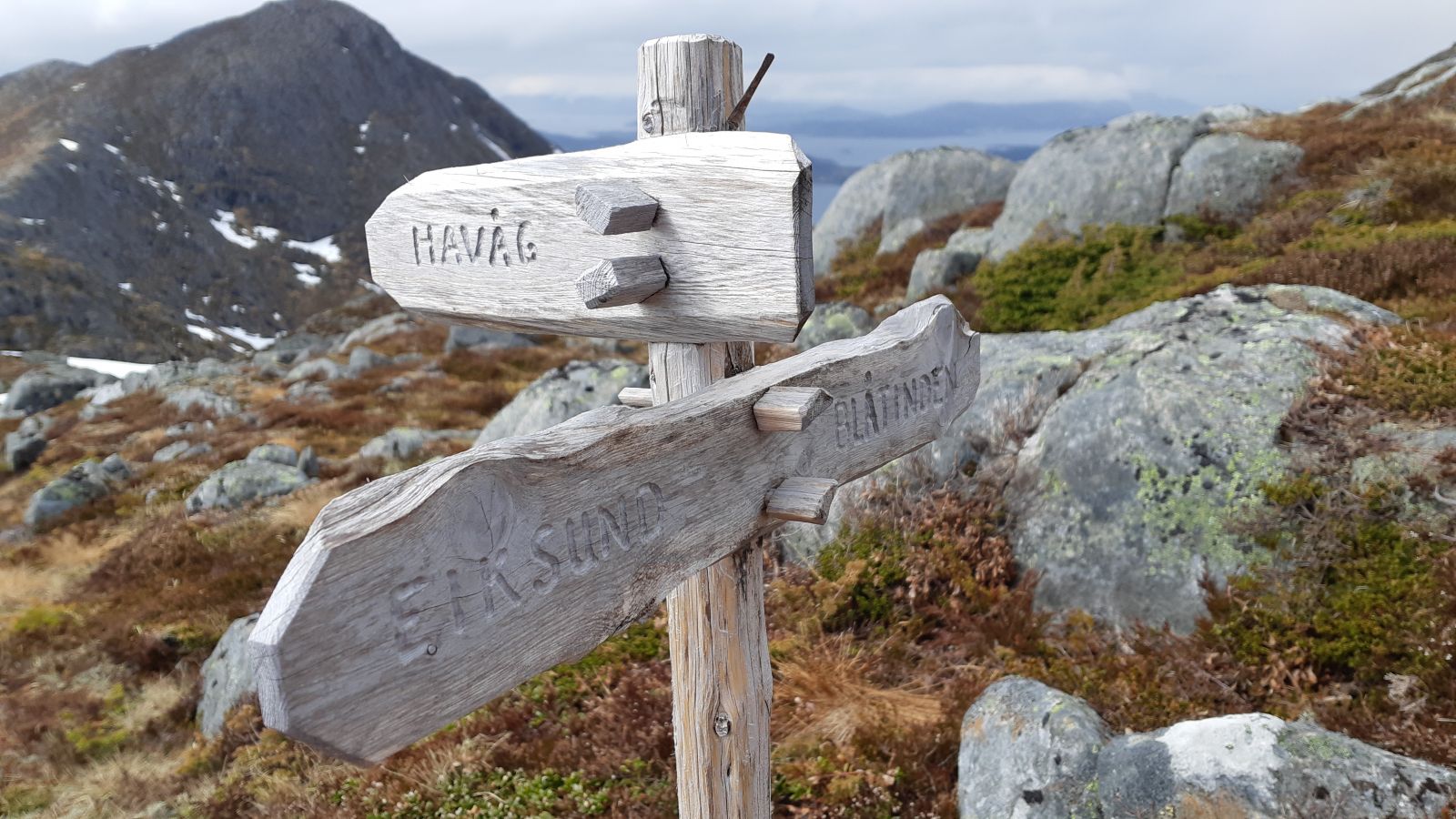
Start walking from the Eiksund water plant (please see the photos). The path is well defined, but it may not be clearly seen in the beginning because of some tall grass. Follow this path all the way to the top. The trail is gradually ascending along the entire way. After you come out of the forest, you will walk on a bare mountain surface for the remaining part of the trail and enjoy great views of the nature of Sunnmøre. There is a split in the path before Mount Grøthornet. The path that is marked with poles leads to Eiksundætra. The trail to Mount Blåtinden climbs up to the left, and that is the one that you need to follow. You will see cairns marking the path as you approach the top. If you are hiking as a group, why not take a different route back down and enjoy a nice loop trail? The trail described here suggests going back the same way as you came up. The trail is described in the book “Fotturar på Sunnmøre” (Eng. “Hiking Trails in Sunnmøre”).
Access and parking
From Volda/Ørsta: Follow E39 until you reach a roundabout in Furene. Turn off in the direction of Ulsteinvik and drive through the Eiksund Tunnel (RV653). Turn right just after the Eiksund Bridge, drive towards the old ferry terminal and take a sharp turn to the left. You will come to a junction with a gravel road straight ahead. Follow this gravel road for a short while until you come to the Eiksund water plant. There are some parking spaces here.
From Hareid/Ulsteinvik/Herøy area: Drive in the direction of Volda/Ørsta (RV653) and turn off towards the old ferry terminal in Eiksund just before the Eiksund Bridge.
Hiking route
Blue
Distance
6,1 km both ways
Elevation
663 m
Duration
3 t
Sesong
Spring, Summer, Autumn
Highest Point
696 masl
Signage
Both signed and marked
Map route
Surface type
Distance
Sti
6,1
Public transport
You can take a bus to Eiksund: http://www.frammr.no/
The Eiksund water plant is within walking distance from the bus stop by the Eiksund Bridge.