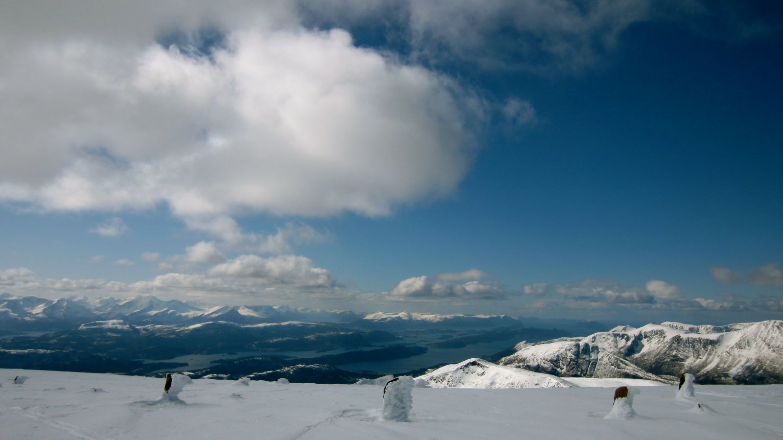
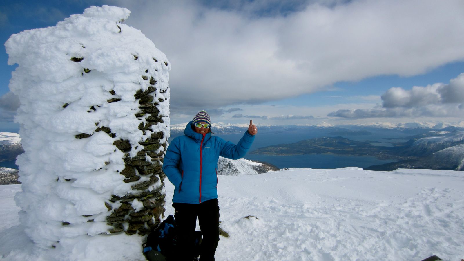
The mountaintop Blåskjerdingen lies on the border of the former Haram Municipality and Vestnes Municipality. A gap splits the mountaintop in two – a small peak at 1069 m a.s.l. in the north and an elongated plateau at 1062 m a.s.l. in the south. The mountain lies near the ocean and is surrounded by lower peaks, which creates a fantastic view from the top. The view of the Romsdalen Valley, Nordmøre, and Sunnmøre is magnificent!
The trail starts from Reset. Move to the left of the marked edge of Mount Lilleskjerdingen. Ski around Lilleskjerdingen and continue along the right side of the valley. Climb up to a plateau and keep to the right aiming for the clearly visible stream bed. Follow this stream bed and then the ridge that leads up towards the top ridge of Mount Blåskjerdingen. Follow that final ridge until you reach the large flat plateau at the top. Follow the same route back. Beware of the snow cornice at the mountaintop.
From the north: drive to Fiksdal and turn off towards Vatne. Continue straight ahead for 7 km until you reach Reset at the highest point of the road. Leave your car at the car park on the left side of the road. From the south: turn off the main road in Vatne and follow FV147 to Reset.
Leave your car at the large car park along the county road.
Skiing route
Blue topptur
Duration
3 t. 5 min

Hiking map Ørskogfjellet or Map Series 711 Sheet 1220 II Vestnes
 Driving directions
 Route data
GeoJSON
Route data
GeoJSON