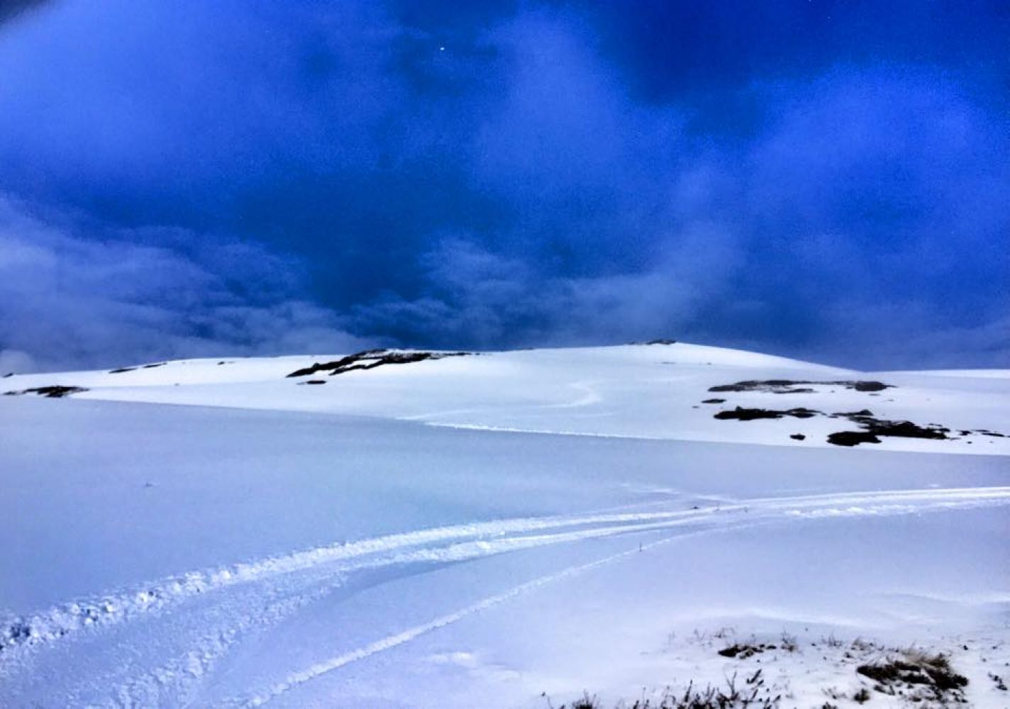
This is a short ski trip to the mountaintop. The slope is fairly steep, but it is fully possible to ascend it on touring skis with climbing skins or perhaps using the randonee skiing technique. There is usually snow in the area until the beginning of May.
Start by ascending the slope along the stream near the car park. The first section of the trail runs through some scrub vegetation, which is no obstacle to skiing. The renaming section above the tree line runs through gentle terrain all the way to the mountaintop.
Start skiing right from the car park in Sletta. Move up along the stream that is just next the car park.
You can park your car in Sletta which lies at the end of the Settemsdalen Valley. To get there, take the signposted exit road from FV65, 1 km north of the exit road to Bøfjorden.
Distance
4,36 km both ways
Duration
1 t. 45 min.

Signage
No signage or markings
Blåfjellet på Garmin Adventures
 Driving directions
 Route data
GeoJSON
Route data
GeoJSON