Blåfjellet, Vaksvika
Ålesund
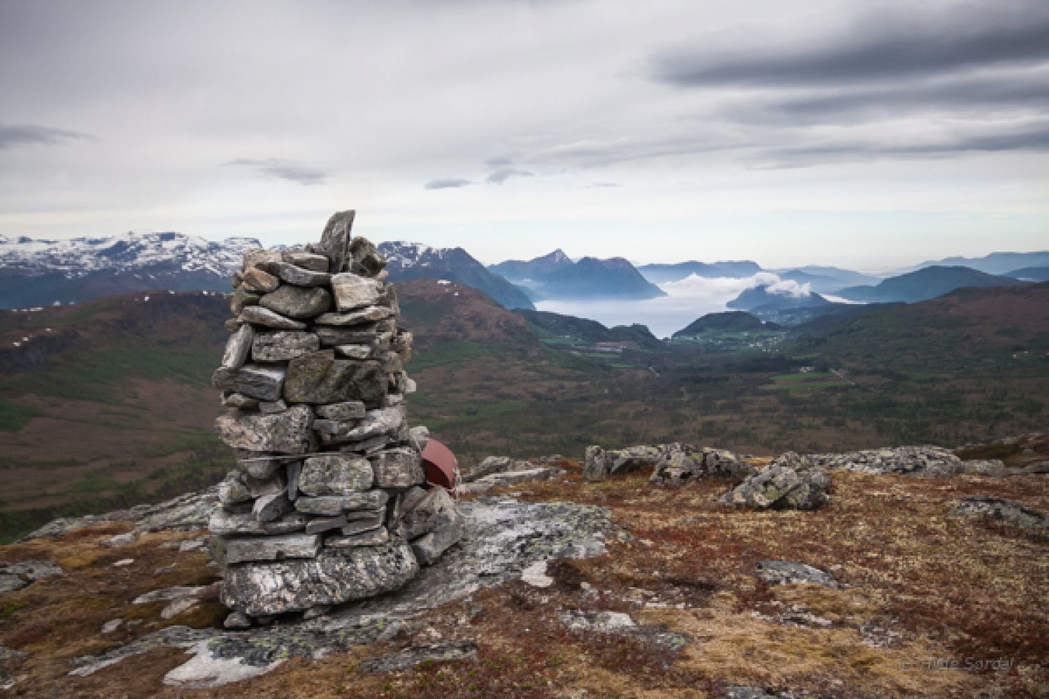
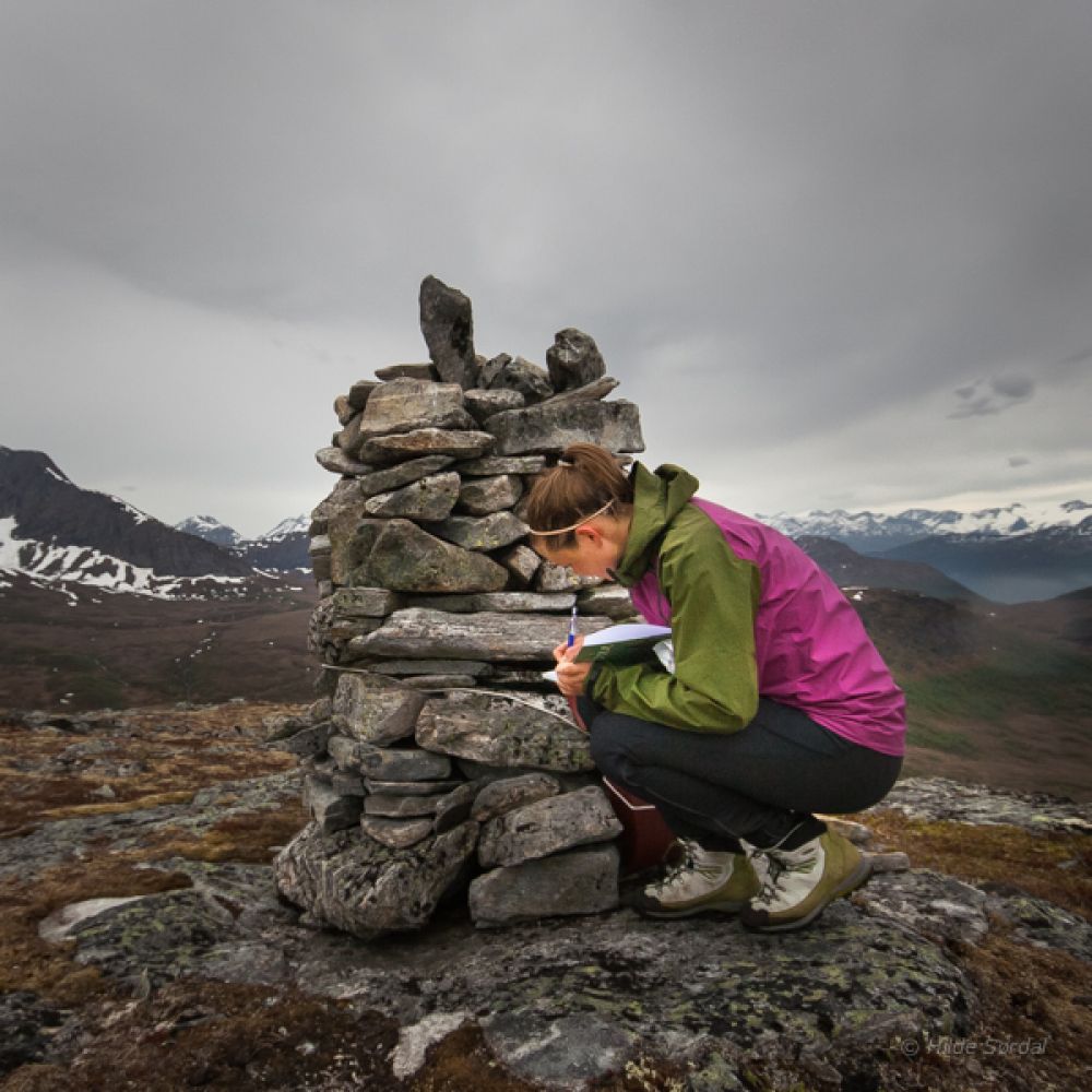
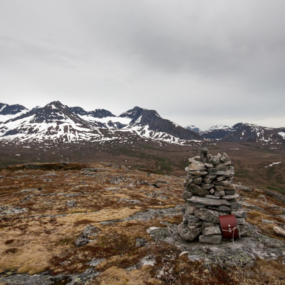
This trail is 3.5 km long one way and follows a good-quality path almost the entire time. The difference in elevation is 400 to 741 metres above sea level. You will walk over marshes and areas of mountain birch forest before reaching the summit that offers an amazing view of the entire Mount Vaksvikfjellet. The area is snow free from the beginning of June. Blåfjellet is a rounded peak with areas of grass and rock. It is a great hiking destination all year round.
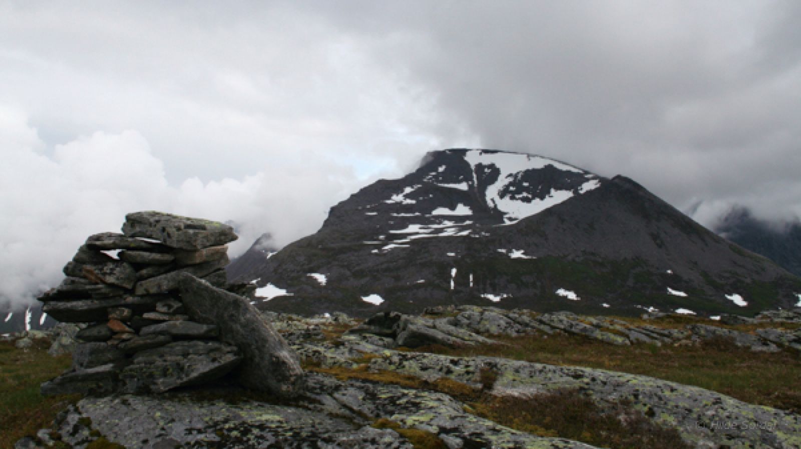
The trail initially follows the same path as the trails to Grytavatnet and Lauparen. Cross the first river on your way and keep following the path south of the river. After you walk past a hilly area, you will see a small pine tree by the river and a signpost for Mount Blåfjellet. Turn left and walk across the river. Continue northeast along a small riverbed in the direction of Kvitnyken and Sunnmørslauparen. You will soon find a path which you need to follow until you see Lake Heivatna in the north and the top of Mount Blåfjellet in the northwest. It is recommended to keep walking in that direction until you see some open areas in the mountain birch forest where you can walk up the mountain. If you do that, you will find a path that will take you all the way up to the top of Blåfjellet. The path is marked by sticks that are easy to spot.
Turn off National Road 650 (RV650) between Sjøholt and Stordal in Vaksvika. Drive east along the county road in the direction of Tresfjord. You will drive past the farms in Vaksvika and Vaksvikfjellet Camping. After about 5.5 km, you will reach a junction. A toll road runs from here to Grytalisætra. This is where you will find a car park.
Park your car at Grytalisætra.