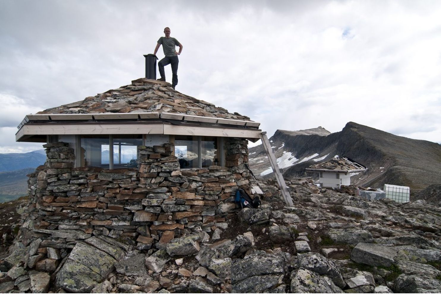
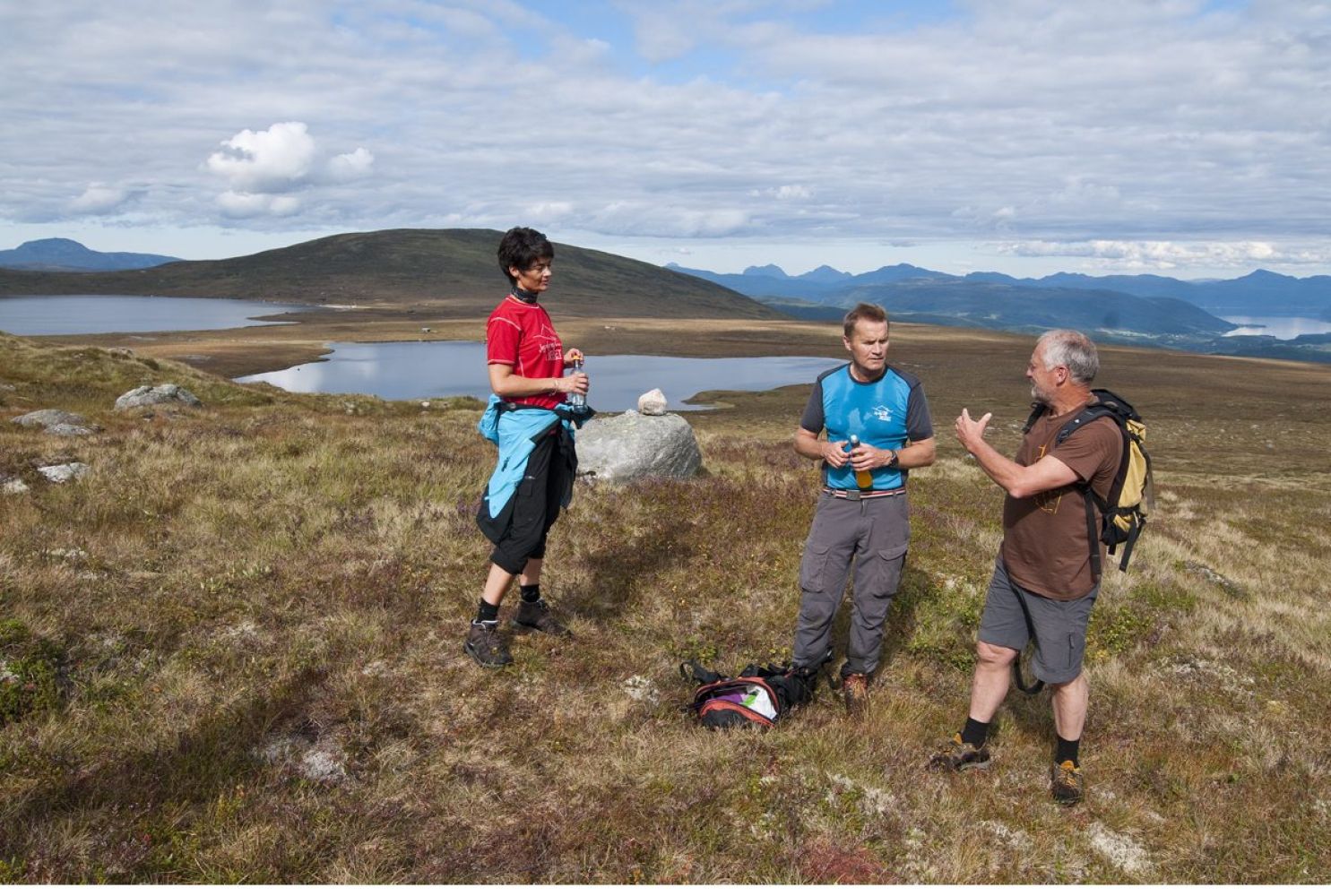
This trail follows a beautiful open high mountain terrain. Blånebu, a very special cabin that you have certainly never seen before, welcomes you at the top.You will enjoy great and diverse views along the way.
Route description
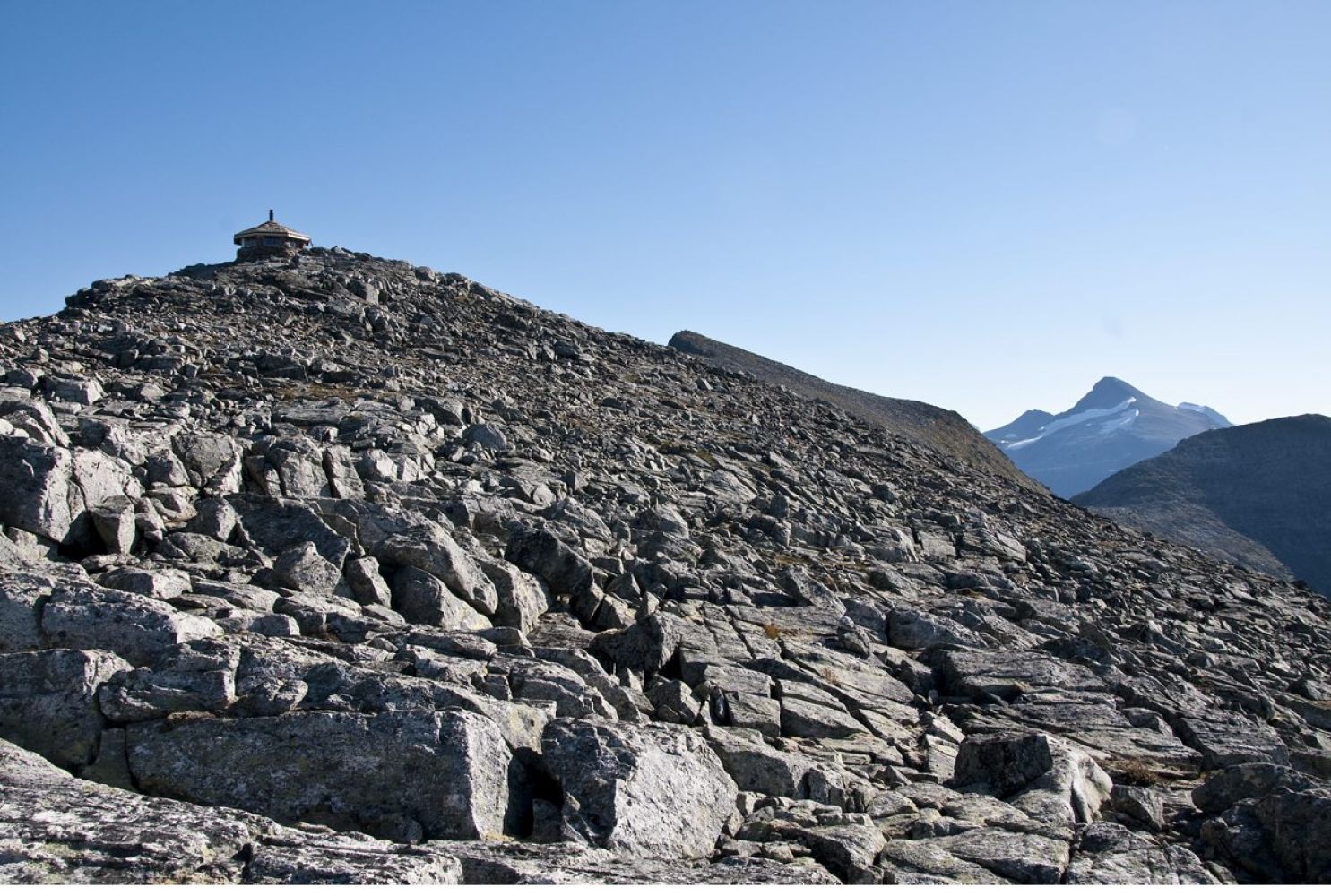
Starting from the car park (610 m a.s.l.), walk across the flat areas and past Lake Kvendsetvatnet on the western side. There will be some marshy areas from time to time. After you have walked for 2 km, begin a slight ascent through the moorland which you need to walk through all the way up to Sandvikskaret (840 m a.s.l.). From there, it is going to get steeper. Follow the scree slope all the way to the top. Keep primarily to the ridge as it stretches towards the north. You will reach the top of the mountain and the fantastic Blånebu cabin after having climbed 350 altitude metres. Here you can reward yourself with a good snack. The cabin is open for everyone.
Once you reach the top of Mount Blåfjellet, you can continue walking north along the ridge to Mount Åbittind (1396 m a.s.l.).
Arrival and parking
Blåfjellet, Meisalfjellet/Bugge – 1192 m a.s.l.
Follow County Road 62 from Eidsvåg towards Sunndalsøra. After a few kilometres, turn off the road in Tiltereidet at the sign to Meisal and Brandhol transformer station. The toll road up to Lake Meisalvatnet starts from this station (toll fee 50 NOK). Follow this road almost all the way to the end and the main car park. You will see a sign to Blåfjellet here. The path is partly marked with sticks and painted marks.