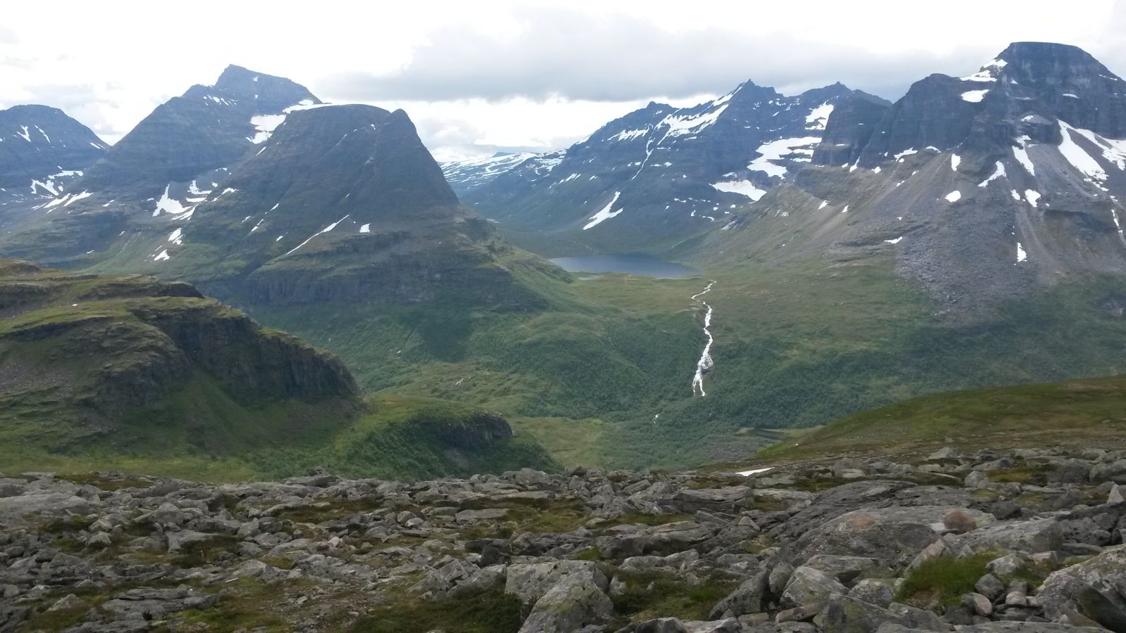
The destination of this trail is the beautiful Bjøråskaret, 1178 metres above sea level, on the border with the Innerdalen Valley and Sunndal Municipality. The highlight of this trail is when you come up to the highest point of the mountain gap and see the mountain areas with Innerdalstårnet, Trolla, and Skarfjellet rising up all around you.
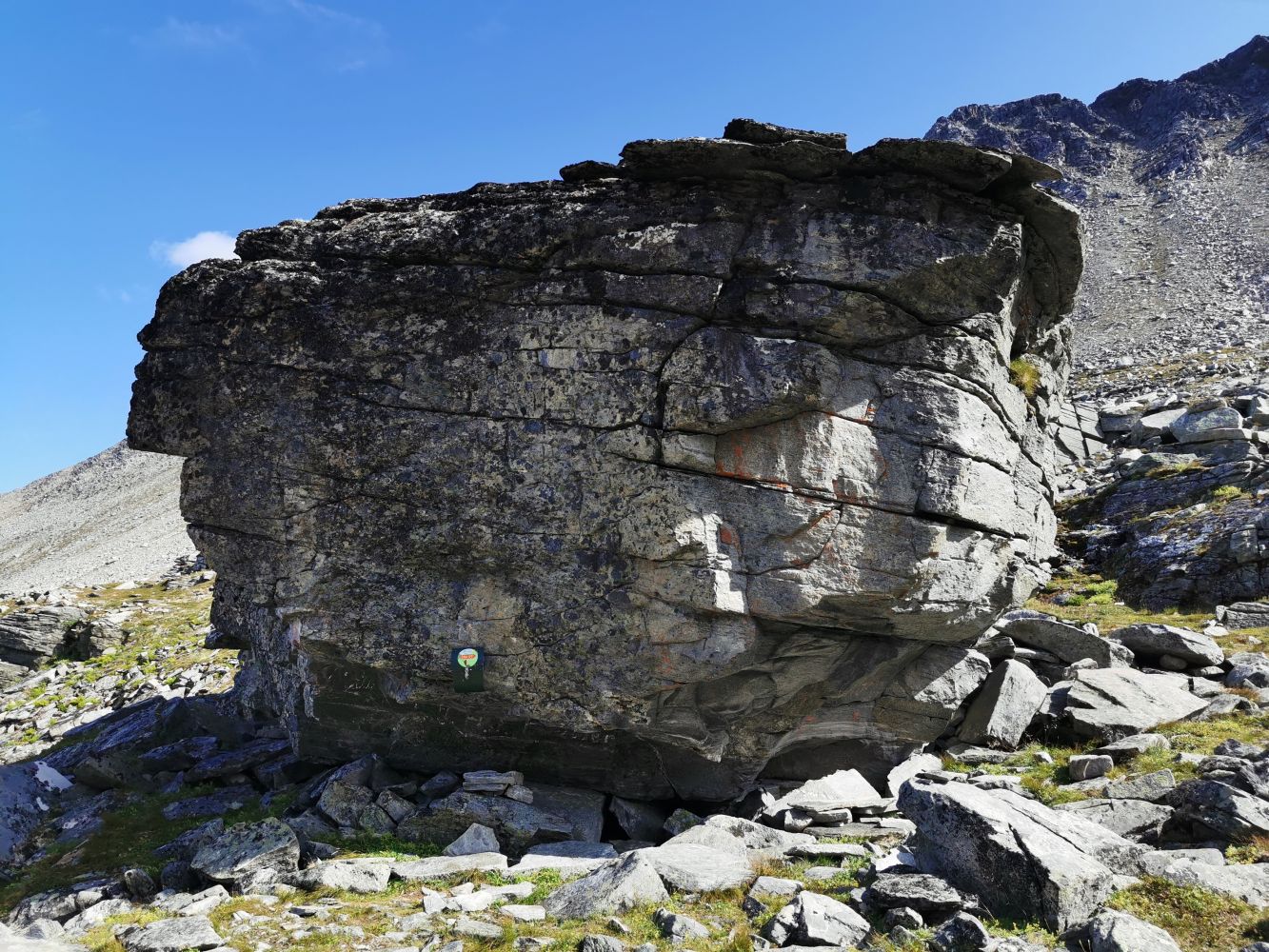
Note! The Stikk UT trail postbox is placed at a high stone further down the mountain gap.
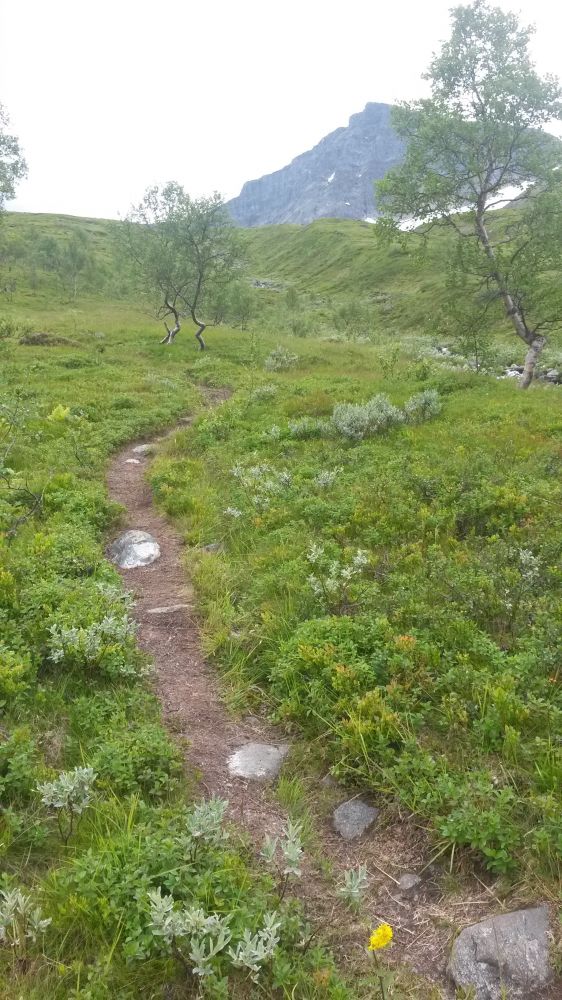
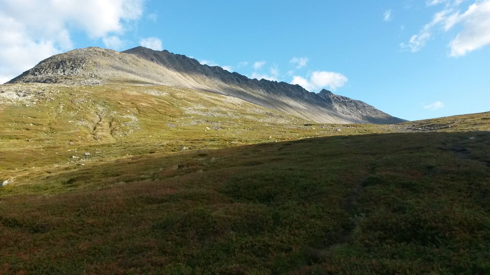
Follow the well marked path in the direction of Bjøråskaret and Innerdalen. The trail is gradually ascending the entire time, and you might not even notice the ascent. There are no steep slopes here that are very typical for more challenging mountain hikes. The trail goes through some magnificent scenery. One of the experiences the trail offers is walking alongside the magnificent Mount Skjerdingfjellet. Once you reach the top of Bjøråskaret at 1178 metres above sea level, you will get a fantastic view over the mountains of Innerdalen and Sunndal. If you are still looking to extend your hike, you can walk up to the top of Mount Skjerdingfjellet or Mount Snøfjellet.
Follow Todalsvegen Road in the direction of Todalen. After you cross the river near Bruset, continue driving further in following Markavegen. After about 2 km, take a right turn onto Dalavegen Road. Drive further for about 3.7 km. There is a sign for the starting point of the trail on the right side of the road. You will see a car park on you left about 100 meters past the sign.
You can park your car next to the starting point of the trail.
Duration
6 t. 15 min.

Signage
Both signed and marked
Mobile coverage
Partially
Since this destination lies so high in the mountains, you should usually wait until around midsummer before the pure hiking season properly starts here. However, this route is very popular as a combined trail in early spring and summer. You can walk through the first section and ski for the final section. If the winter is especially snowy, you might need to walk on the snow surface for the first section later in the summer as well, but the snow is usually settled at this point, and it is easy to walk on it.
 Driving directions
 Route data
GeoJSON
Route data
GeoJSON