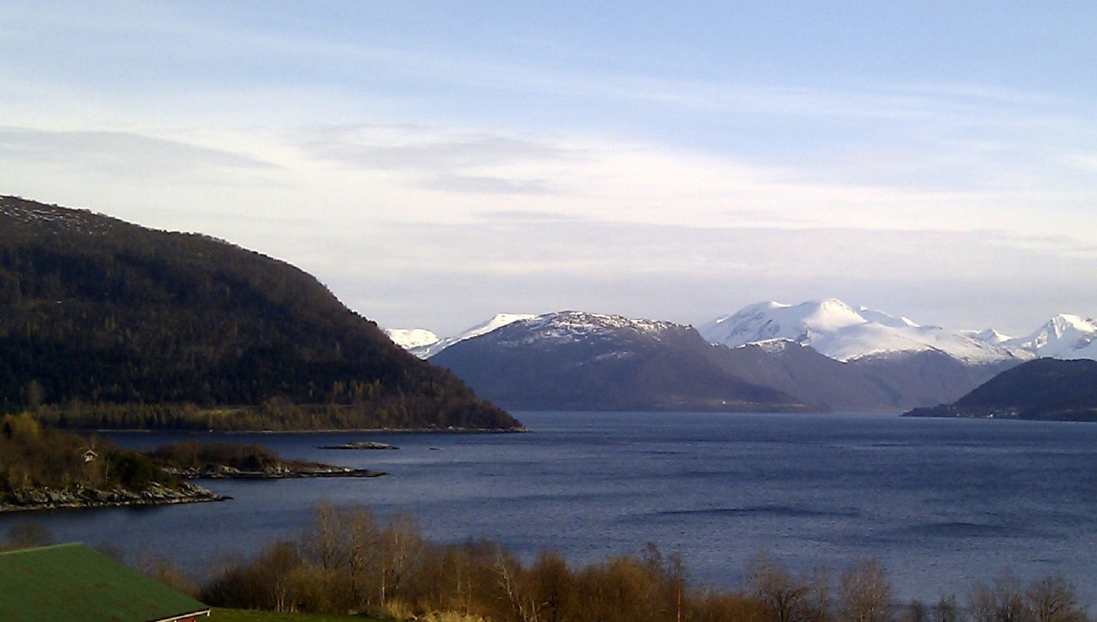
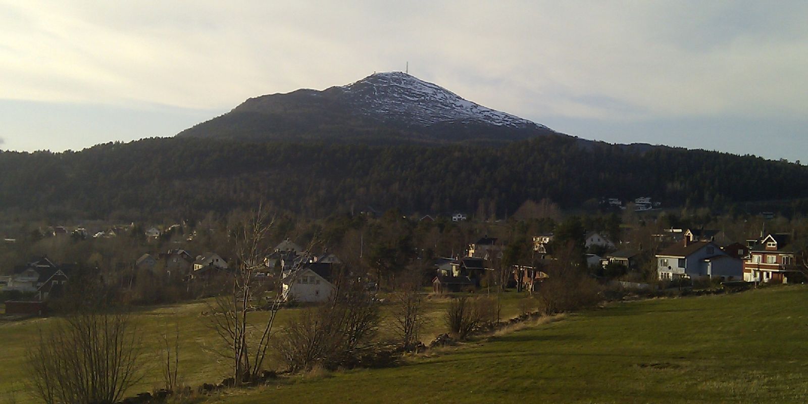
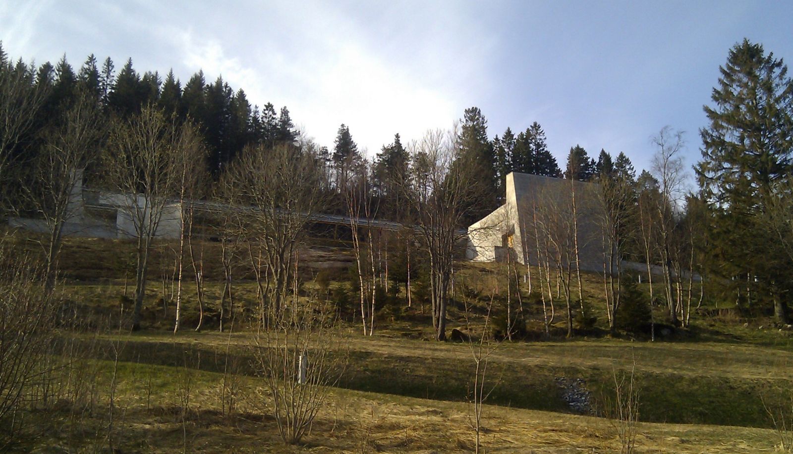
Great cycling route in easy terrain with few cars. Many good places to stop. You will pass Aasentunet on this route, which is worth a visit.
The route starts at the Volda care home. You can either take the walkway on the upper side or between the buildings, or cycle down Gamle Engesetveg and then take a right onto Gamlevegen. At the crossroad of Gamlevegen/Nordalsvegen, continue straight below the row of houses furthest down. You will then enter the pedestrian and cycling path along the E39. Follow this until you reach the underpass. Turn left immediately after this and then turn right on Morkavegen after 250 metres. You will then come out on Berknesvegen. Stay on this road for 10 km, then on to Berknesstranda and then Sørestranda after the municipal boundary between Volda and Ørsta. Follow this all the way to Hovdebygda, about 9 km. Then continue onto Sjøvegen where the road divides, then on a somewhat steep hill for about 400 metres. Turn left along Ytrehovdevegen until you come to Indrehovdevegen. Follow this and pass Aasentunet. You will eventually end up on the pedestrian and cycling path along the E39 towards Volda, and you can continue on this path back to the starting point. The path is most along flat terrain. There are a few hills, but they are not very long.
The route starts from the Volda care home, but it is possible to start from any place in Volda centre or from places along the route. Most people will be able to cycle to the starting point. If you need to park, you can do this at the gravel area by Volda upper secondary school or in Volda centre.
Biking route
Blue landevei
Distance
29,79 km one way
Duration
4 t

Sesong
Spring, Summer, Autumn
Signage
No signage or markings
| Surface type |
Distance |
| Asfalt |
29,8 |
You can start your trip from the bus stop in Volda or from the ferry quay.
At Berkneset, you can take a detour down to the old ferry quay. This is a nice place to swim, fish or just enjoy a break. There is also an information board about the Berkneset coastal fort. The coastal fort was built by German occupation forces in 1942 and is now a protected cultural site.
 Driving directions
 Route data
GeoJSON
Route data
GeoJSON