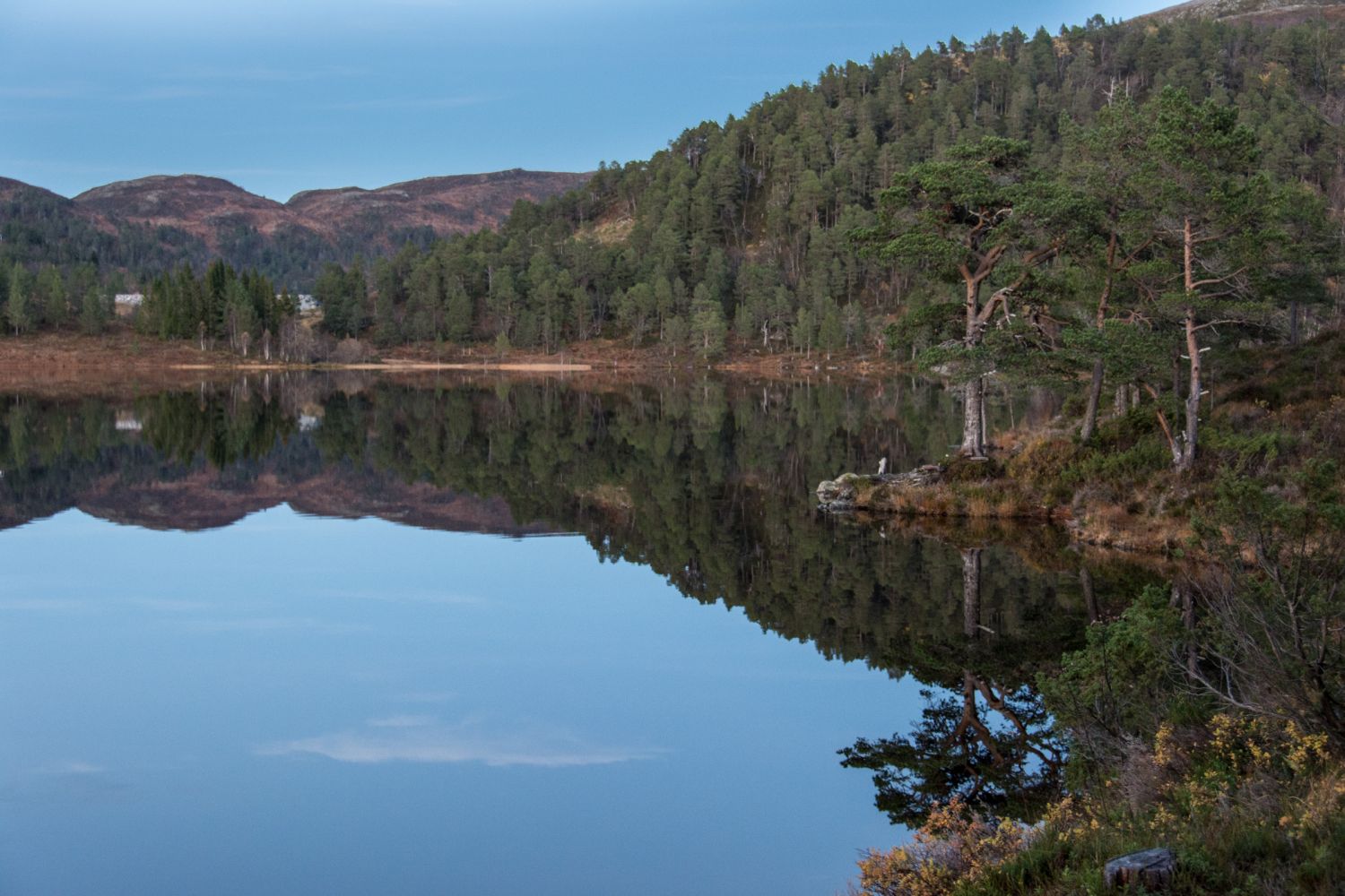
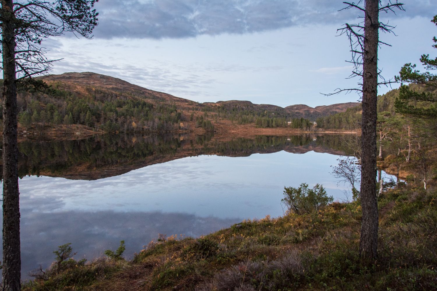
Bergsvatnet, Moldemarka
Molde
This is a lovely walk along a well-prepared hiking trail from Jensgurilia to Lake Bergsvatnet. You can combine this trail with a visit to the “gapahuk”, a nice mountain shelter north of Lake Øverlandsvatnet.
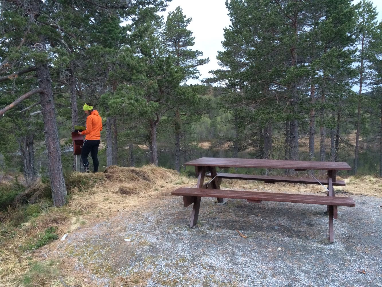
The starting point of the trail is to the right of the car park next to Jensgurilia Street. When the path splits after the small boom gate, turn right and follow the path until you reach the eastern side of Lake Øverlandsvatnet. Take the left turn here and follow the path that goes around Lake Øverlandsvatnet. After walking up a long hill on the northern side of the lake, turn off to the right onto a smaller path. Follow this path until it ends and you reach a rest area with benches and a trail postbox. If you do not want to follow the same way back, you can choose to take a walk around the entire Lake Øverlandsvatnet. In that case you need to go back to the point where the path splits and continue walking along the nice well-prepared hiking trail. Once you reach the red cabin (“Damvoterhytta”), turn left and follow the path that will take you back to Jensgurilia.
The trail starts from the car park next to Jensgurilia Street. (Nordbyen City District in Molde)
There is a car park for hikers next to Jensgurilia Street.
Duration
55 min.

Sesong
Spring, Summer, Autumn
| Surface type |
Distance |
| Grus |
0,5 |
| Sti |
1 |
The trail around Lake Øverlandsvatnet is suitable for wheelchair users, except for the final section where the path leads up to the trail postbox near Lake Bergsvatnet.
 Driving directions
 Route data
GeoJSON
Route data
GeoJSON