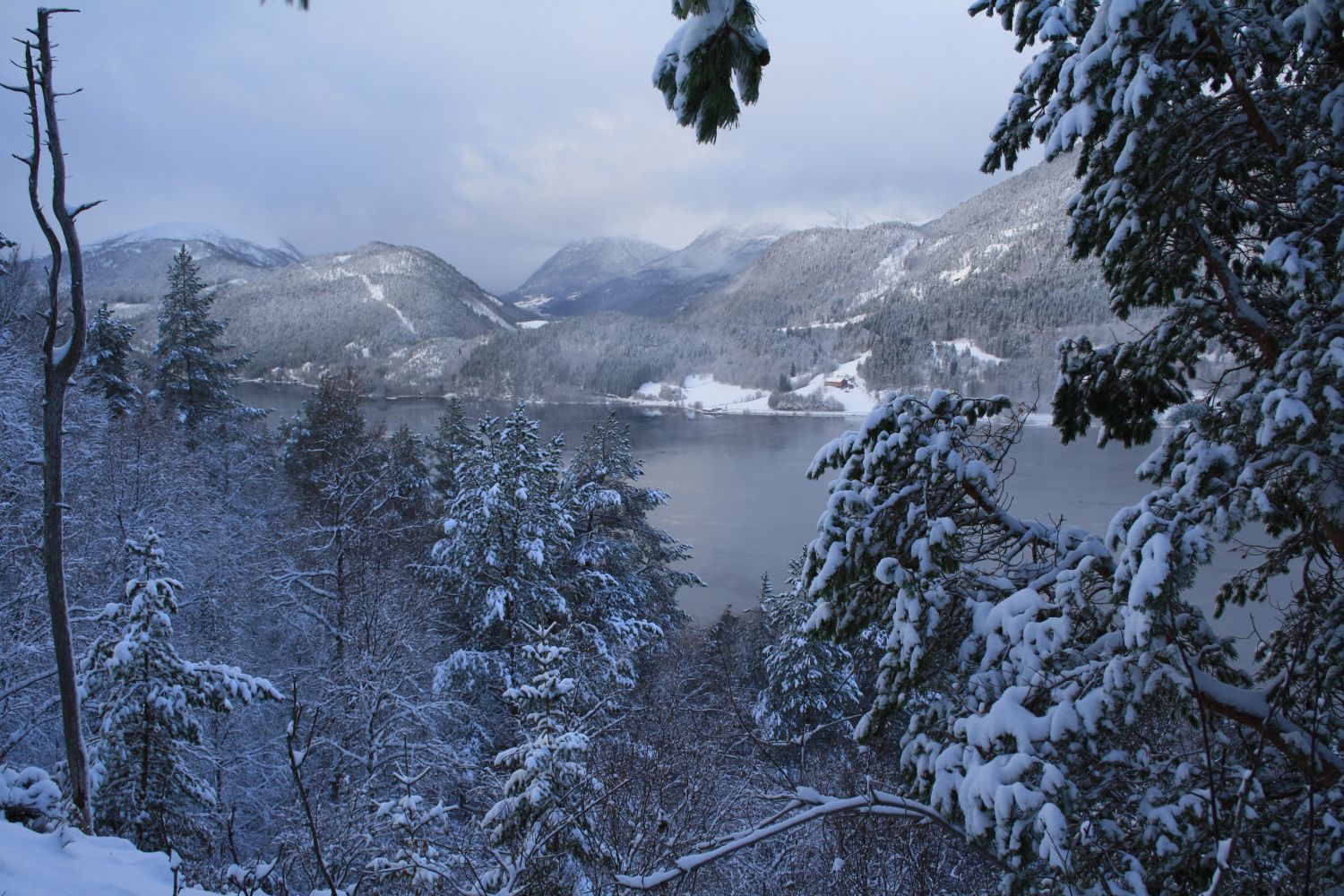
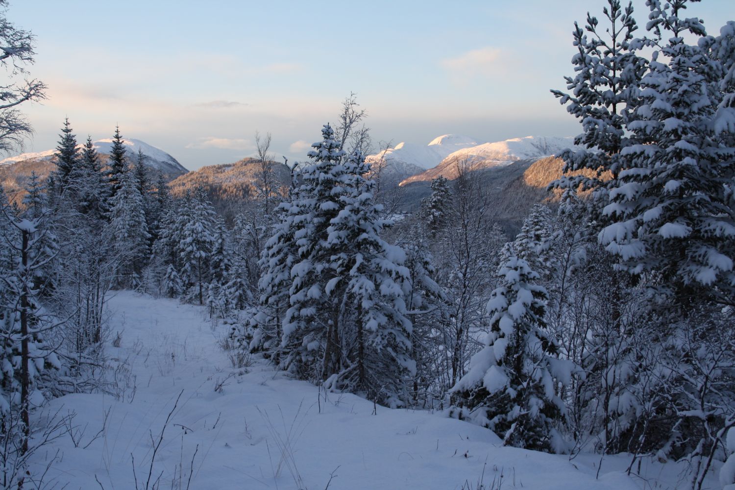
The mountain pasture at Baklisetra is a perfect destination for the first forest hike with children or for a short fitness walk in the evening. There are only remains of farm buildings at the mountain pasture now, and the area is quite open so you can imagine how the farm used to look when it was in operation.
Turn off the national road and take Trøvegen Road about 200 metres after Småøyan Camping in the direction of Surnadal. Turn right when the road splits after a couple of hundred metres and drive past some houses and up the hill. At the hilltop, you can park your car either by the upper or the lower side of the road in front of the barn. You will see a forest road climbing up the hill just above the barn. Walk up this road to Steinabakken. Cross a small stream and drift to the right along the fjord. Follow the road and later the marked path all the way to Baklisetra.
Park your car along Geilen, Bøverfjorden (Naustvegen 44)
Duration
1 t. 40 min.

Sesong
Spring, Summer, Autumn
Signage
Both signed and marked
| Surface type |
Distance |
| Sti |
2 |
It is possible to extend this hike. If you pass the mountain pasture and keep walking along the fjord, you will reach Hamnes. You will then walk down to the seaside at Furuneset, which is a lovely swimming and camping area.
Several bus routes operated by Nettbuss run past the junction with Trøvegen Road, and there is a bus stop nearby. However, it may be difficult to find bus departures that would be suitable for such a short hike.
 Driving directions
 Route data
GeoJSON
Route data
GeoJSON