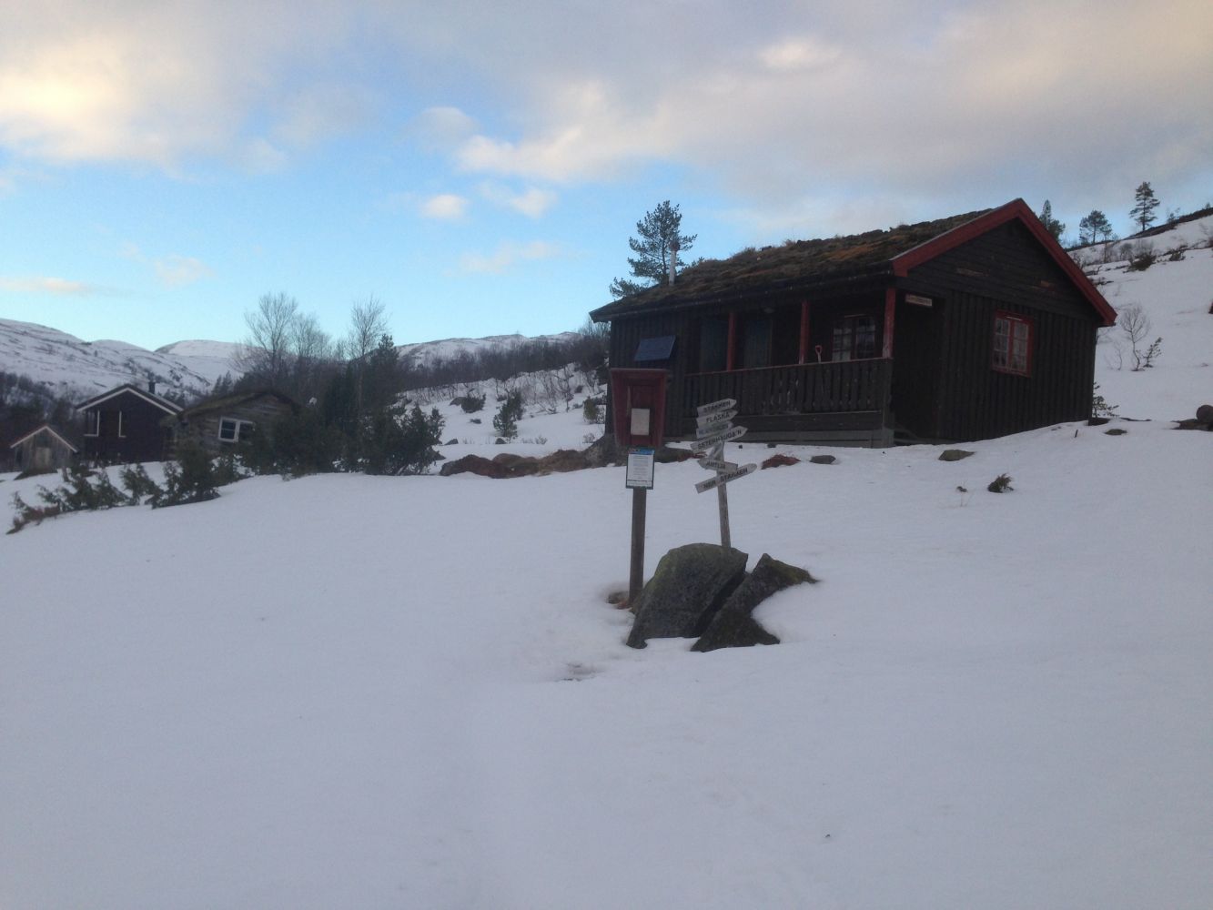
The mountain farm Bøverfjordsetra is a great hiking destination in both summer and winter. In summer, you can wear a pair of trainers of hiking shoes, and snowshoes would be ideal in winter. The first section of this trail is fairly steep, while the final section towards the farm covers moderate terrain and has a gentle ascent. Several old buildings can still be seen at the mountain farm.
Turn off the national road at the junction in the centre of Bøverfjorden and drive up the Bøverdalen Valley for a couple of kilometres. Turn left onto a gravel road that runs further up and straight ahead. Drive for a couple of hundred metres. You will see a forest road climbing up the hillside on your left. There are a couple of parking spaces here where you can leave your car. Follow the forest road from here. The road is fairly steep, but you can choose a more moderate but longer alternative at several points along the hike. If you keep to the forest road and later the path, you will end up at the mountain farm Bøverfjordsetra.
Park your car at the starting point of the trail where the forest road begins.
Duration
1 t. 50 min.

Sesong
Spring, Summer, Autumn
Signage
Both signed and marked
| Surface type |
Distance |
| Sti |
2 |
• The Bæverfjord Sports Association (Bæverfjord IL) set up a trail postbox at Bøverfjordsetra.
• The hill is so steep that it is not suitable for skiing either up or downhill. Alternatively, you carry your skis to Skvetta and ski from there.
 Driving directions
 Route data
GeoJSON
Route data
GeoJSON