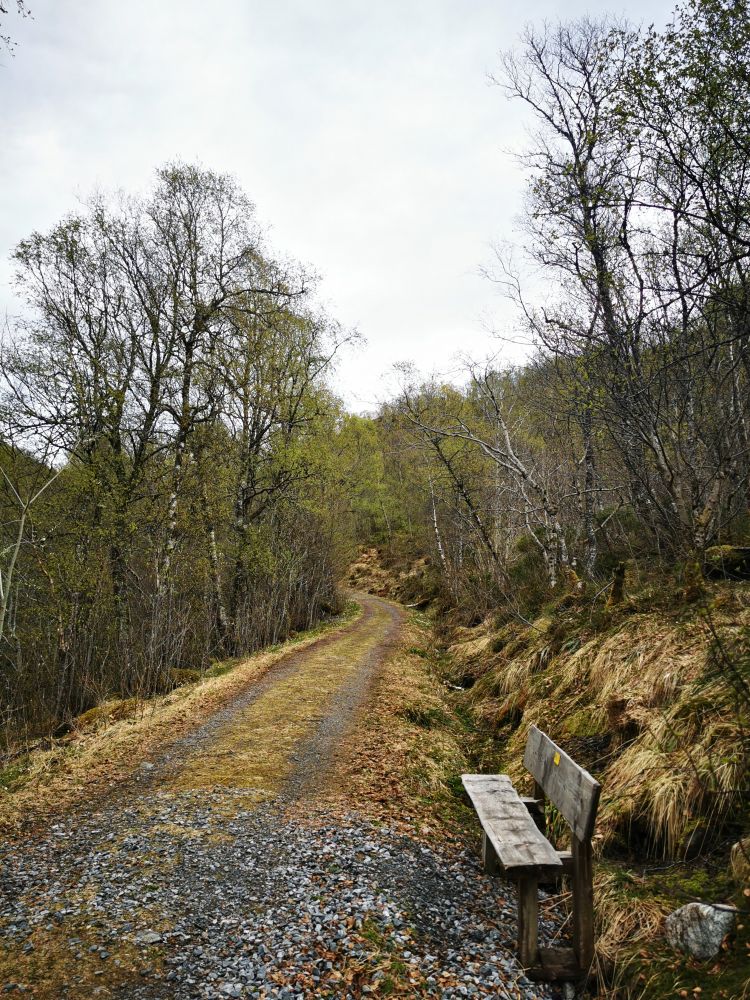
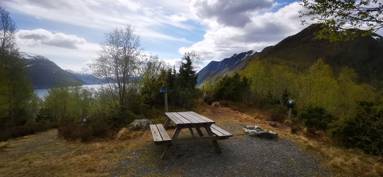
The route to Alskleiva is easy, with a gentle incline, but with no difficult sections. Suitable for families with small children or an afternoon walk with a friend or partner. There are benches along the forest road, and at the top of Alskleiva you will find benches and a campsite. It also has signs indicating trails in several directions.
Route description
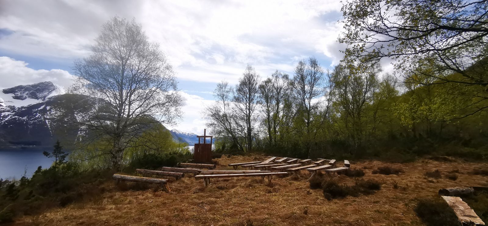
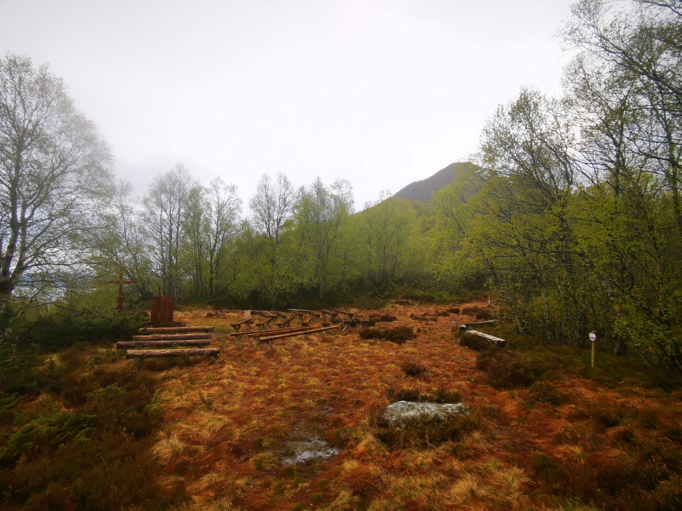
The route starts from the parking area at Holesanden. Take a left and follow the asphalt road until you reach the junction. Take a left onto the gravel road. To your left, you will see the old Snipsøyr school, which at its time was a stately and important building. you will cross a couple of farmyards and then continue on a forest road. There are signs displaying trails to Ulsettua, Korshamna, Kvamstua and Blåtinden. You will find benches along the road and good places to stop for a bite or make a campfire when you arrive. The trail leads through a lush deciduous forest. Once you reach Alskleiva, you will find great views of the fjord and Vartdalsfjell to the southeast, and Snipsøyrvatnet Lake and Hareidsdalen Valley to the north. There are more viewpoints, campsites and marked trails further on if you want to continue the hike.
Access and parking
From central Hareid, follow Hareidsvegen about 4 km (towards Ulsteinvik). When you reach Bigset, turn left where you will see signs for Kvammen, 6 km. Drive to the end of Snipsøyrvatnet Lake and turn left at the junction. About 300 metres after the junction you will reach Holesanden. There is a public parking area on the right side of the road with space for at least 20 cars. The trail starts here.
Hiking route
Green
Distance
2,27 km one way
Elevation
133 m
Duration
55 min.
Sesong
Winter, Spring, Summer, Autumn
Highest Point
138 masl
Signage
No signage or markings
Map route
Surface type
Distance
Asfalt
1,2
Grus
1,1
Public transport
This route begins in the Snipsøyrdalen valley, with access by car or bike.