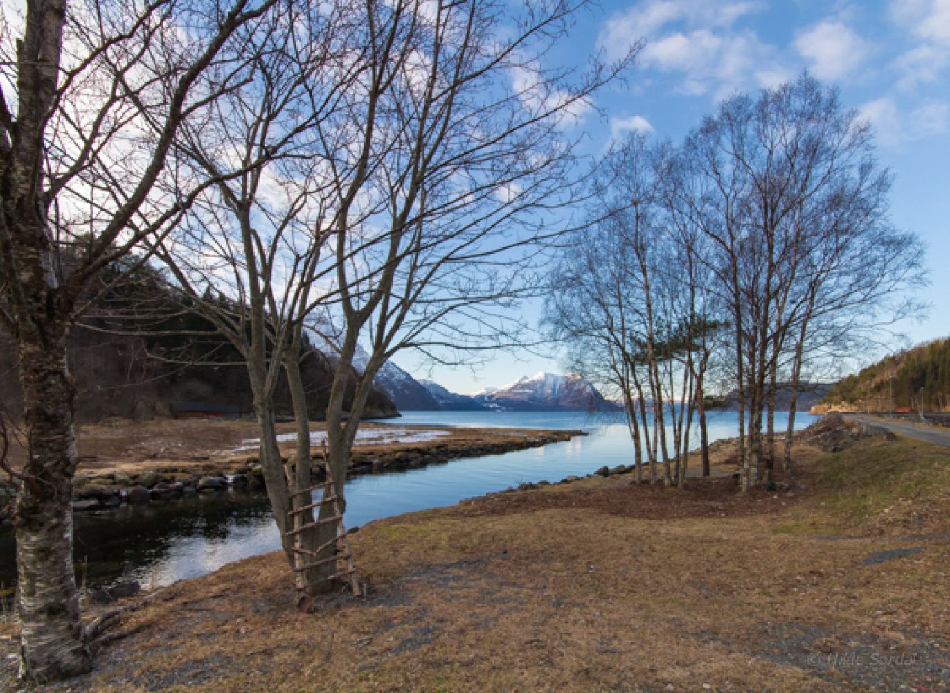
The starting point of this hike is Vaksvik Marina. The area is great for swimming both in the sea and in the river Vaksåa. You will also find tables and benches here. A fine architect designed bridge takes you to the other side of the river. The trail runs through areas of mixed forest and is perfect for a family hike because of its variety. We also recommend a quick detour to Kvitneset which is a good fishing spot.
Route description
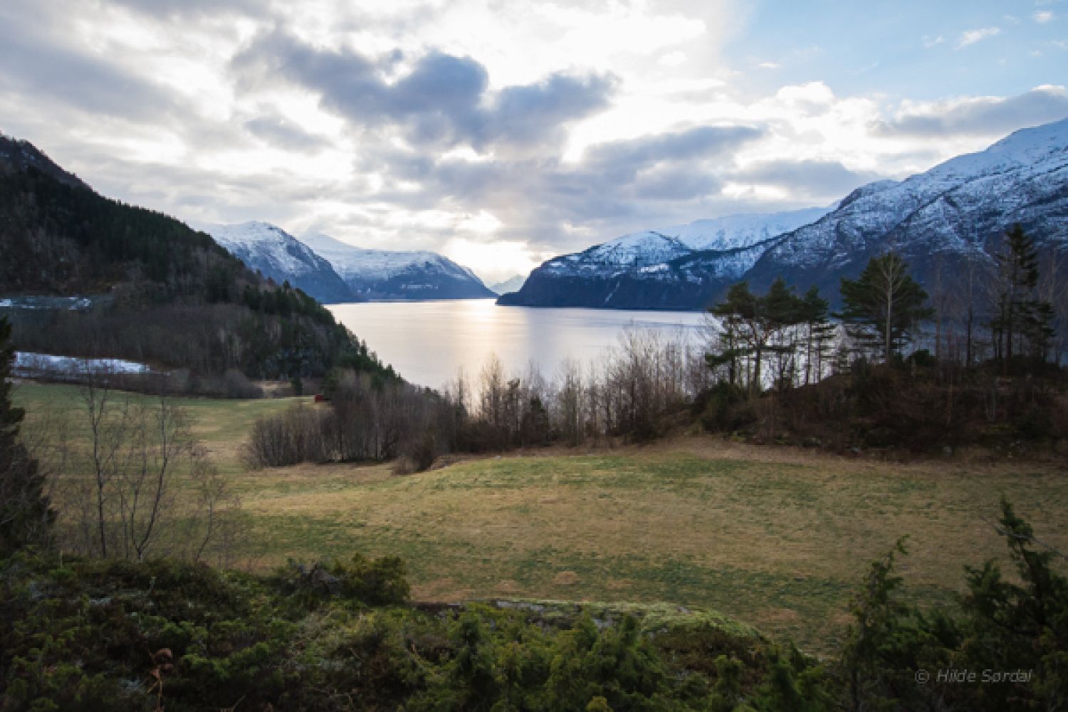
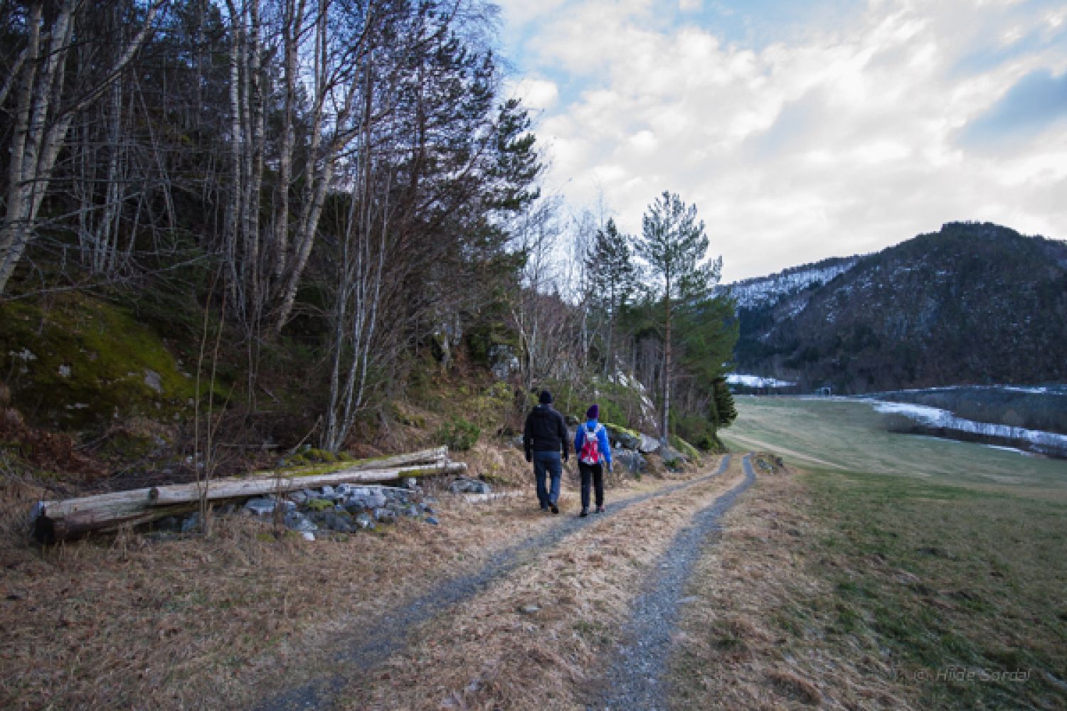
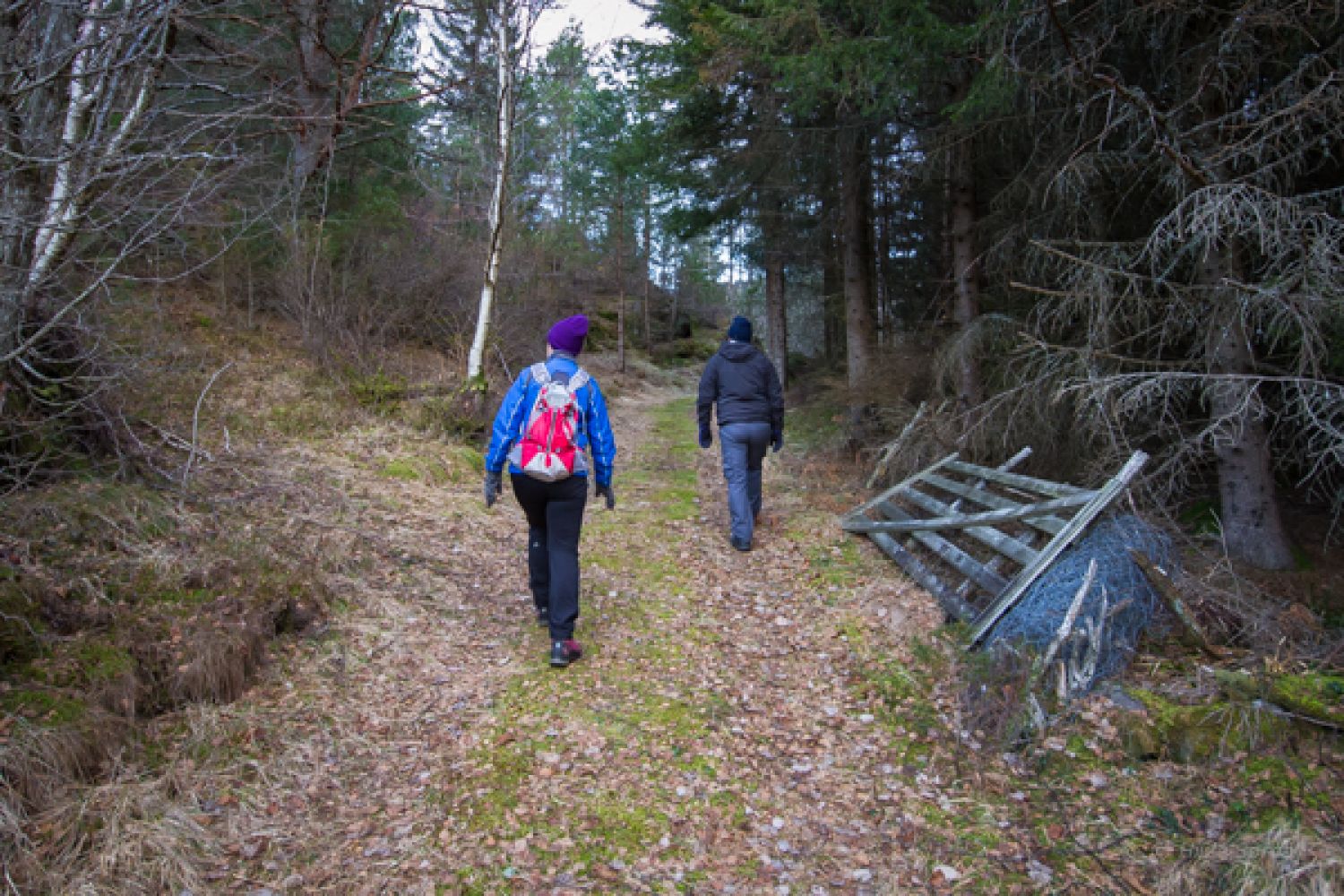
Leave your car at Vaksvik Marina and cross the bridge over the river. Follow the sign for Aksleskaret. This is a circular trail which you can follow in both directions, but we have chosen to start by walking to the right along the gravel path and the sea. The path will soon start climbing up through the forest. It is an old mixed forest with many rare and exciting types of trees. You will see waymarks in the trees. After about 300 metres along the path, you will reach a signposted intersection. Here, you can take a detour by walking to Kvitneset down by the sea. Return to the signposted intersection and walk straight ahead and up through the forest towards Aksleskaret. After a while, you will get a view of Mount Hallvardfjellet as well as the Storfjorden and the mountains in Stordal. You will come up to the fields near Viset and follow some sections of the old tractor roads. Follow the waymarks where the path turns and runs into the forest again. You will find the trail postbox on a tree with a view over the fjord (please see the first photo). The path follows an old road over Aksleskaret before you get the view of the farms in Vaksvika again. Keep to the right along a spruce forest and walk through a fence. You will soon come to a sign that marks the path. Follow the path as it takes a sharp turn to the left. From here, you are only a short distance away from the marina.
Access and parking
Drive along National Road 650 (RV650) from Sjøholt to Stordal. Turn off to the right in Vaksvika and drive down a steep hill to Vaksvik Marina. Note that the houses here are very close to the road. Please also pay close attention to the traffic when driving back onto the national road. Keep to the right due to the limited visibility.
Park your car at Vaksvik Marina.