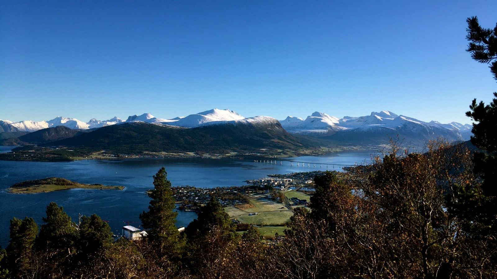
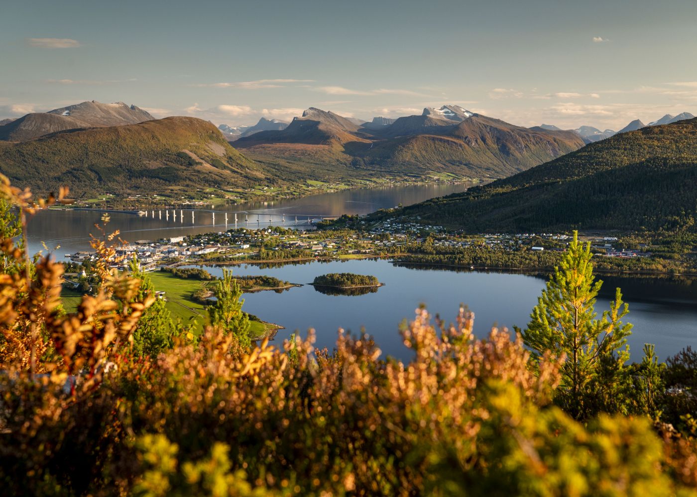
This short trail is easily accessible from a car park in Åsbøen. From different viewing points on the hilltop, you will get a view of both fjords and mountains, as well as Bjørnsund out in the open sea. Coordinates of the viewing points on Åsnakken: “Gapahuk” mountain shelter: 32 V 0400193 and 6947002. Åsnakken East is the turning point in the east: 32 V 0400472 and 6947049. Åsnakken West is the turning point in the west: 32 V 0399865 and 6946795.
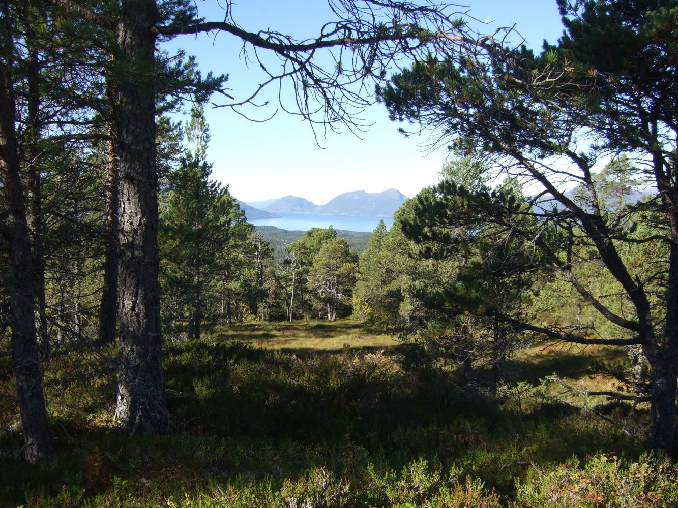
Start walking from the car park along the road to Åsbøen (Coordinates: 32 V 0399879 and 6946330). Follow the tractor road as it goes uphill to the left behind a residential building. You will come to a gate after 100 m. The tractor road continues through a grazing field for cows, and you need to walk to the right of the pole with an arrow pointing to Langvatnet. (Langvatnet is NOT your destination today). 0.4 km – you will see another gate at the entrance to the forest. 0.5 km – walk for 100 metres and take a sharp turn to the right. Follow Liavegen Road to the top. 1.3 km – Liavegen Road ends in a left turn facing a marsh near the top of Mount Åsnakken. Follow the path to the right until you reach a small hill 100 metres further north. 1.4 km – you have now reached picnic benches and a “gapahuk” shelter. The trail continues along a path to the south, and after a few metres you are on the path that goes east. 1,7 km – trigonometrical point Åsnakken East 302 m a.s.l. A trail postbox where you can register your name can be found here. (32V 0400472 and 6947049) Go back to the path and the marsh that was mentioned earlier. Cross the marsh and follow the path as it goes west. 2.4 km – trigonometrical point Åsnakken West 302 m a.s.l. Follow the path for about 400 metres back and turn right onto the marsh. You are now at the top of Liavegen Road. Follow this road down.4.1 km – you are back at the car park.
Drive along National Road 661 (RV661) from Vestnes in the direction of Tomrefjord to get to the starting point which is a car park at the highest point in Åsbygda.
About 0.9 km west of “the Furnes Junction”, a roundabout where E39 comes from the ferry terminal, you will see the residential block Åsbygda Panorama (former Vestnes nursing home) on your left-hand side. On the other side of National Road 661, there is a turnoff to the residential areas above.
Once you have turned off the national road, turn left and drive for about 800 m up the hill. You have now reached the car park, coordinates: 32 V 0399879 and 6946330.