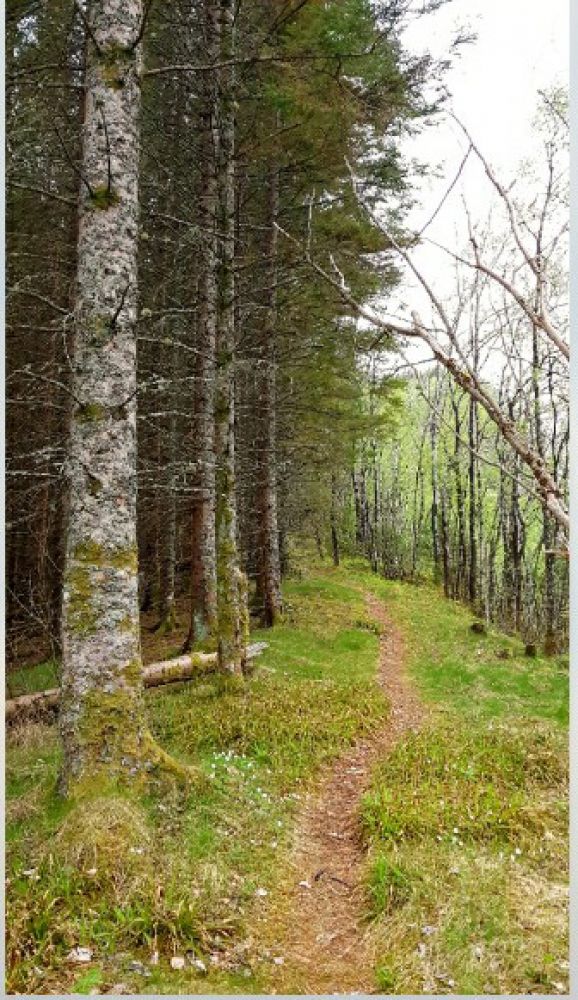
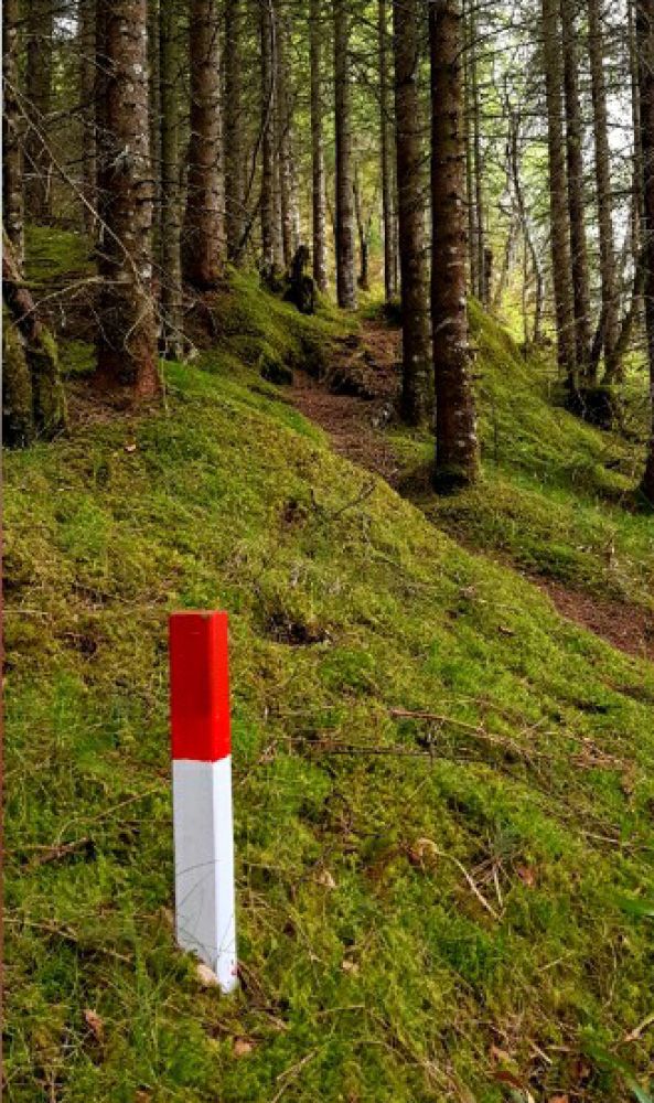
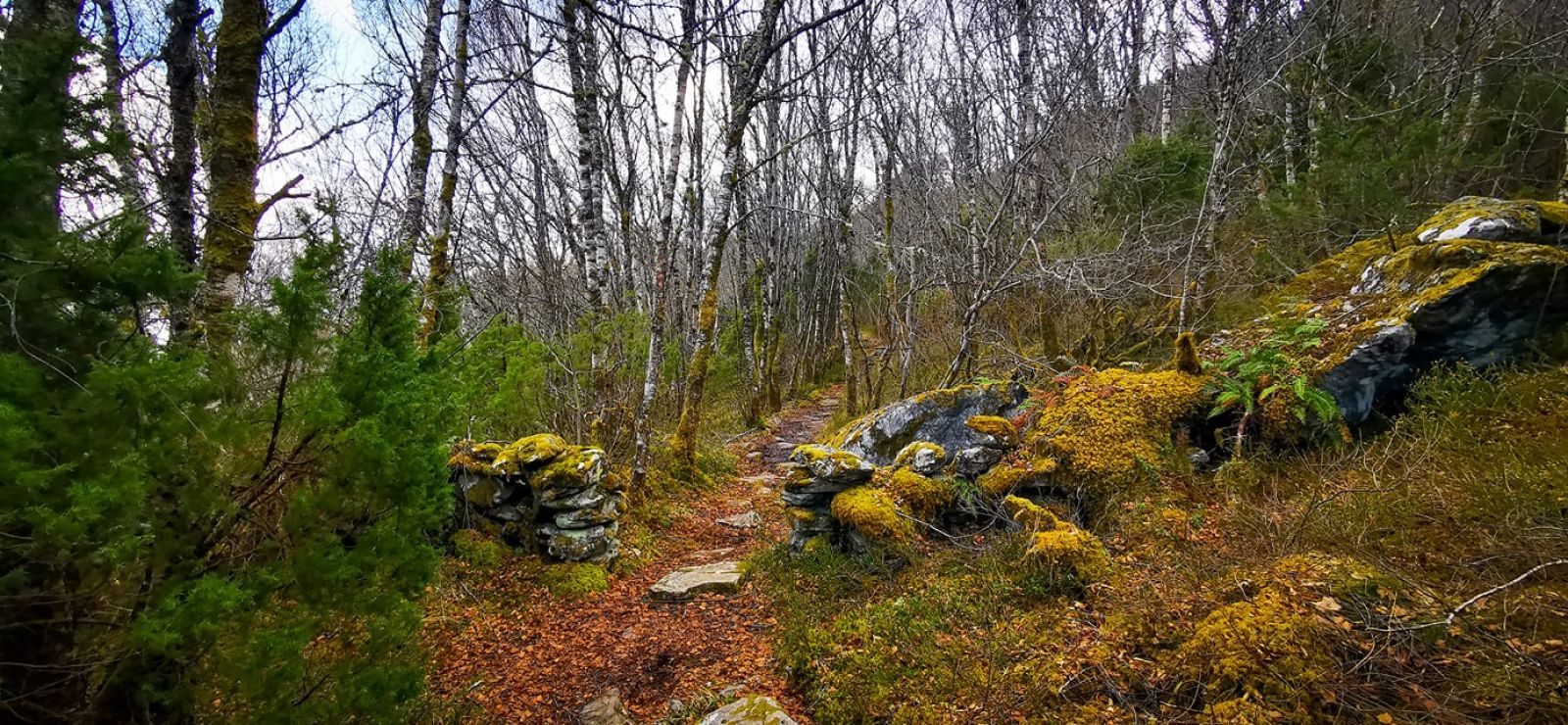
This route leads through a lovely terrain with spruce trees, deciduous trees and an open landscape. the path is usually dry and easy to walk the entire way. Many good places to stop and sit and just enjoy the trip and the view of the village of Hjørungavåg, Hjørungvatnet Lake and Vartdalsfjord.
From central Hareid, head towards Hjørungavåg. Follow the main road through Hjørungavåg towards Ulset. At the road junction, there are signs on the left for Alme. Follow this road for about 1 km until you come to the tunnel at Engeskaret. There is parking both before and after the tunnel. The trail starts here.