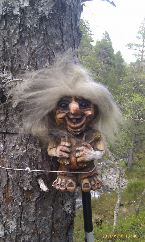
This is a lovely family hike where children can look for small and large troll figures that are placed along the trail. There is not much of a view as you will mainly walk through the forest. But you will come across several glades from time to time where the view is more open.
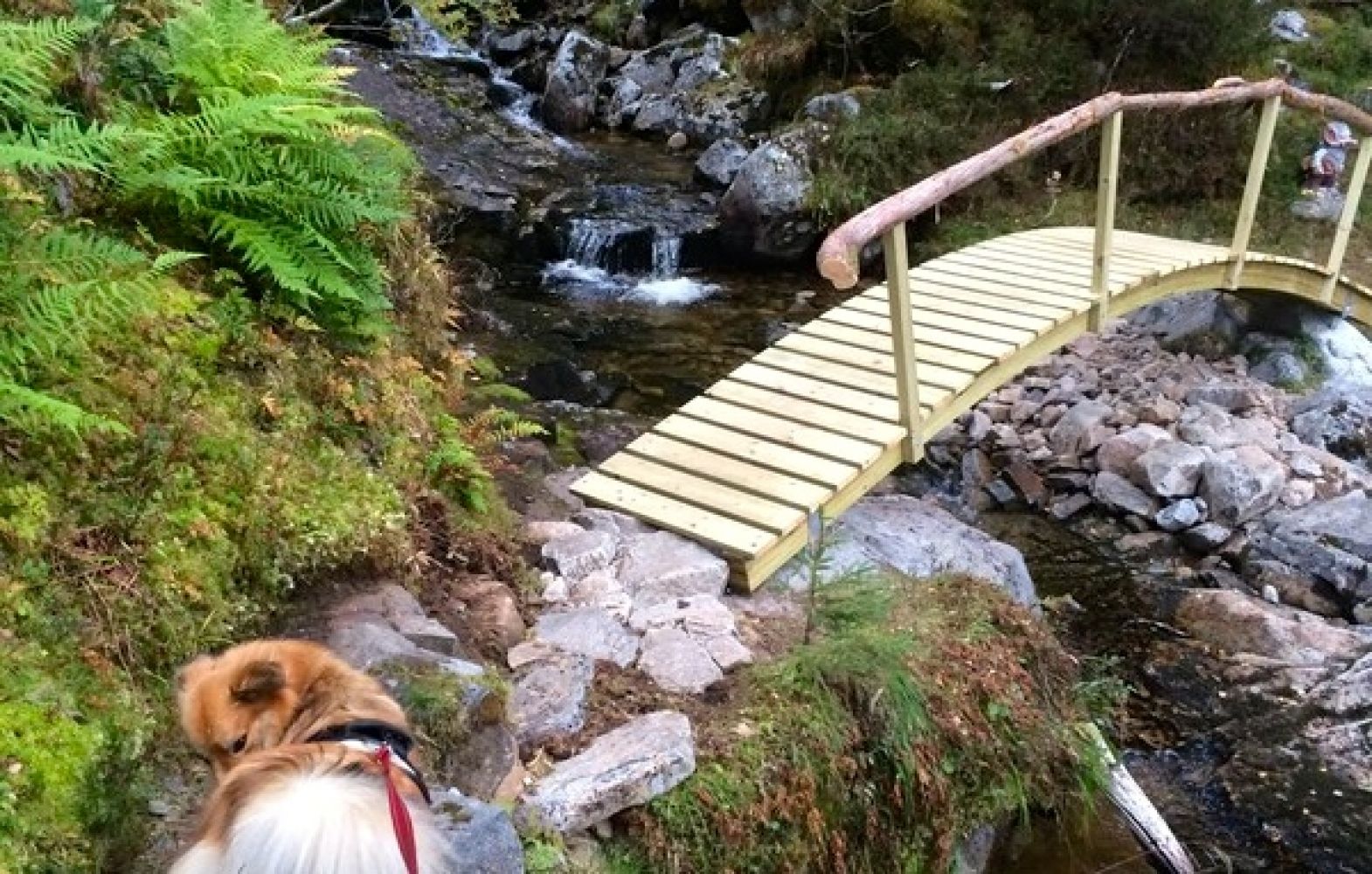
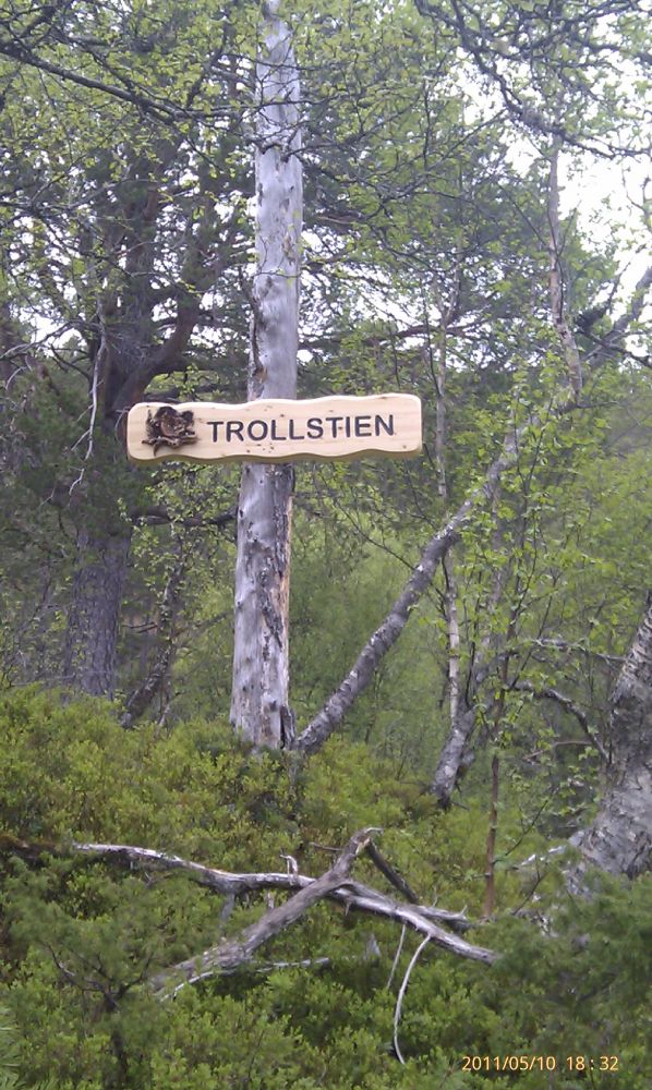
Start walking from the cattle grid next to a small car park. Follow the asphalt road further up (southwest) before turning off to the right after about 400 m and walking up a forest road marked “Trollrunda” (Troll’s Round). The first part of the trail goes mostly uphill, with some occasional flatter sections. The forest road soon splits in two, and you need to turn right and go northeast. Follow the forest road until it ends. This is where you walk onto a path and the fun part of the trail begins. You can now start looking for and counting many small and large troll figures that are placed all around the path on the way to the trail postbox and the bridge. Walk over the Troll Bridge and continue following the path on the other side of the river until you reach another forest road. Take another right turn and walk down until you reach the residential area and the asphalt road. Follow the asphalt road back to the car park.
The trail starts from a cattle grid at the beginning of the village, next to a small car park where you can leave your car.If you are coming from Vestnes, drive towards Tomrefjord and then further until you come to Fiksdal. Drive to the centre where you see the sign to Vatne. Turn left and drive straight ahead through the village until you reach the cattle grid. If you are coming from Sunnmøre, drive through the village of Vatne to Nakkedalen in the direction of Fiksdal. Once you are at the top of Nakkereset, drive down to Fiksdal and stop just before the cattle grid.
You can park your car next to the cattle grid on reaching the village.