Skåla (184 m) on Gurskøya
Herøy
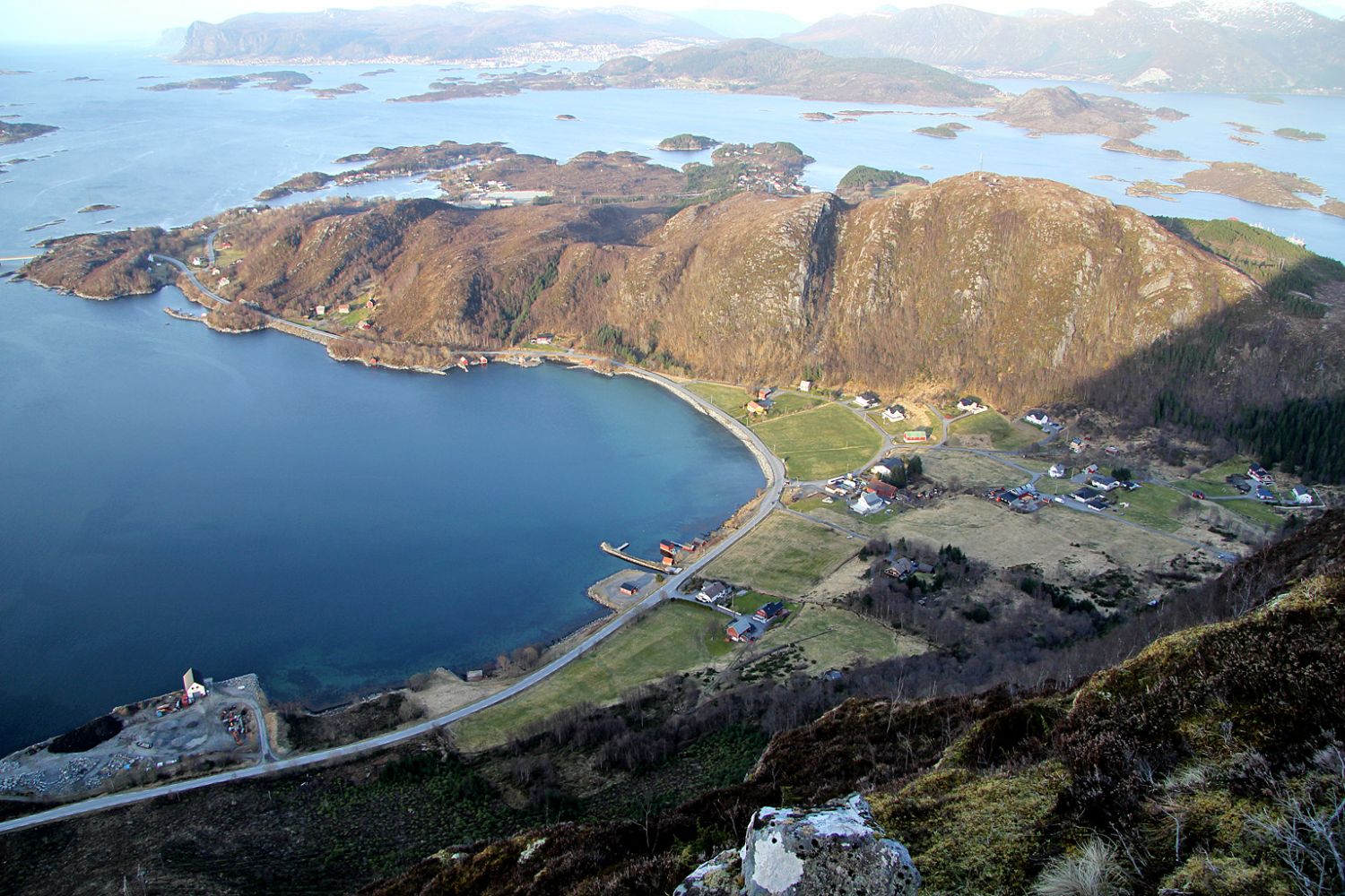
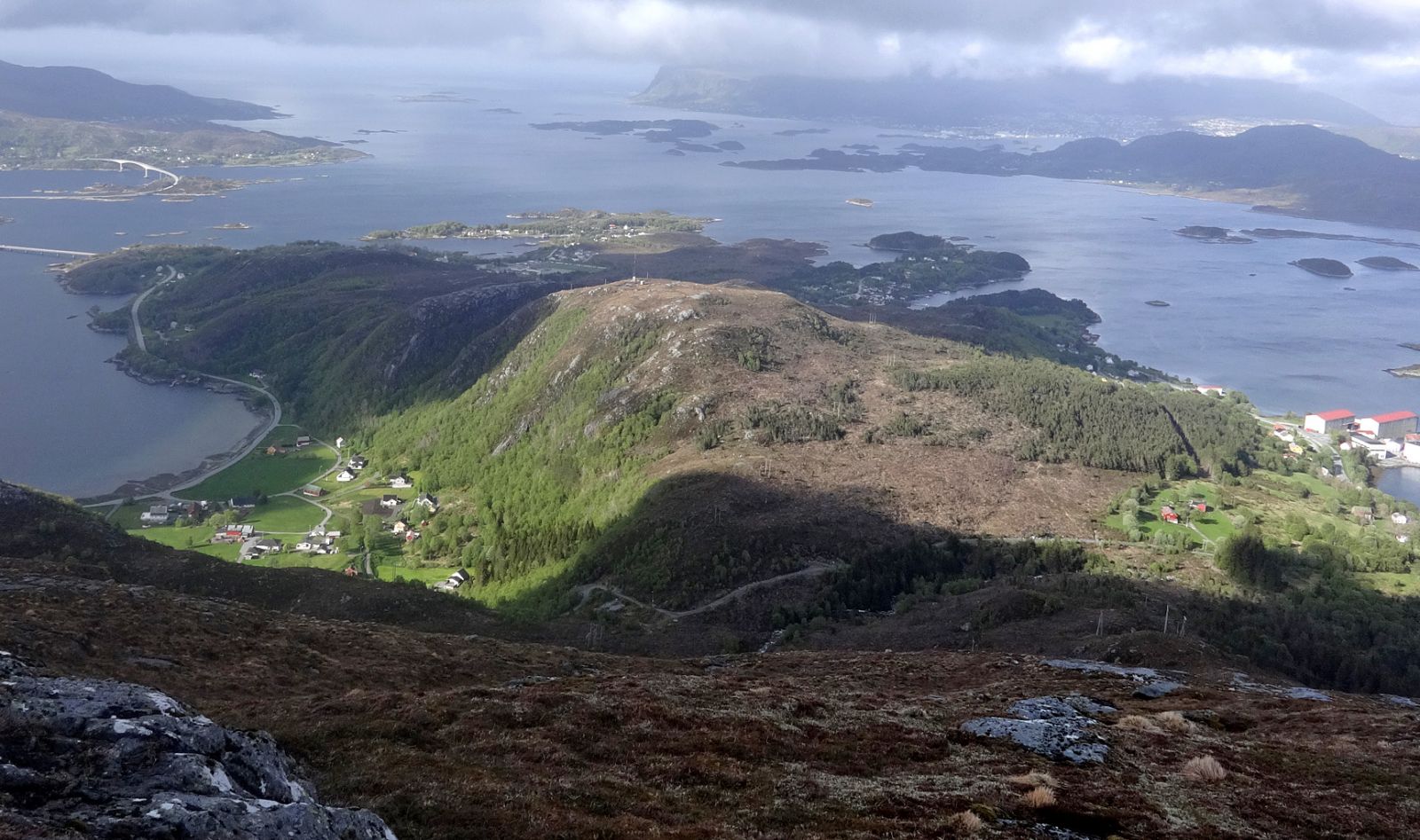
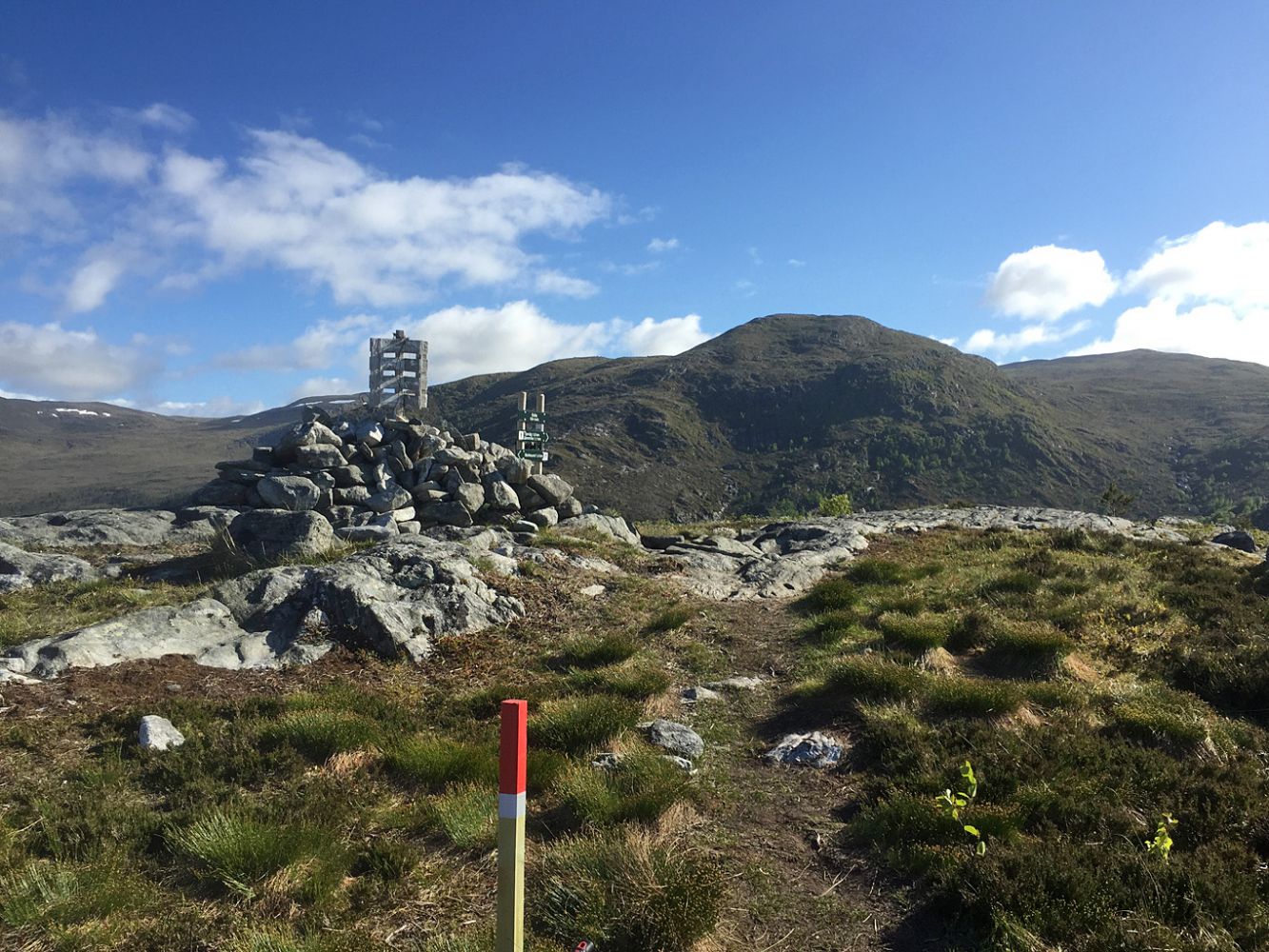
Skåla (184 m a.s.l.) is the northernmost peak on Gurskøya Island and lies between Sandvika and Tjørvåg. The marked routes from Sandvika, Stokksund School, Trolldalen, and Tjørvåg are easy to follow. You will find descriptions of all the four routes on this page, but the map and the height profile only show the path from Stokksund School.
Route 1: From Stokksund School: 1.6 km, 170 m above sea level
Start walking from the car park by the school. Cross the road and walk through a gate. You will see a sign pointing to Skåla. The path is well trodden and marked with sticks. It gradually ascends to 80 m a.s.l. Before you start climbing Skåla, you will walk through another gate. You will come across a path from Trolldalen at the height of about 120 m a.s.l. The final 400 metres before the peak are a little steep.
Route 2: From Sandvika: 1.1 km, 145 m a.s.l.
Walk up the gravel road from the car park in Sandvika until you reach Sandvikskaret. Here, you will find a trail postbox with a journal. Follow the sign that points left and walk up the marked path until you reach Skåla. You can also follow the marked path (to the right) to Sandvikhornet and Storehanen.
Route 3: From Tjørvåg: 1.6 km, 190 m a.s.l.
Start walking from Coop Tjørvåg. Cross the road and follow the gravel road towards Sandvikskaret. Turn right when you see the signpost and follow the marked path up to Skåla.
Route 4: From Trolldalen: 0.9 km, 160 m a.s.l.
There will be a trail sign at the end of Trolldalsvegen Road in the autumn of 2016. The entire path to Skåla is marked with sticks and reflectors. The path follows a prominent forest-covered ridge and meets the path from Stokksund at about 120 m a.s.l.
Route 1:
Park your car by Stokksund School that lies a couple of kilometres north of Tjørvåg and just under a kilometre from the Moltustranda–Fosnavåg junction.
Route 2:
Turn left at the Moltustranda–Fosnavåg junction, just under a kilometre north of Stokksund School. Follow the road for 1.1 km until you reach the exit road to Sandvika. Turn left and then right by the mailbox stand. Keep to the right and follow the road until you reach a car park. Please drive carefully through the farm.
Route 3:
Park your car by Coop Tjørvåg.
Route 4:
There is no designated car park here, so you have to ask for permission to park in the area. Turn left in the direction of Trolldalen between Tjørvåg and Stokksund School and drive until the end of Trolldalsvegen Road. Please also see the satellite image that shows all the paths.
Park your car by Stokksund School.
Duration
1 t. 15 min.

| Surface type |
Distance |
| Asfalt |
0,2 |
| Sti |
1,4 |
There is a bus stop by Stokksund School.
 Driving directions
 Print
Print