Norsk

Rørsethornet

Molde

The trail at a glance

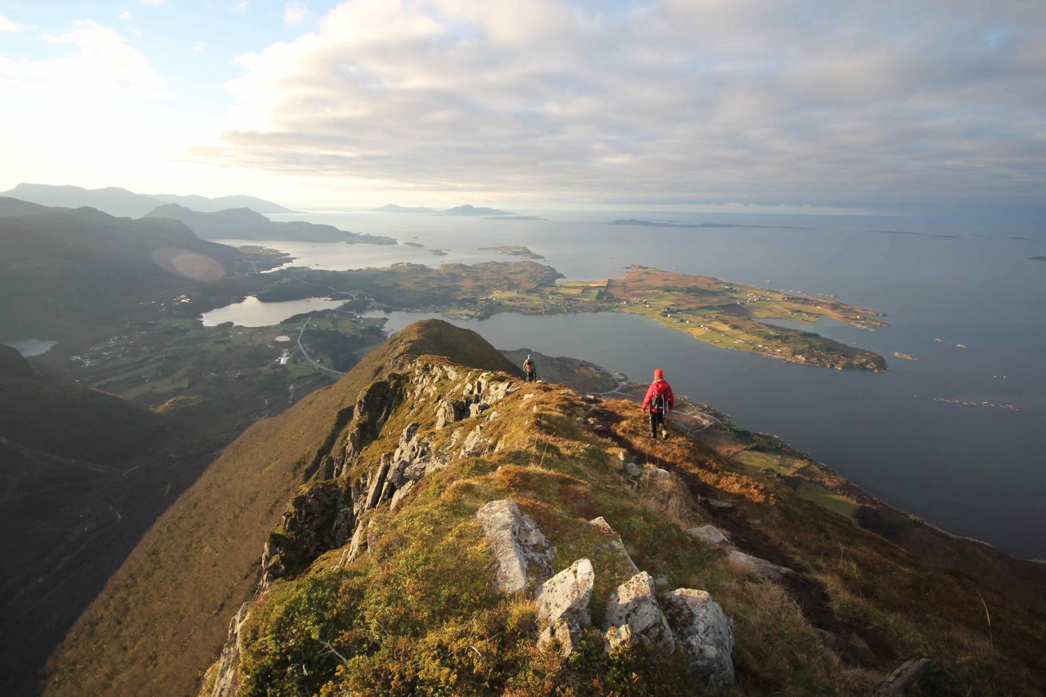
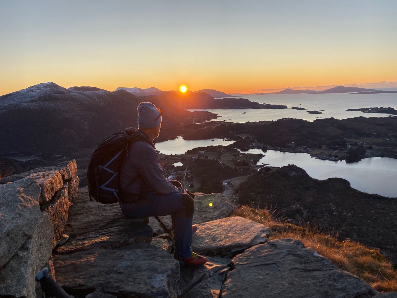
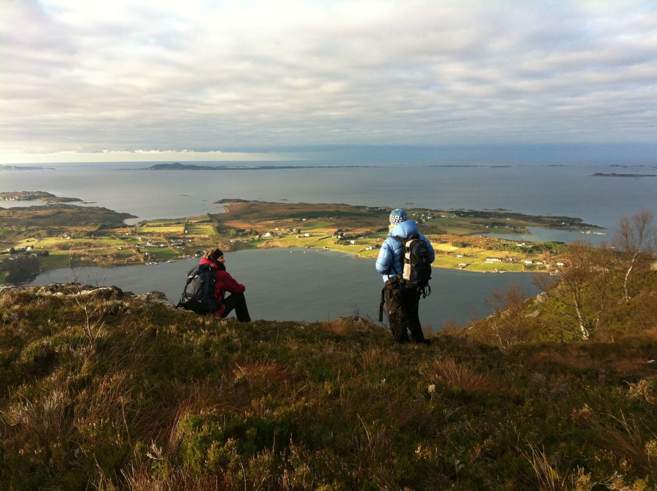
This hike goes through some amazing landscape where the ocean meets the mountains. It is one of the most spectacular hikes in the area. The fact that the mountain was visited by the “71˚ nord” (“71 Degrees North”) show speaks for itself.

Route description

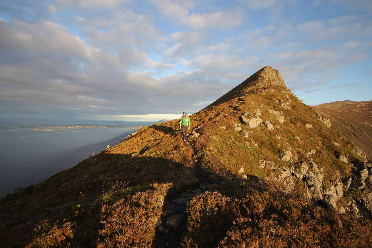
The trail starts from the car par by the national road between Rørset and Rakvåg. Cross the road and follow the clear path, stairs and the way marks up the west ridge towards the top of Rørsethornet (about 659 m a.s.l.). The stairs are built along the entire way until you come up to the top ridge. From here, follow a nice and clear path up to the top. The path primarily follows the ridge/edge of the mountain towards the top offering open landscape along the way.

Tilkomst og parkering

From Molde/Nordmøre: take a ferry from Mordalsvågen to Solholmen. Take the right turn after the ferry terminal and drive along the north side of Otrøya Island following National Road 668 for 12.5 km. Stop at the end of the west ridge of Mount Rørsethornet between Rørset and Rakvåg. If you are coming from Sunnmøre, take a ferry from Brattvåg to Dryna. Drive across Midøya Island and the Midsundet Strait along National Road 668. There is a nice and large car park at the foot of the mountain.
Hiking route
Red
Distance
2,41 km one way
Elevation
631 m
Duration
2 t. 50 min.
Sesong
Spring, Summer, Autumn
Highest Point
659 masl
Signage
Both signed and marked
Mobile coverage
Yes

Map route

Surface type Distance
Sti 2,3

Other

Enjoy a fantastic view the whole way!

Map

1220 II
Driving directions
Print