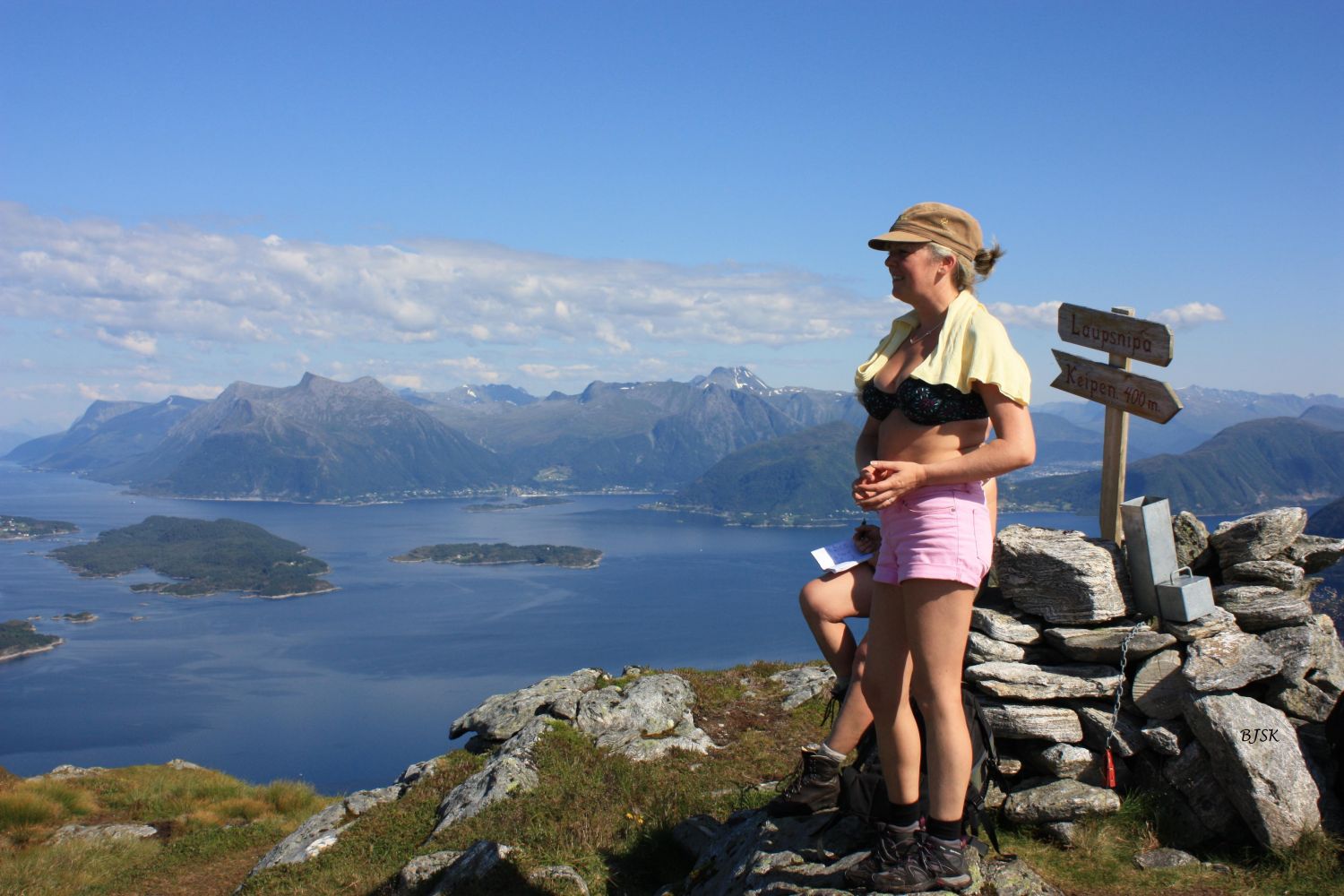
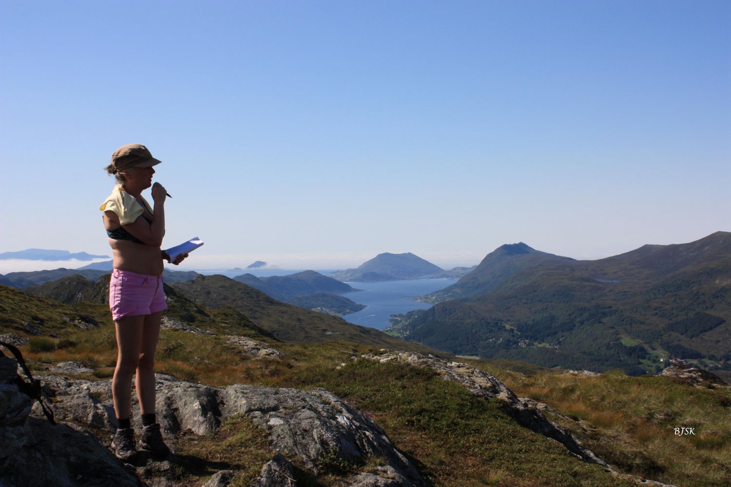
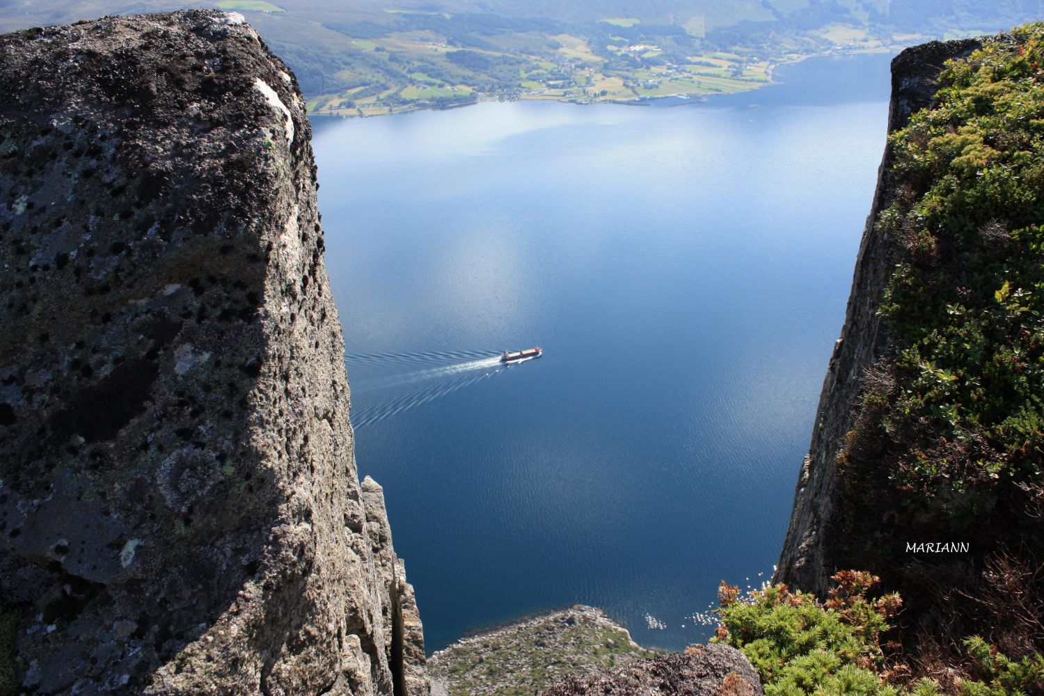
Mount Laupsnipalies lies on the border of Herøy and Sande municipalities. It rises high above the Rovdefjorden and offers a fantastic panoramic view. The Gurskøy Sports Association (Gurskøy IL) set up a postbox with a trail journal on Laupsnipa. If you are looking for an even more spectacular view, take a 600-metre walk to Laupskeipen, another peak just west of Laupsnipa. If you go all the way down to the southern edge, you will see several places where the side of the mountain rises almost straight up from the ocean. About halfway between Laupsnipa and Laupskeipen, you will also see a 40-metre long crevice, which shows that the area is in motion and about 2 million cubic metres of rock will one day crush into the fjord below.
The hike starts from a farm 250 metres before the turnaround in Voldneset. Take the tractor road by the barn where you will see the sign for Laupsnipa. Follow the tractor road as it zigzags through the forest. Turn left at two intersections. At the end of the tractor road, take the path that runs through the forest. Once you come out of the forest, cross the river and follow the path along the ridge until you come to the top of Mount Laupsnipa.
Turn off FV61 at the junction east of Leikong Church, at the sign for Voldnes (6 km). Keep driving until almost the end of the road. The hike starts from a farm 250 metres before the turnaround.
There are two parking spaces at the starting point of the trail. It is also possible to park your car by the marina right below.
Duration
2 t. 30 min.

Sesong
Spring, Summer, Autumn
| Surface type |
Distance |
| Sti |
3,4 |
Ytre Søre Sunnmøre hiking map, M711 1119 II, Sunnmorskart.no
 Driving directions
 Print
Print